
| Memorials | : | 1 |
| Location | : | Haley Station, Renfrew County, Canada |
| Coordinate | : | 45.5722300, -76.7880700 |
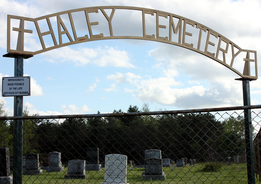
| Description | : | Ross Twp (Con 2, Lot 21), 1005 Calvin Road, Haley Station This cemetery is on the south side of Hwy 17 about 10 kms east of Cobden. Exit south on Calvin Road and the cemetery is immediately on the right. |
frequently asked questions (FAQ):
-
Where is Haley Cemetery?
Haley Cemetery is located at Haley Station, Renfrew County ,Ontario ,Canada.
-
Haley Cemetery cemetery's updated grave count on graveviews.com?
1 memorials
-
Where are the coordinates of the Haley Cemetery?
Latitude: 45.5722300
Longitude: -76.7880700

Nearby Cemetories:
1. Rosebank Cemetery
Rosebank, Renfrew County, Canada
Coordinate: 45.5251000, -76.7829110
2. Cobden Cemetery
Cobden, Renfrew County, Canada
Coordinate: 45.6171200, -76.8671200
3. Saint Andrew's Presbyterian Cemetery
Kerr Line, Renfrew County, Canada
Coordinate: 45.6479200, -76.7433600
4. St. George Anglican Church Cemetery
Portage-du-Fort, Outaouais Region, Canada
Coordinate: 45.5934170, -76.6678210
5. Protestant Cemetery of Portage du Fort
Portage-du-Fort, Outaouais Region, Canada
Coordinate: 45.5926410, -76.6584030
6. St. James Roman Catholic Cemetery
Portage-du-Fort, Outaouais Region, Canada
Coordinate: 45.5929000, -76.6582800
7. North Horton Cemetery
Renfrew, Renfrew County, Canada
Coordinate: 45.5177800, -76.6718355
8. St. James the Greater Cemetery
Portage-du-Fort, Outaouais Region, Canada
Coordinate: 45.6091700, -76.6508400
9. Howard Cemetery
Foresters Falls, Renfrew County, Canada
Coordinate: 45.6787224, -76.7817764
10. Saint Francis Xavier Cemetery
Renfrew, Renfrew County, Canada
Coordinate: 45.4872100, -76.6921600
11. Litchfield United Cemetery
Outaouais Region, Canada
Coordinate: 45.6309030, -76.6564860
12. Beachburg Mennonite Cemetery
Cobden, Renfrew County, Canada
Coordinate: 45.6728430, -76.8527980
13. Beachburg Mennonite Cemetery
Beachburg, Renfrew County, Canada
Coordinate: 45.6751052, -76.8551953
14. Admaston Cemetery
Admaston, Renfrew County, Canada
Coordinate: 45.4568750, -76.7694830
15. Pioneer Cemetery
Osceola, Renfrew County, Canada
Coordinate: 45.6231291, -76.9430902
16. Saint Pius V Cemetery
Osceola, Renfrew County, Canada
Coordinate: 45.6257000, -76.9445000
17. Saint Michael Roman Catholic Cemetery
Bromley, Renfrew County, Canada
Coordinate: 45.5166367, -76.9439485
18. Douglas Public Cemetery
Douglas, Renfrew County, Canada
Coordinate: 45.5119600, -76.9439500
19. Thompson Hill Cemetery
Thompson Hill, Renfrew County, Canada
Coordinate: 45.4567900, -76.6710200
20. McLaren Cemetery
Renfrew, Renfrew County, Canada
Coordinate: 45.4553800, -76.6632200
21. Costello Cemetery
Horton, Renfrew County, Canada
Coordinate: 45.4684307, -76.6346983
22. St-James Anglican Cemetery
Bryson, Outaouais Region, Canada
Coordinate: 45.6659470, -76.6201850
23. Bryson United Cemetery
Bryson, Outaouais Region, Canada
Coordinate: 45.6667250, -76.6203580
24. Old Martin Cemetery
Horton, Renfrew County, Canada
Coordinate: 45.4673350, -76.6318680