
| Memorials | : | 56 |
| Location | : | Foresters Falls, Renfrew County, Canada |
| Coordinate | : | 45.6787224, -76.7817764 |
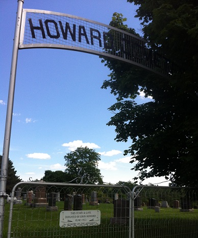
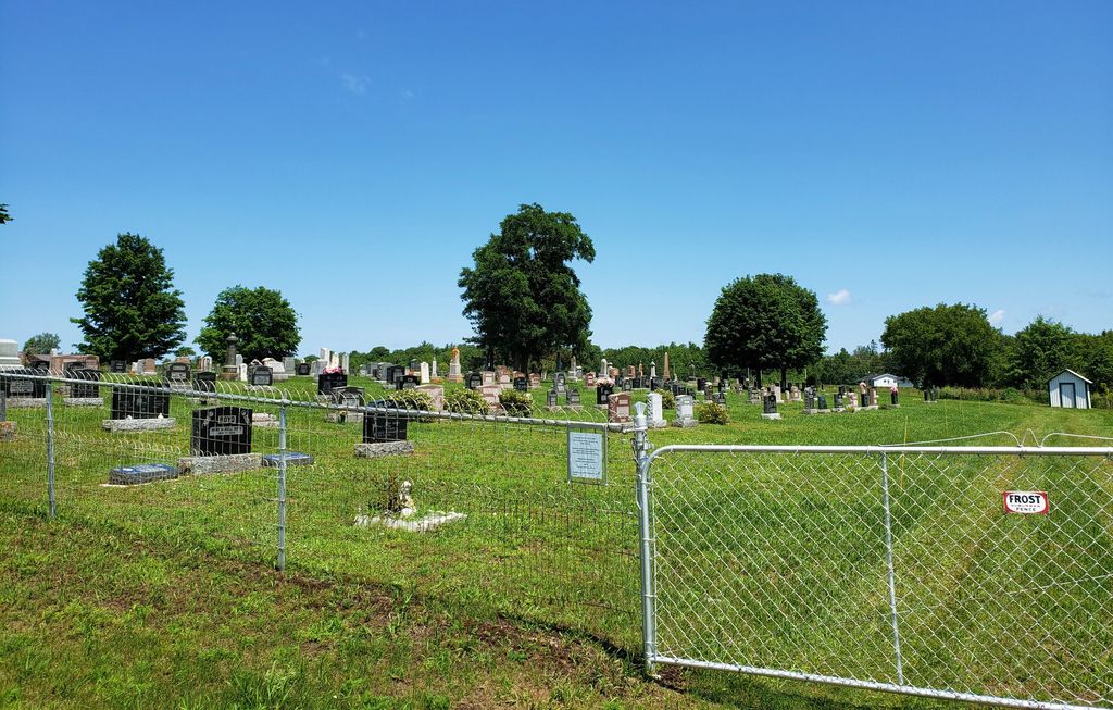
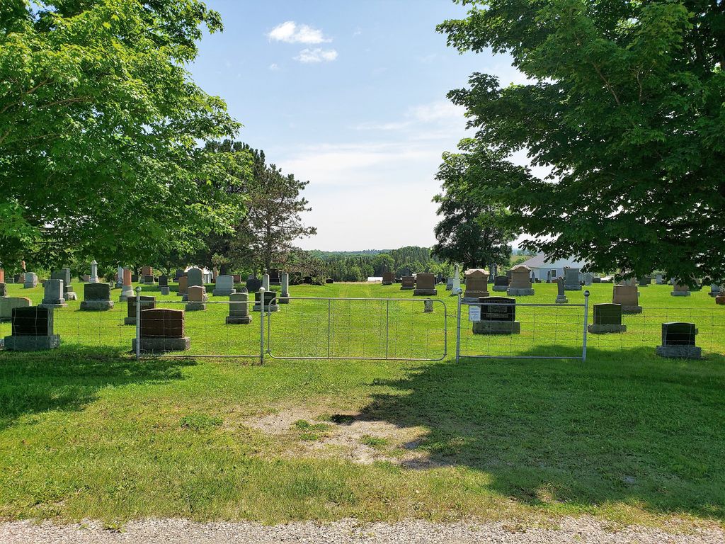
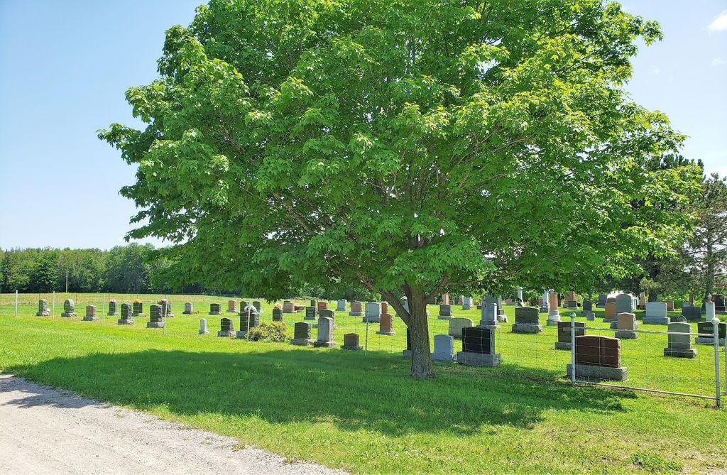
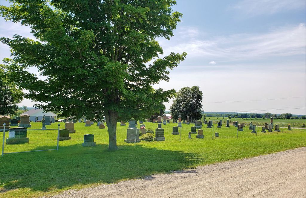
| Description | : | Howard Cemetery Foresters Falls, Ross Township, Renfrew County Directions to Cemetery: The Howard Cemetery is located East of Pembroke and East of Highway 17. Driving from Ottawa on Hwy 17 you would turn east on Hwy 7 at Cobden and proceed about 10 miles to Foresters Falls. Inside the town turn left on Government Rd and proceed to Bennett Rd and you will see the cemetery on the right side. |
frequently asked questions (FAQ):
-
Where is Howard Cemetery?
Howard Cemetery is located at Foresters Falls, Renfrew County ,Ontario ,Canada.
-
Howard Cemetery cemetery's updated grave count on graveviews.com?
56 memorials
-
Where are the coordinates of the Howard Cemetery?
Latitude: 45.6787224
Longitude: -76.7817764
Nearby Cemetories:
1. Saint Andrew's Presbyterian Cemetery
Kerr Line, Renfrew County, Canada
Coordinate: 45.6479200, -76.7433600
2. Beachburg Mennonite Cemetery
Cobden, Renfrew County, Canada
Coordinate: 45.6728430, -76.8527980
3. Beachburg Mennonite Cemetery
Beachburg, Renfrew County, Canada
Coordinate: 45.6751052, -76.8551953
4. Beachburg Union Cemetery
Beachburg, Renfrew County, Canada
Coordinate: 45.7300987, -76.8577194
5. St. Augustines Anglican
Westmeath, Renfrew County, Canada
Coordinate: 45.7306000, -76.8597000
6. St. Augustine Anglican Cemetery
Beachburg, Renfrew County, Canada
Coordinate: 45.7306000, -76.8597300
7. Cobden Cemetery
Cobden, Renfrew County, Canada
Coordinate: 45.6171200, -76.8671200
8. Litchfield United Cemetery
Outaouais Region, Canada
Coordinate: 45.6309030, -76.6564860
9. Dunraven United Church Cemetery
Dunraven, Outaouais Region, Canada
Coordinate: 45.7469270, -76.6679970
10. Haley Cemetery
Haley Station, Renfrew County, Canada
Coordinate: 45.5722300, -76.7880700
11. Immaculée Conception Cemetery
Bryson, Outaouais Region, Canada
Coordinate: 45.6775480, -76.6219680
12. Bryson United Cemetery
Bryson, Outaouais Region, Canada
Coordinate: 45.6667250, -76.6203580
13. St-James Anglican Cemetery
Bryson, Outaouais Region, Canada
Coordinate: 45.6659470, -76.6201850
14. St. James the Greater Cemetery
Portage-du-Fort, Outaouais Region, Canada
Coordinate: 45.6091700, -76.6508400
15. St. George Anglican Church Cemetery
Portage-du-Fort, Outaouais Region, Canada
Coordinate: 45.5934170, -76.6678210
16. St. James Roman Catholic Cemetery
Portage-du-Fort, Outaouais Region, Canada
Coordinate: 45.5929000, -76.6582800
17. Protestant Cemetery of Portage du Fort
Portage-du-Fort, Outaouais Region, Canada
Coordinate: 45.5926410, -76.6584030
18. Saint Pius V Cemetery
Osceola, Renfrew County, Canada
Coordinate: 45.6257000, -76.9445000
19. Pioneer Cemetery
Osceola, Renfrew County, Canada
Coordinate: 45.6231291, -76.9430902
20. Ste-Anne Roman Catholic Cemetery
L'Île-du-Grand-Calumet, Outaouais Region, Canada
Coordinate: 45.7329770, -76.6124910
21. Our Lady Of Mount Carmel Roman Catholic Cemetery
Westmeath, Renfrew County, Canada
Coordinate: 45.8133060, -76.7716770
22. Saint George's Anglican Church Cemetery
Campbell's Bay, Outaouais Region, Canada
Coordinate: 45.7240240, -76.5958660
23. St. Andrew's United Cemetery
Campbell's Bay, Outaouais Region, Canada
Coordinate: 45.7244200, -76.5957900
24. Grace United Church Cemetery
Perretton, Renfrew County, Canada
Coordinate: 45.7556200, -76.9519100