
| Memorials | : | 5 |
| Location | : | Ray County, USA |
| Coordinate | : | 39.3107986, -94.1007996 |
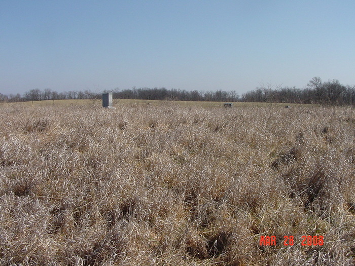
| Description | : | Directions; 1973 Ray County History: The Hamilton Cemetery is located 1/4 mile north of Highway 10, 3/4 mile east of Elkhorn on a one acre plot. In 1973 the land is owned by William Irons. the land was originally settled on the government grant ground by Willis Hamilton, M.D. The stones in this cemetery can be seen during the winter months from the highway. Many of the stones are legible and tell the sad story of high infant mortality of the pioneer times. Ray County Library: From Elkhorn travel east on Highway 10 to the TV tower, to... Read More |
frequently asked questions (FAQ):
-
Where is Hamilton Cemetery?
Hamilton Cemetery is located at Ray County ,Missouri ,USA.
-
Hamilton Cemetery cemetery's updated grave count on graveviews.com?
5 memorials
-
Where are the coordinates of the Hamilton Cemetery?
Latitude: 39.3107986
Longitude: -94.1007996


Nearby Cemetories:
1. Cravens Headstone
Ray County, USA
Coordinate: 39.3134300, -94.1080300
2. Pettus Cemetery
Elkhorn, Ray County, USA
Coordinate: 39.2935982, -94.0988998
3. Brand Family Cemetery
Richmond, Ray County, USA
Coordinate: 39.2864600, -94.0908800
4. Rock Falls Church Cemetery
Elkhorn, Ray County, USA
Coordinate: 39.2893500, -94.1221800
5. O'Dell Cemetery
Excelsior Springs, Ray County, USA
Coordinate: 39.2995987, -94.1346970
6. Sanderson Cemetery
Rayville, Ray County, USA
Coordinate: 39.3333015, -94.0699997
7. Covey Cemetery
Ray County, USA
Coordinate: 39.2702713, -94.0865707
8. JB Tombstone
Richmond, Ray County, USA
Coordinate: 39.2702713, -94.0865707
9. Gant Cemetery
Rayville, Ray County, USA
Coordinate: 39.3548393, -94.0880280
10. Windy Hill Cemetery
Wood Heights, Ray County, USA
Coordinate: 39.3407364, -94.1462250
11. Todds Chapel Cemetery
Richmond, Ray County, USA
Coordinate: 39.2864000, -94.0448000
12. Major Williams Cemetery
Richmond, Ray County, USA
Coordinate: 39.3153000, -94.0363998
13. Crowley Cemetery
Rayville, Ray County, USA
Coordinate: 39.3410988, -94.0492020
14. Rowland Cemetery
Ray County, USA
Coordinate: 39.2694016, -94.1389008
15. McGaugh Cemetery
Rayville, Ray County, USA
Coordinate: 39.3608017, -94.0849991
16. North New Garden Primitive Baptist Church Cemetery
Wood Heights, Ray County, USA
Coordinate: 39.3271027, -94.1648026
17. Old New Garden Primitive Baptist Cemetery
Wood Heights, Ray County, USA
Coordinate: 39.3227005, -94.1669006
18. Gordon Cemetery
Orrick, Ray County, USA
Coordinate: 39.2552986, -94.0871964
19. Patton Family Cemetery
Richmond, Ray County, USA
Coordinate: 39.3199300, -94.0259400
20. John Clevenger Cemetery
Crystal Lakes, Ray County, USA
Coordinate: 39.3551300, -94.1540600
21. John Cleavenger Cemetery
Crystal Lakes, Ray County, USA
Coordinate: 39.3551407, -94.1542053
22. Presley Carter Family Cemetery
Richmond, Ray County, USA
Coordinate: 39.2796400, -94.0326300
23. Pisgah Cemetery
Wood Heights, Ray County, USA
Coordinate: 39.3376846, -94.1775055
24. Clevenger Cemetery
Crystal Lakes, Ray County, USA
Coordinate: 39.3600006, -94.1560974