| Memorials | : | 0 |
| Location | : | Eldorado, Montgomery County, USA |
| Coordinate | : | 35.4628800, -80.0421900 |
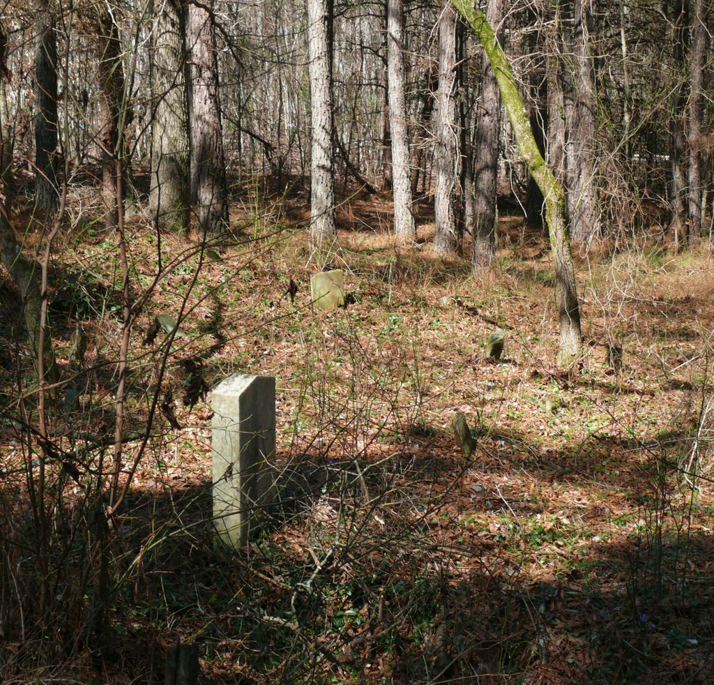
| Description | : | Located off NC 109 and Dark Springs Mountain Trail in a partially wooded area. The US postal code is for Troy but the cemetery is in Eldorado. Located near an alpaca farm. Named Harris Cemetery at Jones Field to reflect it's referenced name in other publications. One findagrave member suggested calling it the Jarrot Harris Cemetery. |
frequently asked questions (FAQ):
-
Where is Harris Cemetery at Jones Field?
Harris Cemetery at Jones Field is located at Dark Springs Mountain Trail Eldorado, Montgomery County ,North Carolina , 27371USA.
-
Harris Cemetery at Jones Field cemetery's updated grave count on graveviews.com?
0 memorials
-
Where are the coordinates of the Harris Cemetery at Jones Field?
Latitude: 35.4628800
Longitude: -80.0421900
Nearby Cemetories:
1. William Harris Plot
Eldorado, Montgomery County, USA
Coordinate: 35.4570780, -80.0316940
2. Eldorado Baptist Church Cemetery
Troy, Montgomery County, USA
Coordinate: 35.4696130, -80.0322210
3. Macedonia United Methodist Church Cemetery
Eldorado, Montgomery County, USA
Coordinate: 35.4534730, -80.0219934
4. Elliott Home Cemetery
Blaine, Montgomery County, USA
Coordinate: 35.4690600, -80.0771160
5. Coggin-Russell-Henderson Family Cemetery
Montgomery County, USA
Coordinate: 35.4860260, -80.0660200
6. Coggin Family Cemetery
Eldorado, Montgomery County, USA
Coordinate: 35.4871255, -80.0189785
7. Center Cemetery
Troy, Montgomery County, USA
Coordinate: 35.4922800, -80.0569600
8. Russell Cemetery
Montgomery County, USA
Coordinate: 35.4996986, -80.0310974
9. Elliotts Grove Cemetery
Troy, Montgomery County, USA
Coordinate: 35.4874200, -80.0856020
10. Elliott Cemetery
Eldorado Township, Montgomery County, USA
Coordinate: 35.4657920, -80.0997170
11. Zoar Cemetery
Montgomery County, USA
Coordinate: 35.4282990, -79.9978027
12. Coggin
Uwharrie, Montgomery County, USA
Coordinate: 35.4219500, -79.9992000
13. Ophir United Methodist Church Cemetery
Troy, Montgomery County, USA
Coordinate: 35.4812670, -79.9787330
14. Hannah Grave Yard
New Hope, Randolph County, USA
Coordinate: 35.5147600, -80.0666400
15. Lanes Chapel Church Cemetery
Montgomery County, USA
Coordinate: 35.4804174, -80.1083843
16. Uwharrie United Methodist Church Cemetery
Troy, Montgomery County, USA
Coordinate: 35.4124000, -80.0034200
17. Old Hillsborough Methodist Church Cemetery
New Hope, Randolph County, USA
Coordinate: 35.5251420, -80.0378970
18. James Reeves Family Cemetery
Uwharrie, Montgomery County, USA
Coordinate: 35.4929426, -80.1125048
19. Graveyard Island
Badin, Stanly County, USA
Coordinate: 35.4580130, -80.1237200
20. Woodell
Uwharrie, Montgomery County, USA
Coordinate: 35.4879000, -79.9616667
21. Palmerville Cemetery
Palmerville, Stanly County, USA
Coordinate: 35.4265030, -80.1162200
22. New Hope - Cedar Grove Community Cemetery
New London, Stanly County, USA
Coordinate: 35.4478080, -80.1323030
23. Griffon Family Cemetery
New Hope, Randolph County, USA
Coordinate: 35.5285100, -79.9969500
24. Liberty Fellowship Church
Denton, Davidson County, USA
Coordinate: 35.5337785, -80.0094312

