
| Memorials | : | 4 |
| Location | : | Montgomery County, USA |
| Coordinate | : | 35.4804174, -80.1083843 |
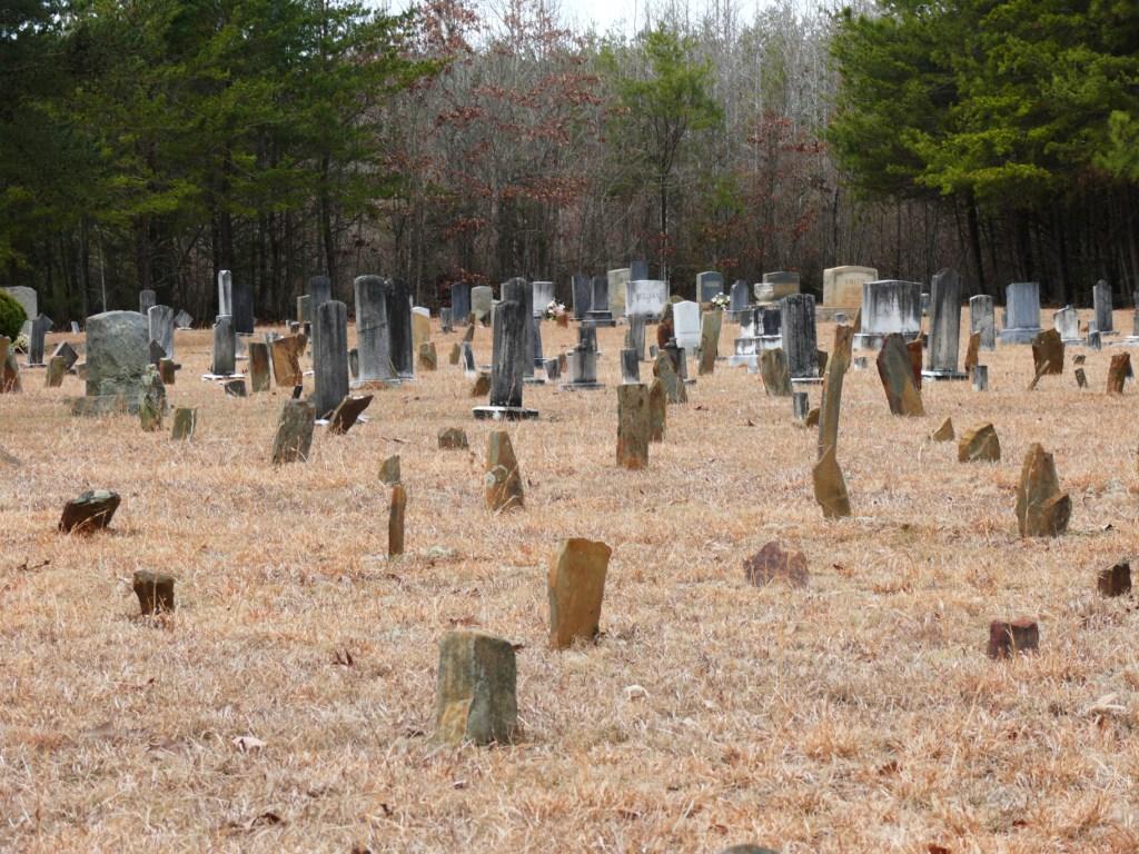
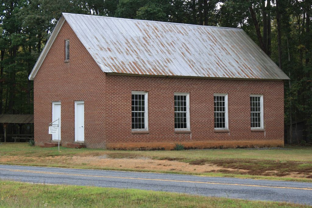
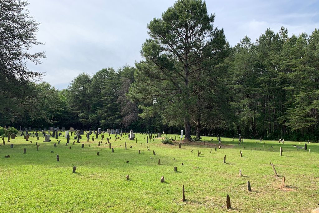
| Description | : | Lane's Chapel Church Cemetery, River Road, Montgomery County, North Carolina. |
frequently asked questions (FAQ):
-
Where is Lanes Chapel Church Cemetery?
Lanes Chapel Church Cemetery is located at Montgomery County ,North Carolina ,USA.
-
Lanes Chapel Church Cemetery cemetery's updated grave count on graveviews.com?
4 memorials
-
Where are the coordinates of the Lanes Chapel Church Cemetery?
Latitude: 35.4804174
Longitude: -80.1083843

Nearby Cemetories:
1. James Reeves Family Cemetery
Uwharrie, Montgomery County, USA
Coordinate: 35.4929426, -80.1125048
2. Elliott Cemetery
Eldorado Township, Montgomery County, USA
Coordinate: 35.4657920, -80.0997170
3. Elliotts Grove Cemetery
Troy, Montgomery County, USA
Coordinate: 35.4874200, -80.0856020
4. Graveyard Island
Badin, Stanly County, USA
Coordinate: 35.4580130, -80.1237200
5. Elliott Home Cemetery
Blaine, Montgomery County, USA
Coordinate: 35.4690600, -80.0771160
6. Chandlers Grove United Methodist Church Cemetery
Montgomery County, USA
Coordinate: 35.5014400, -80.1376700
7. Coggin-Russell-Henderson Family Cemetery
Montgomery County, USA
Coordinate: 35.4860260, -80.0660200
8. New Hope - Cedar Grove Community Cemetery
New London, Stanly County, USA
Coordinate: 35.4478080, -80.1323030
9. Center Cemetery
Troy, Montgomery County, USA
Coordinate: 35.4922800, -80.0569600
10. Hannah Grave Yard
New Hope, Randolph County, USA
Coordinate: 35.5147600, -80.0666400
11. Tuckertown Cemetery
Uwharrie, Montgomery County, USA
Coordinate: 35.4859700, -80.1725100
12. Palmerville Cemetery
Palmerville, Stanly County, USA
Coordinate: 35.4265030, -80.1162200
13. Harris Cemetery #1
New London, Stanly County, USA
Coordinate: 35.4740170, -80.1758330
14. Coggin
Davidson County, USA
Coordinate: 35.5357530, -80.1162100
15. Alleghany United Methodist Church Cemetery
Denton, Davidson County, USA
Coordinate: 35.5353690, -80.1247500
16. Harris Cemetery at Jones Field
Eldorado, Montgomery County, USA
Coordinate: 35.4628800, -80.0421900
17. John Loftin Cemetery
Healing Springs, Davidson County, USA
Coordinate: 35.5292300, -80.1482600
18. Eldorado Baptist Church Cemetery
Troy, Montgomery County, USA
Coordinate: 35.4696130, -80.0322210
19. Russell Cemetery
Montgomery County, USA
Coordinate: 35.4996986, -80.0310974
20. William Harris Plot
Eldorado, Montgomery County, USA
Coordinate: 35.4570780, -80.0316940
21. Bethel United Methodist Church Cemetery
New London, Stanly County, USA
Coordinate: 35.4522000, -80.1852330
22. Lanier Cemetery
Jackson Hill, Davidson County, USA
Coordinate: 35.5463300, -80.0839800
23. Old Hillsborough Methodist Church Cemetery
New Hope, Randolph County, USA
Coordinate: 35.5251420, -80.0378970
24. Coggin Family Cemetery
Eldorado, Montgomery County, USA
Coordinate: 35.4871255, -80.0189785