
| Memorials | : | 1 |
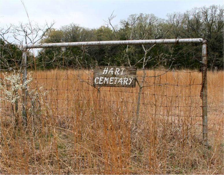
| Location | : | West Point, Payne County, USA |
| Coordinate | : | 36.2022018, -96.8274994 |
| Description | : | Located north of State Highway 51. Directions: Turn north on Mount Vernon Road and go to Yost Road. Turn west on Yost Road. The cemetery is located between Mount Vernon Road and Clay Road. |
frequently asked questions (FAQ):
-
Where is Hart Cemetery?
Hart Cemetery is located at West Point, Payne County ,Oklahoma ,USA.
-
Hart Cemetery cemetery's updated grave count on graveviews.com?
1 memorials
-
Where are the coordinates of the Hart Cemetery?
Latitude: 36.2022018
Longitude: -96.8274994
Nearby Cemetories:
1. Mount Vernon Cemetery
Pawnee, Pawnee County, USA
Coordinate: 36.2016983, -96.8181000
2. Eberle Cemetery
West Point, Payne County, USA
Coordinate: 36.1885986, -96.8811035
3. Mount Pleasant Cemetery
Pawnee County, USA
Coordinate: 36.2031000, -96.7605000
4. Bethel Cemetery
Glencoe, Payne County, USA
Coordinate: 36.1733017, -96.8902969
5. Glencoe Cemetery
Glencoe, Payne County, USA
Coordinate: 36.2033005, -96.9347000
6. South Indian Cemetery
Pawnee, Pawnee County, USA
Coordinate: 36.2902985, -96.8167038
7. Union Cemetery
Liberty Township, Pawnee County, USA
Coordinate: 36.2682200, -96.9245600
8. Ingalls Cemetery
Ingalls, Payne County, USA
Coordinate: 36.1021996, -96.8713989
9. IOOF Cemetery
Maramec, Pawnee County, USA
Coordinate: 36.2321000, -96.6866500
10. Lawson Cemetery
Yale, Payne County, USA
Coordinate: 36.1525002, -96.6941986
11. Mount Hope Cemetery
Ripley, Payne County, USA
Coordinate: 36.0736008, -96.9141998
12. West Indian Cemetery
Pawnee County, USA
Coordinate: 36.3414001, -96.8968964
13. Underwood Cemetery
Yale, Payne County, USA
Coordinate: 36.1086006, -96.6778030
14. Diamond G Cemetery
Jennings, Pawnee County, USA
Coordinate: 36.1752566, -96.6405065
15. Lela Cemetery
Noble County, USA
Coordinate: 36.3191986, -96.9507980
16. Sunrise Cemetery
Pawnee County, USA
Coordinate: 36.2030000, -96.6336000
17. Morrison Cemetery
Morrison, Noble County, USA
Coordinate: 36.2891998, -96.9894028
18. Shreve Family Cemetery
Stillwater, Payne County, USA
Coordinate: 36.0841170, -96.9622940
19. Highland Cemetery
Pawnee, Pawnee County, USA
Coordinate: 36.3633003, -96.7930984
20. North Indian Cemetery
Pawnee, Pawnee County, USA
Coordinate: 36.3650017, -96.7917023
21. Dunkin Cemetery
Ripley, Payne County, USA
Coordinate: 36.0368996, -96.8375015
22. Bend Cemetery
Ripley, Payne County, USA
Coordinate: 36.0360985, -96.8371964
23. Valley Cemetery
Pawnee County, USA
Coordinate: 36.2825012, -96.6391983
24. New Zion Cemetery
Cushing, Payne County, USA
Coordinate: 36.0227290, -96.7680020