
| Memorials | : | 0 |
| Location | : | Cartmel Fell, South Lakeland District, England |
| Coordinate | : | 54.2547900, -2.9123800 |
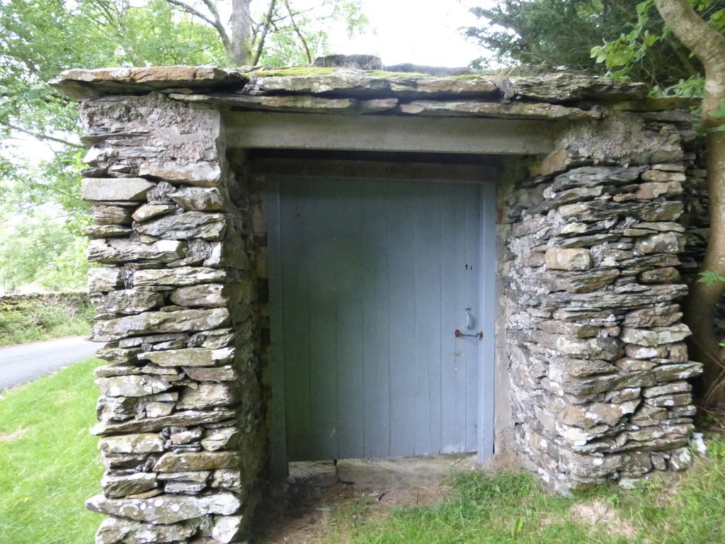
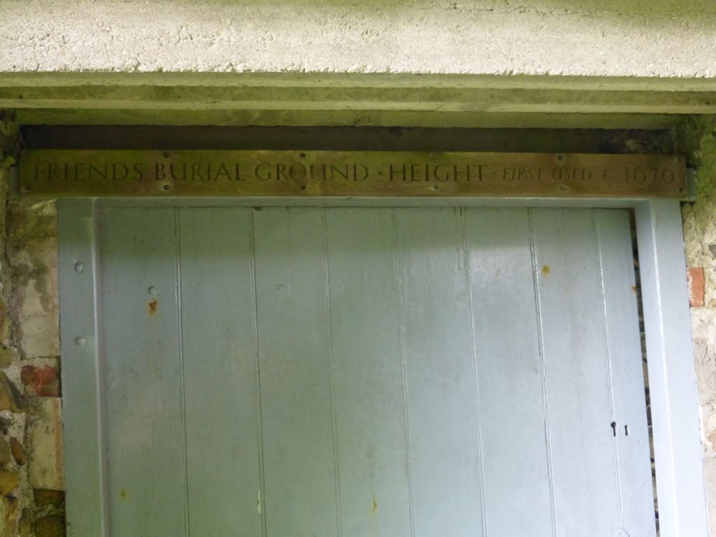
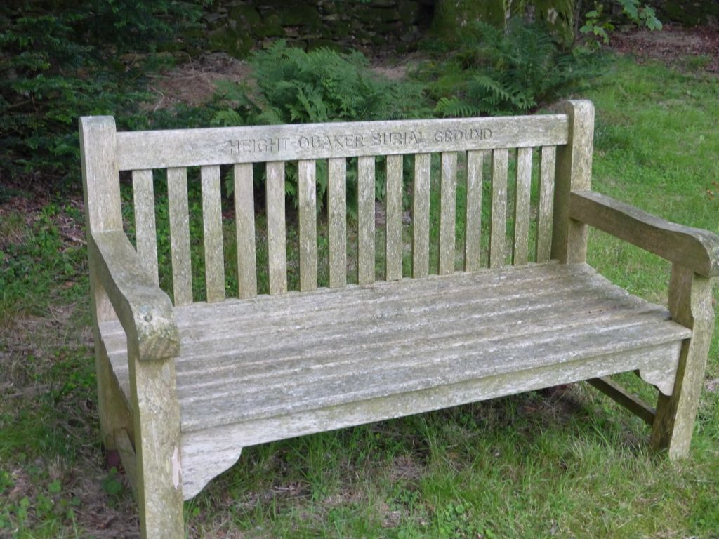
| Description | : | N 54° 15.273 W 002° 54.752 Inscription on wooden gate top: "Friends Burial Ground - Height first used 1676" On Height Road, east side, just past old Height Quaker Meeting House (also known as Barrow Wife). Room for one car parked before the gate. Cartmel Fell, Cumbria, United Kingdom. |
frequently asked questions (FAQ):
-
Where is Height Quaker Burial Ground?
Height Quaker Burial Ground is located at Cartmel Fell, South Lakeland District ,Cumbria ,England.
-
Height Quaker Burial Ground cemetery's updated grave count on graveviews.com?
0 memorials
-
Where are the coordinates of the Height Quaker Burial Ground?
Latitude: 54.2547900
Longitude: -2.9123800
Nearby Cemetories:
1. St. Paul's Churchyard
Witherslack, South Lakeland District, England
Coordinate: 54.2504370, -2.8737000
2. St. Mary’s Churchyard
Staveley-in-Cartmel, South Lakeland District, England
Coordinate: 54.2654520, -2.9543110
3. St Anthony's Churchyard
Cartmel Fell, South Lakeland District, England
Coordinate: 54.2848000, -2.8977080
4. Field Broughton St Peter Churchyard
Grange-over-Sands, South Lakeland District, England
Coordinate: 54.2278420, -2.9421240
5. St Paul's Churchyard
Lindale, South Lakeland District, England
Coordinate: 54.2159090, -2.8999800
6. John Wilkinson Memorial
Lindale, South Lakeland District, England
Coordinate: 54.2153750, -2.8933350
7. Saint Peter's Churchyard
Finsthwaite, South Lakeland District, England
Coordinate: 54.2820480, -2.9713530
8. Haverthwaite Cemetery
Haverthwaite, South Lakeland District, England
Coordinate: 54.2479110, -3.0017410
9. Saint Anne Churchyard
Haverthwaite, South Lakeland District, England
Coordinate: 54.2485890, -3.0037750
10. Cartmel Cemetery
Cartmel, South Lakeland District, England
Coordinate: 54.2035730, -2.9546320
11. Priory Church of St Mary & St Michael
Cartmel, South Lakeland District, England
Coordinate: 54.2011110, -2.9522220
12. Grange Fell Cemetery
Grange-over-Sands, South Lakeland District, England
Coordinate: 54.1923000, -2.9313800
13. Crosthwaite Cemetery
Crosthwaite, South Lakeland District, England
Coordinate: 54.3126000, -2.8546900
14. St. Mary's Churchyard
Crosthwaite, South Lakeland District, England
Coordinate: 54.3129300, -2.8526100
15. St John the Evangelist Churchyard
Levens, South Lakeland District, England
Coordinate: 54.2647380, -2.7920660
16. St Mary's Churchyard
Allithwaite, South Lakeland District, England
Coordinate: 54.1835640, -2.9427590
17. St Paul Churchyard
Rusland, South Lakeland District, England
Coordinate: 54.2981410, -3.0180230
18. Holy Trinity Churchyard
Winster, South Lakeland District, England
Coordinate: 54.3298460, -2.8974880
19. Arnside Cemetery
Arnside, South Lakeland District, England
Coordinate: 54.1922975, -2.8278230
20. Holy Trinity Churchyard
Colton, South Lakeland District, England
Coordinate: 54.2655370, -3.0480430
21. St. Peter's Churchyard
Heversham, South Lakeland District, England
Coordinate: 54.2436690, -2.7749850
22. Tottlebank Baptist Chapelyard
South Lakeland District, England
Coordinate: 54.2519210, -3.0534690
23. Helsington Churchyard
Helsington, South Lakeland District, England
Coordinate: 54.2934390, -2.7871630
24. St. John the Baptist Church
Flookburgh, South Lakeland District, England
Coordinate: 54.1760608, -2.9736311