
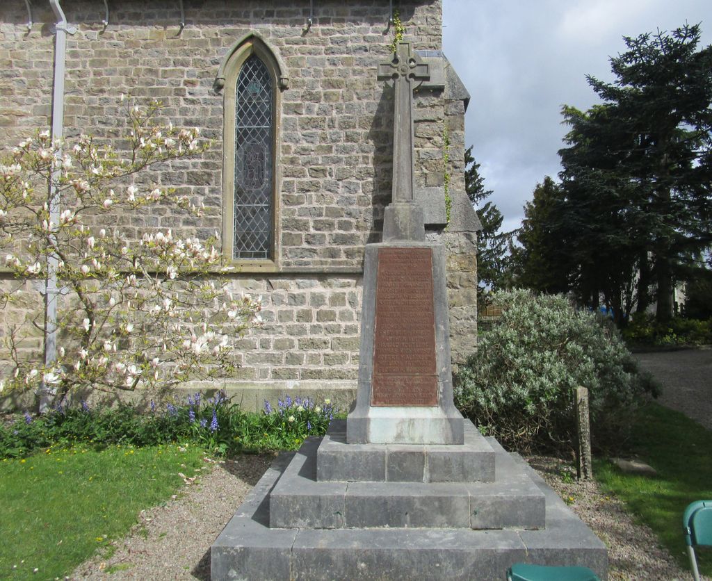
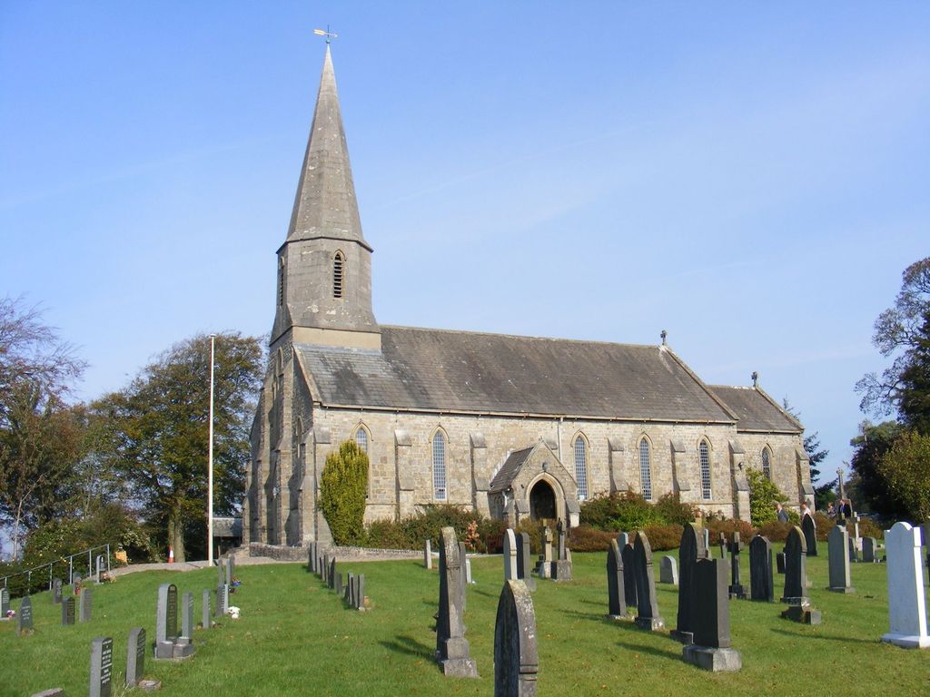
| Memorials | : | 0 |
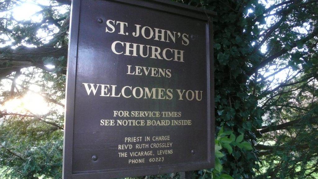
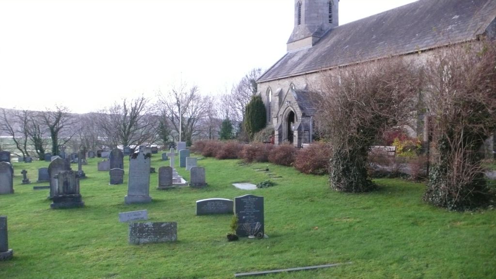
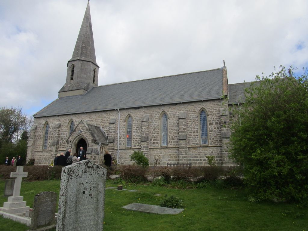
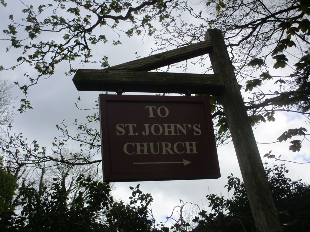
| Location | : | Levens, South Lakeland District, England |
| Coordinate | : | 54.2647380, -2.7920660 |
frequently asked questions (FAQ):
-
Where is St John the Evangelist Churchyard?
St John the Evangelist Churchyard is located at Levens, South Lakeland District ,Cumbria ,England.
-
St John the Evangelist Churchyard cemetery's updated grave count on graveviews.com?
0 memorials
-
Where are the coordinates of the St John the Evangelist Churchyard?
Latitude: 54.2647380
Longitude: -2.7920660
Nearby Cemetories:
1. St. Peter's Churchyard
Heversham, South Lakeland District, England
Coordinate: 54.2436690, -2.7749850
2. Helsington Churchyard
Helsington, South Lakeland District, England
Coordinate: 54.2934390, -2.7871630
3. St. Thomas' Churchyard
Crosscrake, South Lakeland District, England
Coordinate: 54.2763700, -2.7335300
4. St. Thomas Churchyard
Milnthorpe, South Lakeland District, England
Coordinate: 54.2267500, -2.7711100
5. St. Thomas Church Cemetery
Milnthorpe, South Lakeland District, England
Coordinate: 54.2269300, -2.7651600
6. St Mark's Churchyard
Natland, South Lakeland District, England
Coordinate: 54.2961380, -2.7374200
7. St. Paul's Churchyard
Witherslack, South Lakeland District, England
Coordinate: 54.2504370, -2.8737000
8. St. Patrick's Churchyard
Preston Patrick, South Lakeland District, England
Coordinate: 54.2451230, -2.7120480
9. Friends Meeting House Burial Ground
Preston Patrick, South Lakeland District, England
Coordinate: 54.2499970, -2.7042040
10. Beetham (St. Michael) Churchyard Extension
Beetham, South Lakeland District, England
Coordinate: 54.2100538, -2.7768882
11. St Michael and All Angels Churchyard
Beetham, South Lakeland District, England
Coordinate: 54.2093740, -2.7741380
12. Beetham Hall Crematorium
Milnthorpe, South Lakeland District, England
Coordinate: 54.2066938, -2.7690287
13. St. Mary's Churchyard
Crosthwaite, South Lakeland District, England
Coordinate: 54.3129300, -2.8526100
14. Crosthwaite Cemetery
Crosthwaite, South Lakeland District, England
Coordinate: 54.3126000, -2.8546900
15. Holy Trinity Church
Kendal, South Lakeland District, England
Coordinate: 54.3223970, -2.7448770
16. All Saints Churchyard
Underbarrow, South Lakeland District, England
Coordinate: 54.3262900, -2.8268240
17. St Anthony's Churchyard
Cartmel Fell, South Lakeland District, England
Coordinate: 54.2848000, -2.8977080
18. Parkside Cemetery
Kendal, South Lakeland District, England
Coordinate: 54.3210870, -2.7362680
19. The Sepulchre Quaker Burial Ground
Kendal, South Lakeland District, England
Coordinate: 54.3270022, -2.7502978
20. Kendal Unitarian Chapel Burial Ground
Kendal, South Lakeland District, England
Coordinate: 54.3287120, -2.7450940
21. Kendal Quaker Meeting House
Kendal, South Lakeland District, England
Coordinate: 54.3287200, -2.7431900
22. Height Quaker Burial Ground
Cartmel Fell, South Lakeland District, England
Coordinate: 54.2547900, -2.9123800
23. Holy Trinity Churchyard
Holme, South Lakeland District, England
Coordinate: 54.2030730, -2.7318680
24. St. Thomas Churchyard
Kendal, South Lakeland District, England
Coordinate: 54.3316130, -2.7489140