| Memorials | : | 28 |
| Location | : | Hellendoorn, Hellendoorn Municipality, Netherlands |
| Coordinate | : | 52.3821100, 6.4532800 |
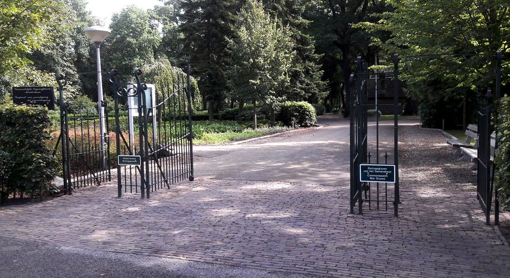
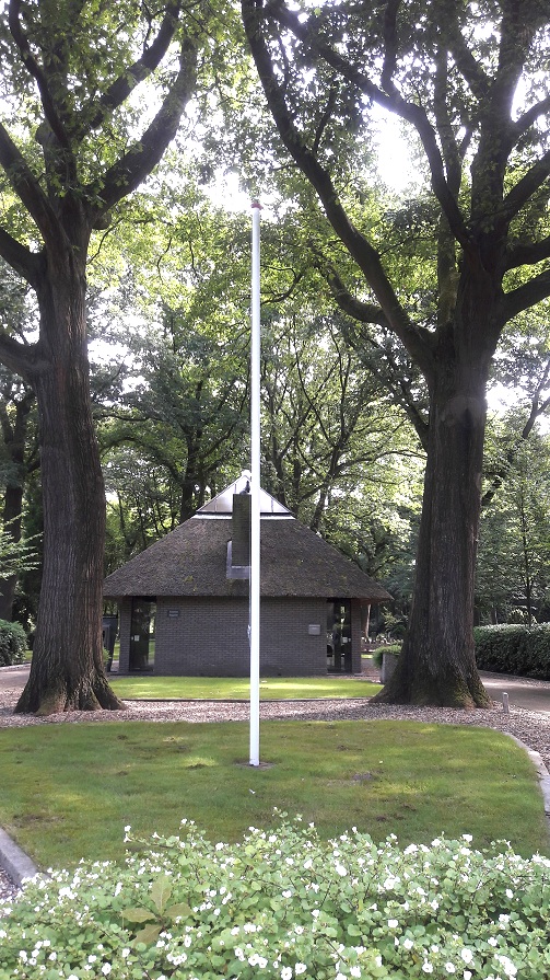
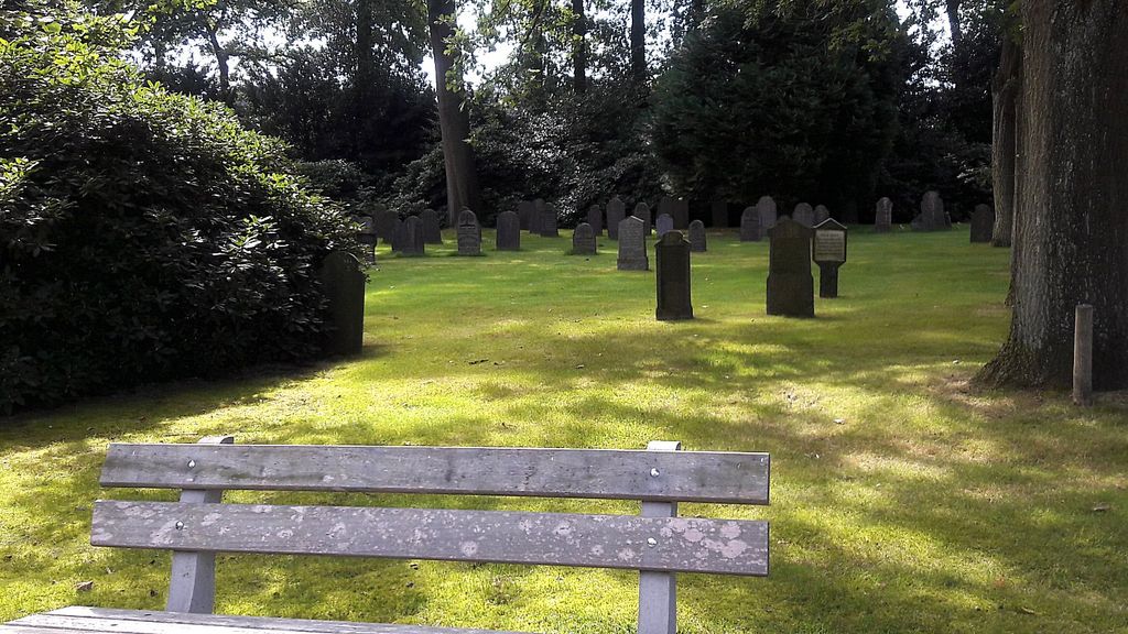
| Description | : | At the end of the 19th century the Municipality of Hellendoorn has to look for a space for a new cemetery, because the old cemetery was nearly full. So they bought in the 1890s, of the farmer Gerrit Derk Rutgers of the farmyard "De Blenke", a piece of agricultural land. On this land the Municipality situated the new cemetery in 1898. |
frequently asked questions (FAQ):
-
Where is Hellendoorn General Cemetery?
Hellendoorn General Cemetery is located at Ninaberlaan 34 Hellendoorn, Hellendoorn Municipality ,Overijssel , 7447AENetherlands.
-
Hellendoorn General Cemetery cemetery's updated grave count on graveviews.com?
26 memorials
-
Where are the coordinates of the Hellendoorn General Cemetery?
Latitude: 52.3821100
Longitude: 6.4532800
Nearby Cemetories:
1. Hellendoorn Old Cemetery
Hellendoorn, Hellendoorn Municipality, Netherlands
Coordinate: 52.3893651, 6.4513461
2. New General Cemetery
Nijverdal, Hellendoorn Municipality, Netherlands
Coordinate: 52.3742867, 6.4540704
3. Nijverdal Roman Catholic cemetery
Nijverdal, Hellendoorn Municipality, Netherlands
Coordinate: 52.3662500, 6.4481200
4. Joodse begraafplaats
Hellendoorn Municipality, Netherlands
Coordinate: 52.3993100, 6.4437900
5. Holten Canadian War Cemetery
Holten, Rijssen-Holten Municipality, Netherlands
Coordinate: 52.2995400, 6.4288900
6. Den Ham General Cemetery
Den Ham, Twenterand Municipality, Netherlands
Coordinate: 52.4611700, 6.5034300
7. Nieuwe Joodse begraafplaats
Den Ham, Twenterand Municipality, Netherlands
Coordinate: 52.4612706, 6.5076857
8. Wierden Appelhofwarstraat Cemetery
Wierden, Wierden Municipality, Netherlands
Coordinate: 52.3591800, 6.5941400
9. Den Ham Dennenhof Begraafplaats
Den Ham, Twenterand Municipality, Netherlands
Coordinate: 52.4598900, 6.5267100
10. Joodse Begraafplaats
Rijssen-Holten Municipality, Netherlands
Coordinate: 52.2927500, 6.5190000
11. Holten General Cemetery
Holten, Rijssen-Holten Municipality, Netherlands
Coordinate: 52.2830100, 6.4240800
12. Oude Joodse begraafplaats
Almelo Municipality, Netherlands
Coordinate: 52.3736100, 6.6240090
13. Vriezenveen General Cemetery
Vriezenveen, Twenterand Municipality, Netherlands
Coordinate: 52.4137100, 6.6248400
14. Raalte General Cemetery
Raalte, Raalte Municipality, Netherlands
Coordinate: 52.3774400, 6.2703600
15. Joodse Begraafplaats
Raalte Municipality, Netherlands
Coordinate: 52.3828200, 6.2677900
16. Almelo General Cemetery 't Groenedael
Almelo, Almelo Municipality, Netherlands
Coordinate: 52.3531889, 6.6446597
17. Erika Concentration Camp
Ommen, Ommen Municipality, Netherlands
Coordinate: 52.5041670, 6.4422220
18. Joodse Begraafplaats
Almelo, Almelo Municipality, Netherlands
Coordinate: 52.3591670, 6.6615790
19. Begraafplaats Laarmanshoek
Ommen, Ommen Municipality, Netherlands
Coordinate: 52.5117290, 6.3976338
20. Joodse Begraafplaats
Ommen Municipality, Netherlands
Coordinate: 52.5206110, 6.4277220
21. Ommen General Cemetery
Ommen, Ommen Municipality, Netherlands
Coordinate: 52.5222700, 6.4291600
22. Bornerbroek Roman Catholic Churchyard
Bornerbroek, Almelo Municipality, Netherlands
Coordinate: 52.3087800, 6.6557500
23. Markelo General Cemetery
Markelo, Hof van Twente Municipality, Netherlands
Coordinate: 52.2344500, 6.5029900
24. Goor New General Cemetery
Goor, Hof van Twente Municipality, Netherlands
Coordinate: 52.2353900, 6.5581200


