
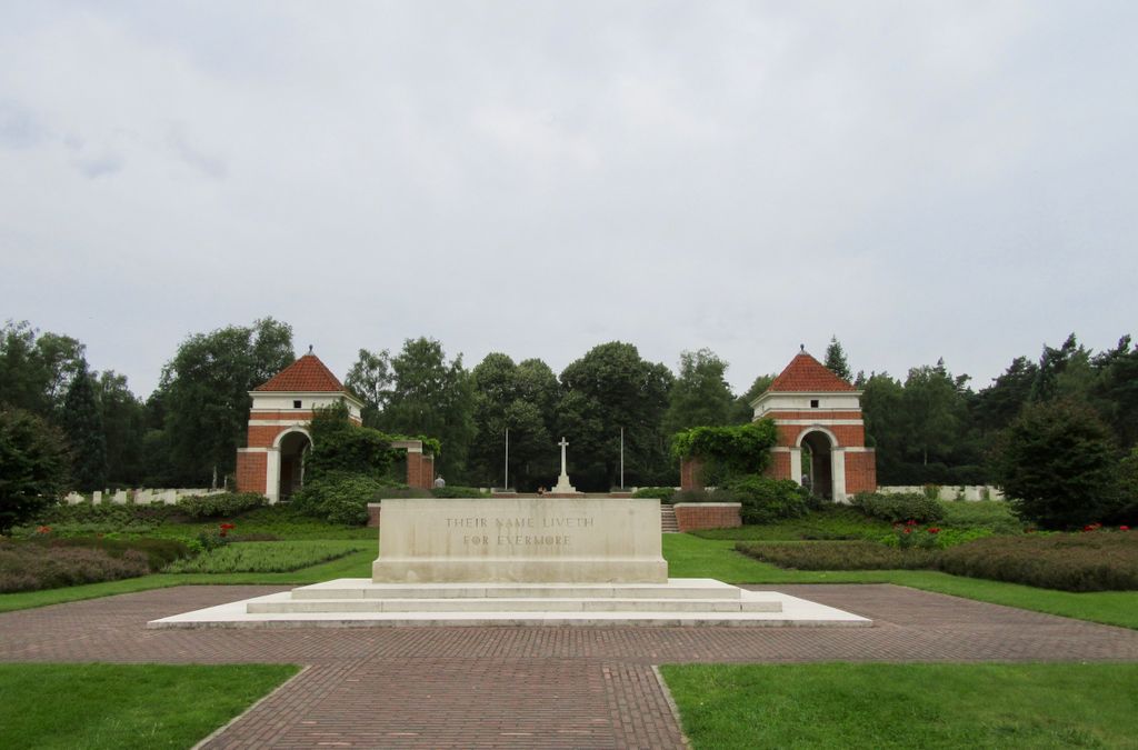
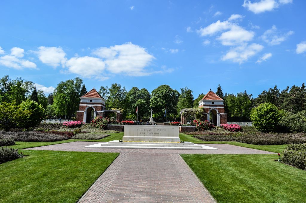
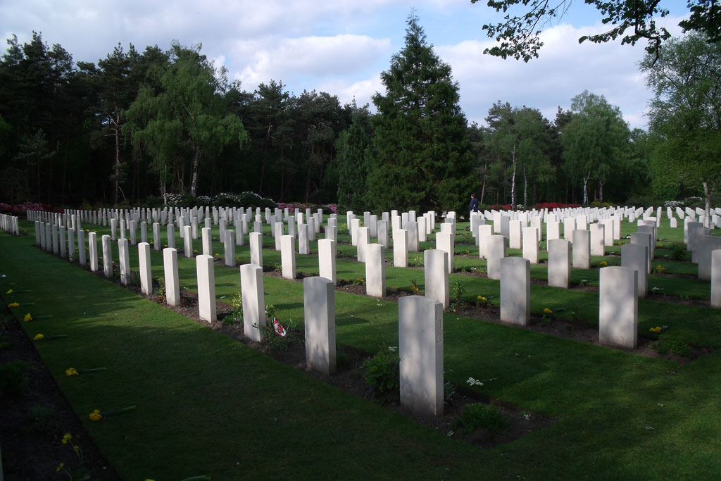
| Memorials | : | 12 |
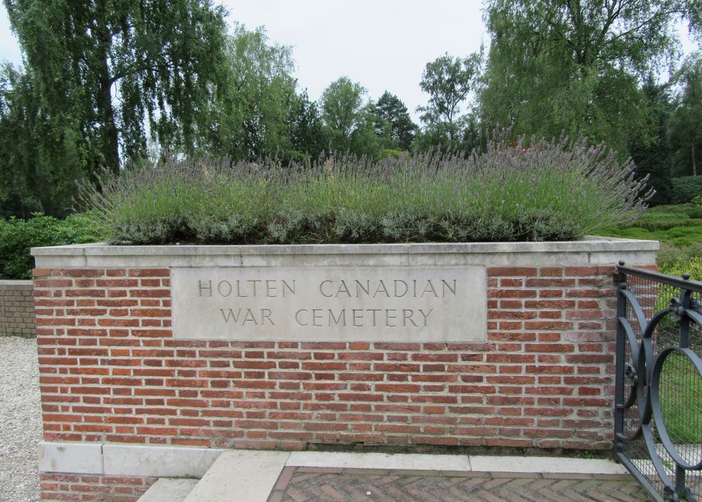
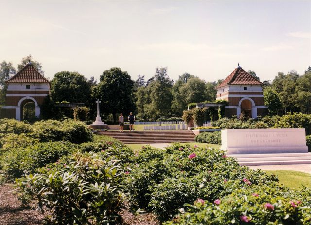
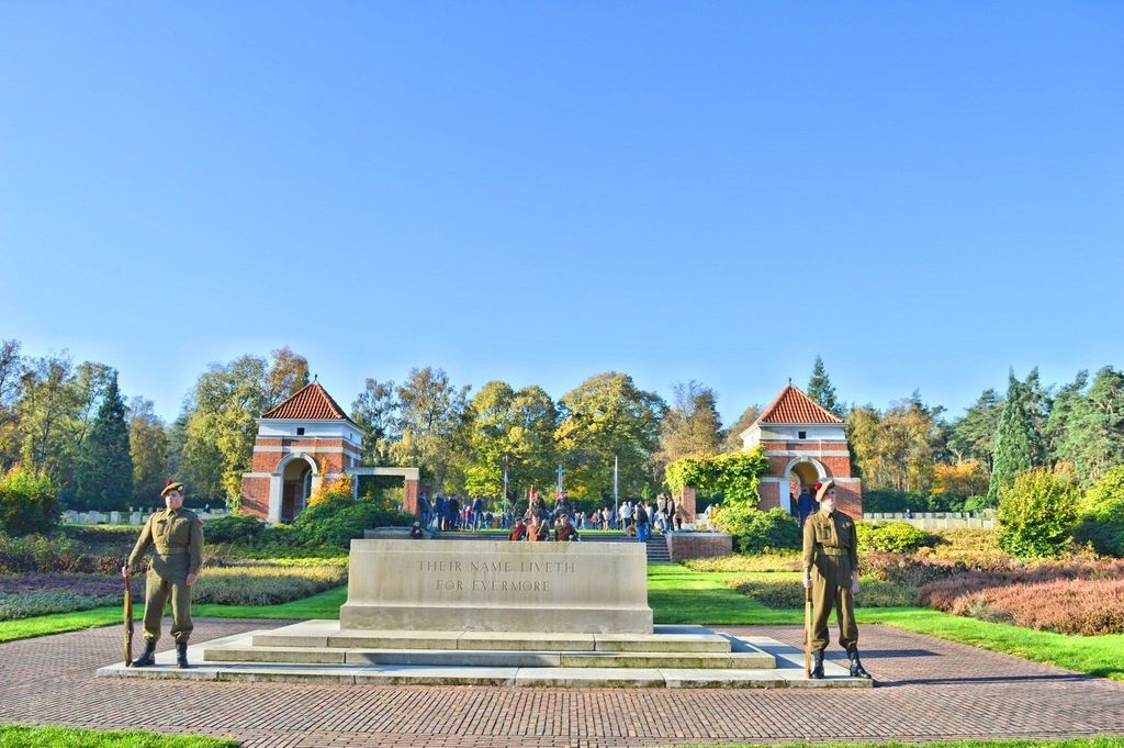
| Location | : | Holten, Rijssen-Holten Municipality, Netherlands |
| Coordinate | : | 52.2995400, 6.4288900 |
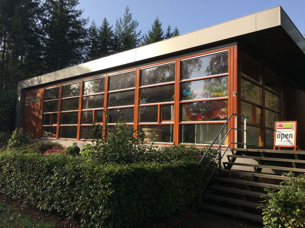
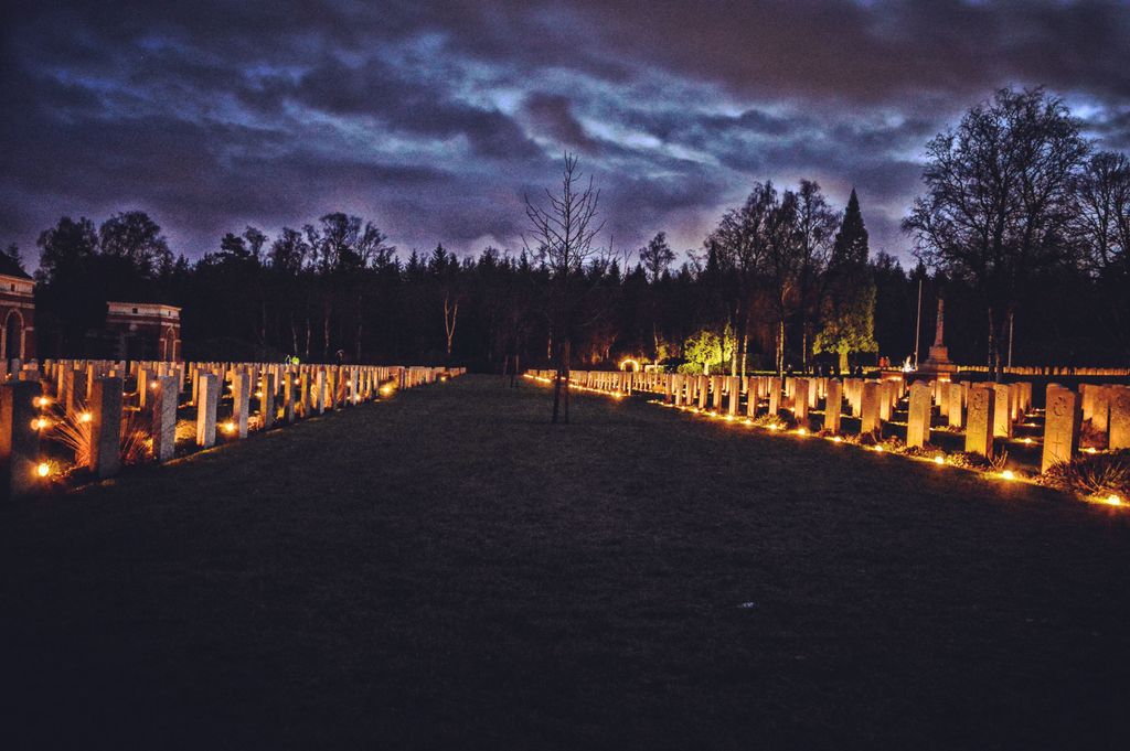
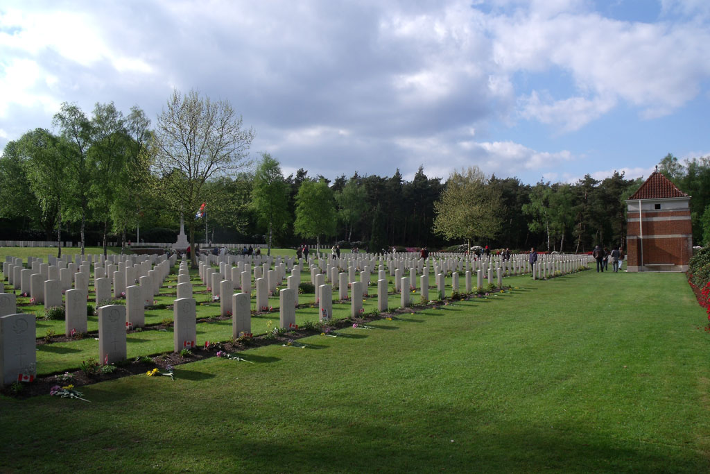
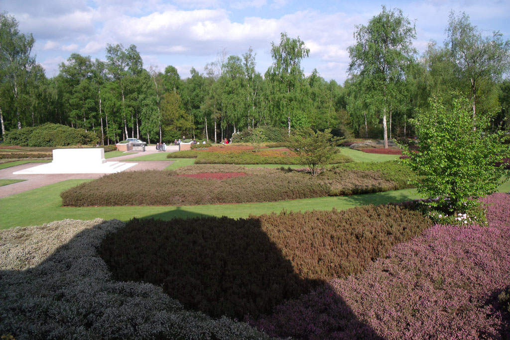
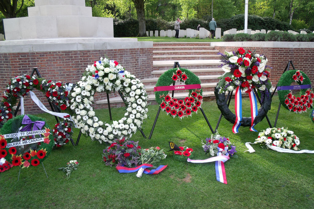
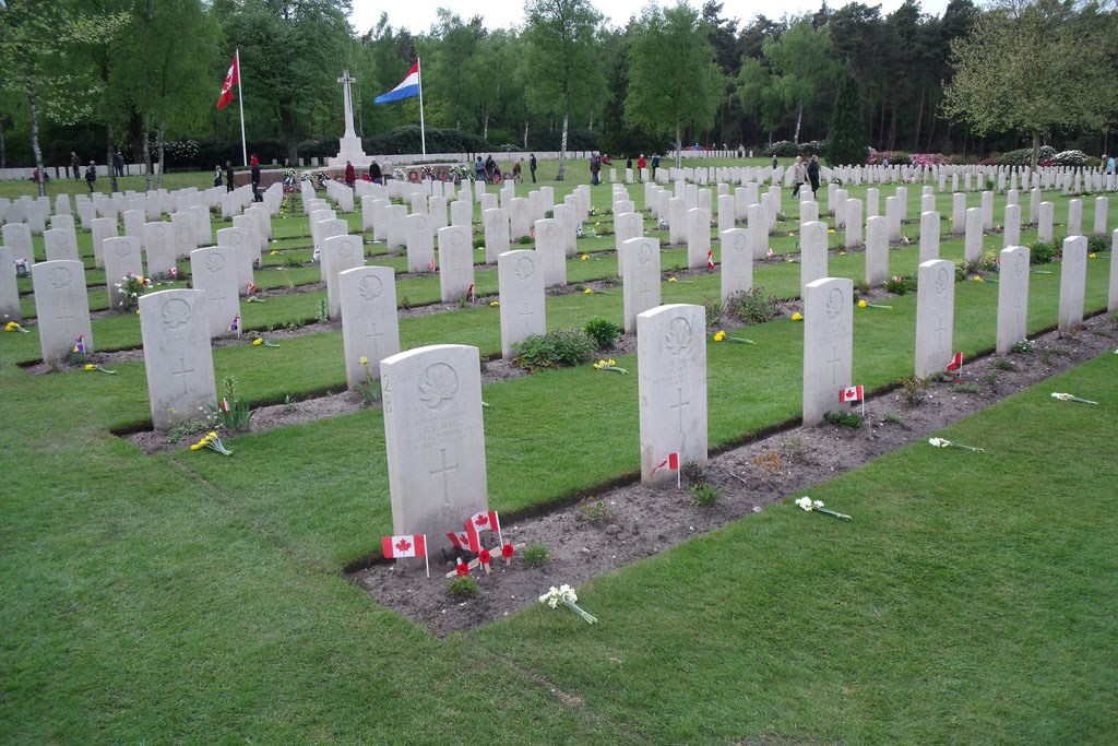
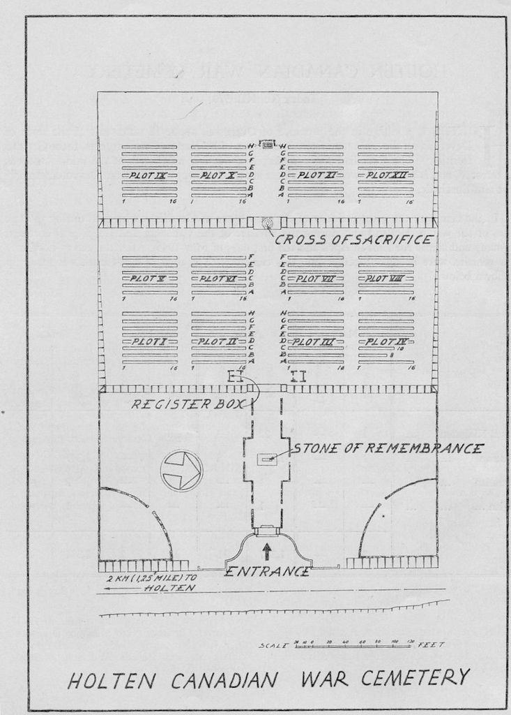
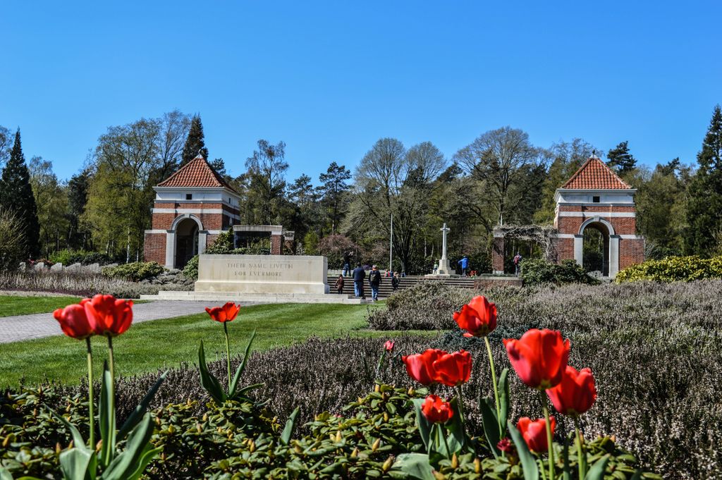
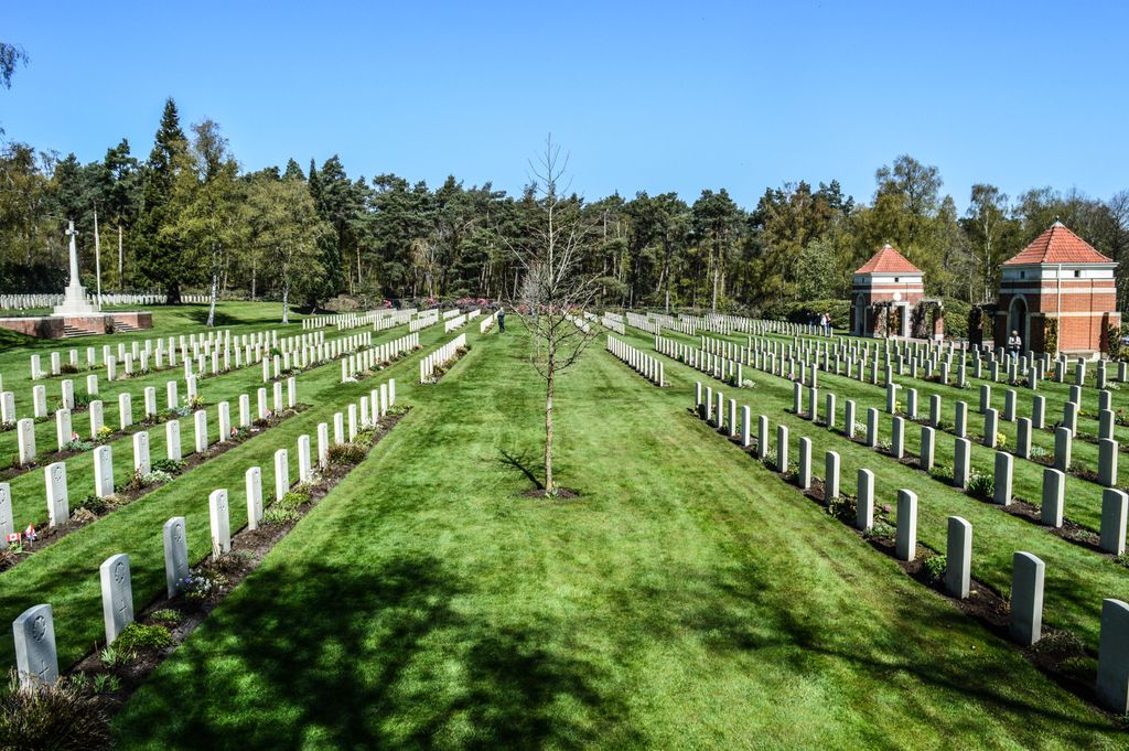
| Description | : | The village of Holten is in the north east of the Netherlands approx 20 kms east of the town of Deventer. From the A1 motorway AMSTERDAM to HENGELO take exit 27 (Afrit 27) MARKELO / HOLTEN-OOST / RIJSEN-WEST / HELLENDOORN. Follow the signs for N350 HOLTEN on the MARKELOSEWEG. Continue through the village on the ORANJESTRAAT which becomes the DORPSTRAAT. Follow the signs for HOLTERBERG. Pass under the railway bridge and then turn right at the roundabout (CWGC sign) After approx 100m turn right (CWGC sign) onto MOLENBELTERWEG. Continue for approx 2,5kms road name changes to HOLTERBERGWEG. Turn... Read More |
frequently asked questions (FAQ):
-
Where is Holten Canadian War Cemetery?
Holten Canadian War Cemetery is located at Eekhoornweg Holten, Rijssen-Holten Municipality ,Overijssel , 7451Netherlands.
-
Holten Canadian War Cemetery cemetery's updated grave count on graveviews.com?
11 memorials
-
Where are the coordinates of the Holten Canadian War Cemetery?
Latitude: 52.2995400
Longitude: 6.4288900
Nearby Cemetories:
1. Holten General Cemetery
Holten, Rijssen-Holten Municipality, Netherlands
Coordinate: 52.2830100, 6.4240800
2. Joodse Begraafplaats
Rijssen-Holten Municipality, Netherlands
Coordinate: 52.2927500, 6.5190000
3. Nijverdal Roman Catholic cemetery
Nijverdal, Hellendoorn Municipality, Netherlands
Coordinate: 52.3662500, 6.4481200
4. New General Cemetery
Nijverdal, Hellendoorn Municipality, Netherlands
Coordinate: 52.3742867, 6.4540704
5. Markelo General Cemetery
Markelo, Hof van Twente Municipality, Netherlands
Coordinate: 52.2344500, 6.5029900
6. Hellendoorn General Cemetery
Hellendoorn, Hellendoorn Municipality, Netherlands
Coordinate: 52.3821100, 6.4532800
7. Hellendoorn Old Cemetery
Hellendoorn, Hellendoorn Municipality, Netherlands
Coordinate: 52.3893651, 6.4513461
8. Joodse begraafplaats
Hellendoorn Municipality, Netherlands
Coordinate: 52.3993100, 6.4437900
9. Goor New General Cemetery
Goor, Hof van Twente Municipality, Netherlands
Coordinate: 52.2353900, 6.5581200
10. Bathmen General Cemetery
Bathmen, Deventer Municipality, Netherlands
Coordinate: 52.2505400, 6.2829400
11. Joodse begraafplaats
Goor, Hof van Twente Municipality, Netherlands
Coordinate: 52.2365100, 6.5889600
12. Joodse Begraafplaats
Diepenheim, Hof van Twente Municipality, Netherlands
Coordinate: 52.2102900, 6.5517900
13. Wierden Appelhofwarstraat Cemetery
Wierden, Wierden Municipality, Netherlands
Coordinate: 52.3591800, 6.5941400
14. Goor Roman Catholic Cemetery
Goor, Hof van Twente Municipality, Netherlands
Coordinate: 52.2335800, 6.5932700
15. Diepenheim New General Cemetery
Diepenheim, Hof van Twente Municipality, Netherlands
Coordinate: 52.1971200, 6.5427900
16. Raalte General Cemetery
Raalte, Raalte Municipality, Netherlands
Coordinate: 52.3774400, 6.2703600
17. Joodse Begraafplaats
Raalte Municipality, Netherlands
Coordinate: 52.3828200, 6.2677900
18. Oude Begraafplaats Colmschate
Colmschate, Deventer Municipality, Netherlands
Coordinate: 52.2473100, 6.2218600
19. Bornerbroek Roman Catholic Churchyard
Bornerbroek, Almelo Municipality, Netherlands
Coordinate: 52.3087800, 6.6557500
20. Oude Joodse begraafplaats
Almelo Municipality, Netherlands
Coordinate: 52.3736100, 6.6240090
21. Almelo General Cemetery 't Groenedael
Almelo, Almelo Municipality, Netherlands
Coordinate: 52.3531889, 6.6446597
22. Joodse Begraafplaats
Lochem Municipality, Netherlands
Coordinate: 52.1566170, 6.4106750
23. Lochem Nieuwe Begraafplaats
Lochem, Lochem Municipality, Netherlands
Coordinate: 52.1497700, 6.3964500
24. Almen Cemetery
Almen, Lochem Municipality, Netherlands
Coordinate: 52.1738500, 6.2861500