
| Memorials | : | 0 |
| Location | : | Rodney, Jefferson County, USA |
| Coordinate | : | 31.8475500, -91.1625670 |
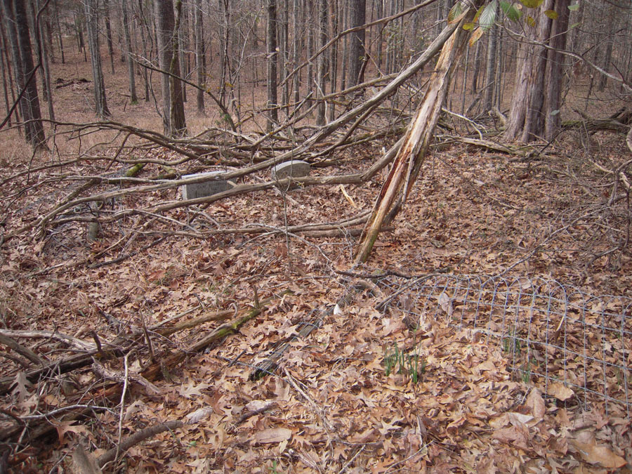
| Description | : | Located about 150 feet west of old Shadyside Plantation house site. Partially enclosed by fence; however only two gravestones are visable. Information given to Ann Beckerson Brown, and included in her books on Jefferson County cemeteries, indicates four other burials which are included here without photos by permission of Ms Brown. |
frequently asked questions (FAQ):
-
Where is Herring Cemetery?
Herring Cemetery is located at Rodney, Jefferson County ,Mississippi ,USA.
-
Herring Cemetery cemetery's updated grave count on graveviews.com?
0 memorials
-
Where are the coordinates of the Herring Cemetery?
Latitude: 31.8475500
Longitude: -91.1625670
Nearby Cemetories:
1. Laurel Hill Missionary Baptist Church Cemetery
Rodney, Jefferson County, USA
Coordinate: 31.8490170, -91.1642660
2. Laurel Hill Cemetery
Jefferson County, USA
Coordinate: 31.8533001, -91.1735992
3. Compton Cemetery
Rodney, Jefferson County, USA
Coordinate: 31.8601000, -91.1659830
4. Oak Mound Plantation Cemetery
Rodney, Jefferson County, USA
Coordinate: 31.8422100, -91.1429500
5. Coleman-McGill Cemetery
Lorman, Jefferson County, USA
Coordinate: 31.8662500, -91.1509670
6. Louis Edward Ball Gravesite
Rodney, Jefferson County, USA
Coordinate: 31.8541400, -91.1312400
7. Griffing Cemetery
Jefferson County, USA
Coordinate: 31.8558693, -91.1307602
8. Logan Cemetery
Jefferson County, USA
Coordinate: 31.8418999, -91.1958008
9. Travels Rest Baptist Church Cemetery
Rodney, Jefferson County, USA
Coordinate: 31.8329400, -91.1936400
10. Rodney Cemetery
Rodney, Jefferson County, USA
Coordinate: 31.8624992, -91.1986008
11. Scott Family Graveyard
Rodney, Jefferson County, USA
Coordinate: 31.8346700, -91.1250200
12. Oakland Cemetery
Alcorn, Claiborne County, USA
Coordinate: 31.8789005, -91.1430969
13. Snodgrass Cemetery
Rodney, Jefferson County, USA
Coordinate: 31.8422400, -91.1202500
14. Matthew Bolls Graveyard
Alcorn, Claiborne County, USA
Coordinate: 31.8721667, -91.1280167
15. Yoe Cemetery
Alcorn, Claiborne County, USA
Coordinate: 31.8695000, -91.1998300
16. Oak Hill Cemetery
Claiborne County, USA
Coordinate: 31.8752995, -91.1960983
17. Snodgrass Cemetery
Alcorn, Claiborne County, USA
Coordinate: 31.8795500, -91.1306670
18. Fellowship Church Cemetery
Rodney, Jefferson County, USA
Coordinate: 31.8370970, -91.1124520
19. Noland Hill ME Church Cemetery
Melton, Jefferson County, USA
Coordinate: 31.8022800, -91.1331700
20. Wheatley Cemetery
Lorman, Jefferson County, USA
Coordinate: 31.8505900, -91.0968500
21. Mount Olive M.B. Church Cemetery
Lorman, Jefferson County, USA
Coordinate: 31.8986390, -91.1279530
22. Dobyns Graveyard
Rodney, Jefferson County, USA
Coordinate: 31.7835900, -91.1688400
23. Smith - Dorsey Cemetery
Melton, Jefferson County, USA
Coordinate: 31.8115330, -91.0984830
24. Mount Israel Baptist Church Cemetery
Fayette, Jefferson County, USA
Coordinate: 31.7793700, -91.1698900