
| Memorials | : | 0 |
| Location | : | Alcorn, Claiborne County, USA |
| Coordinate | : | 31.8795500, -91.1306670 |
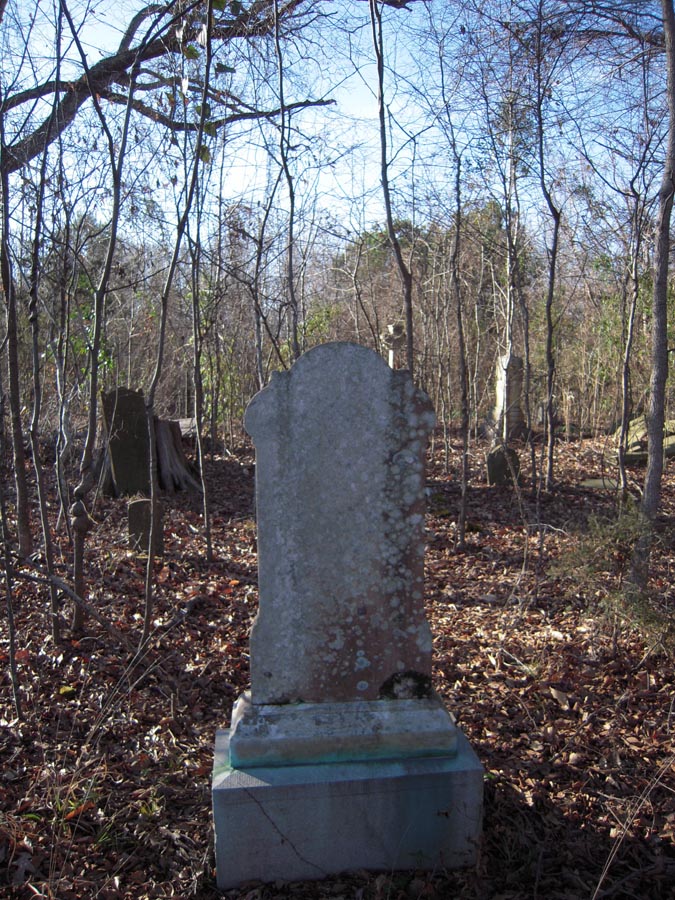
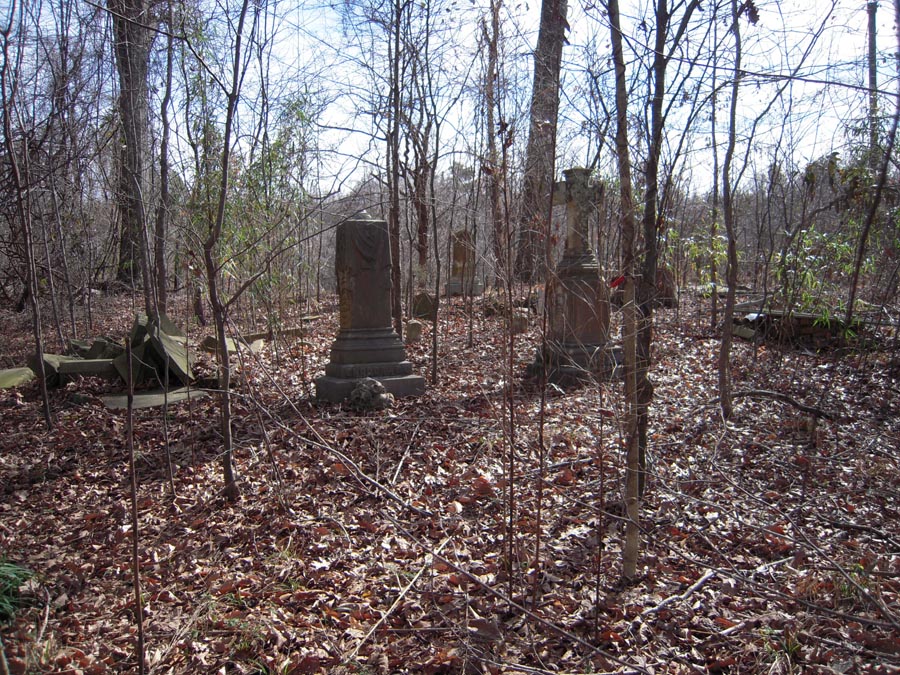
| Description | : | Cemetery not included in "Claiborne County: The Promised Land". Cemetery name is based on Sept 12, 1840 issue of the Rodney, Miss newspaper which stated: "Died in Warren county, on Thursday the 3rd inst., Mrs. Emily, wife of James Warren, Esq of this place, aged twenty three years...She was interred at the family burial place near the future residence of her father, John Snodgrass, Esq......" |
frequently asked questions (FAQ):
-
Where is Snodgrass Cemetery?
Snodgrass Cemetery is located at Alcorn, Claiborne County ,Mississippi ,USA.
-
Snodgrass Cemetery cemetery's updated grave count on graveviews.com?
0 memorials
-
Where are the coordinates of the Snodgrass Cemetery?
Latitude: 31.8795500
Longitude: -91.1306670
Nearby Cemetories:
1. Matthew Bolls Graveyard
Alcorn, Claiborne County, USA
Coordinate: 31.8721667, -91.1280167
2. Oakland Cemetery
Alcorn, Claiborne County, USA
Coordinate: 31.8789005, -91.1430969
3. Mount Olive M.B. Church Cemetery
Lorman, Jefferson County, USA
Coordinate: 31.8986390, -91.1279530
4. Coleman-McGill Cemetery
Lorman, Jefferson County, USA
Coordinate: 31.8662500, -91.1509670
5. Griffing Cemetery
Jefferson County, USA
Coordinate: 31.8558693, -91.1307602
6. Louis Edward Ball Gravesite
Rodney, Jefferson County, USA
Coordinate: 31.8541400, -91.1312400
7. Watkins Family Cemetery
Westside, Claiborne County, USA
Coordinate: 31.9112670, -91.1154000
8. King Cemetery
Westside, Claiborne County, USA
Coordinate: 31.8971000, -91.0955500
9. Compton Cemetery
Rodney, Jefferson County, USA
Coordinate: 31.8601000, -91.1659830
10. Carbondale Cemetery
Westside, Claiborne County, USA
Coordinate: 31.9169006, -91.1343994
11. Snodgrass Cemetery
Rodney, Jefferson County, USA
Coordinate: 31.8422400, -91.1202500
12. Oak Mound Plantation Cemetery
Rodney, Jefferson County, USA
Coordinate: 31.8422100, -91.1429500
13. Wheatley Cemetery
Lorman, Jefferson County, USA
Coordinate: 31.8505900, -91.0968500
14. Laurel Hill Missionary Baptist Church Cemetery
Rodney, Jefferson County, USA
Coordinate: 31.8490170, -91.1642660
15. Herring Cemetery
Rodney, Jefferson County, USA
Coordinate: 31.8475500, -91.1625670
16. Rembert Cemetery
Westside, Claiborne County, USA
Coordinate: 31.9114000, -91.0965170
17. Laurel Hill Cemetery
Jefferson County, USA
Coordinate: 31.8533001, -91.1735992
18. Scott Family Graveyard
Rodney, Jefferson County, USA
Coordinate: 31.8346700, -91.1250200
19. Fellowship Church Cemetery
Rodney, Jefferson County, USA
Coordinate: 31.8370970, -91.1124520
20. Briscoe Cemetery
Claiborne County, USA
Coordinate: 31.9153004, -91.0828018
21. Oak Hill Cemetery
Claiborne County, USA
Coordinate: 31.8752995, -91.1960983
22. Atlas Cemetery
Westside, Claiborne County, USA
Coordinate: 31.9184830, -91.0812160
23. James Crane Cemetery
Bruinsburg, Claiborne County, USA
Coordinate: 31.9277700, -91.0939800
24. Yoe Cemetery
Alcorn, Claiborne County, USA
Coordinate: 31.8695000, -91.1998300