
| Memorials | : | 28 |
| Location | : | Sector, Hampshire County, USA |
| Coordinate | : | 39.2517730, -78.8857090 |
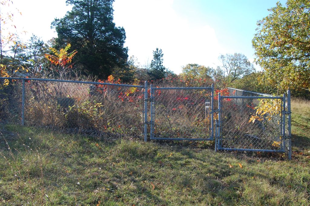
| Description | : | " HIGH CEMETERY " around Sector, WV. From Romney take Rt. 50 West out of town. Turn South on 220/28 at the " T " , at Junction. Go Approx. 3 miles. Turn Left on 220/10 ( a rough dirt road ). Go approx. 3 miles. The Cemetery is on a Grassy Knoll on the Right Side (West Side) of 220/10. About 3/10 th. mile before 220/10 hits 8/3. It had in the Winter 2008 a nice Chain Link Fence that was clearly visable approx. 100 ft. or so above 220/10. The cemetery was well protected from animal damage. # Going South you... Read More |
frequently asked questions (FAQ):
-
Where is High Cemetery?
High Cemetery is located at Sector, Hampshire County ,West Virginia ,USA.
-
High Cemetery cemetery's updated grave count on graveviews.com?
28 memorials
-
Where are the coordinates of the High Cemetery?
Latitude: 39.2517730
Longitude: -78.8857090
Nearby Cemetories:
1. McGee Family Cemetery
Purgitsville, Hampshire County, USA
Coordinate: 39.2463700, -78.9211100
2. Purgitt - High Cemetery
Purgitsville, Hampshire County, USA
Coordinate: 39.2398600, -78.9240300
3. Hartman-Leatherman Cemetery
Purgitsville, Hampshire County, USA
Coordinate: 39.2272400, -78.9125100
4. Kelley Cemetery
Rada, Hampshire County, USA
Coordinate: 39.2715090, -78.9235170
5. Poorhouse Cemetery
Romney, Hampshire County, USA
Coordinate: 39.2271000, -78.8524400
6. Mount Olive United Methodist Church Cemetery
Purgitsville, Hampshire County, USA
Coordinate: 39.2871260, -78.8970630
7. Agnew Family Cemetery
Rada, Hampshire County, USA
Coordinate: 39.2738350, -78.9234480
8. Elijah High Cemetery
Purgitsville, Hampshire County, USA
Coordinate: 39.2882996, -78.8921967
9. Saint Lukes Cemetery
Romney, Hampshire County, USA
Coordinate: 39.2192300, -78.8529200
10. John High Cemetery
Junction, Hampshire County, USA
Coordinate: 39.2938140, -78.8832230
11. Old Pine Church Cemetery
Purgitsville, Hampshire County, USA
Coordinate: 39.2146988, -78.9261017
12. Button High
Purgitsville, Hampshire County, USA
Coordinate: 39.2122000, -78.9238000
13. Pancake Cemetery
Romney, Hampshire County, USA
Coordinate: 39.2656170, -78.8133930
14. Feller Family Cemetery
Hampshire County, USA
Coordinate: 39.1929870, -78.8719305
15. Rogers Cemetery
Old Fields, Hardy County, USA
Coordinate: 39.2016200, -78.9322900
16. Fout Cemetery
Old Fields, Hardy County, USA
Coordinate: 39.1973600, -78.9332500
17. Sloan - Ludwick Cemetery
Junction, Hampshire County, USA
Coordinate: 39.3143500, -78.8479500
18. Sloan Cemetery
Burlington, Mineral County, USA
Coordinate: 39.3091380, -78.9401280
19. Arnold Cemetery
Junction, Hampshire County, USA
Coordinate: 39.3235900, -78.8751500
20. Mountain View Church Cemetery
Purgitsville, Hampshire County, USA
Coordinate: 39.2180680, -78.9683160
21. Crites Cemetery
Old Fields, Hardy County, USA
Coordinate: 39.2013300, -78.9533100
22. Shoemaker Cemetery
Burlington, Mineral County, USA
Coordinate: 39.3288260, -78.8835580
23. Parker Cemetery
Junction, Hampshire County, USA
Coordinate: 39.3168360, -78.8258110
24. Green Hill Cemetery
Hardy County, USA
Coordinate: 39.1986008, -78.9693985