
| Memorials | : | 0 |
| Location | : | Junction, Hampshire County, USA |
| Coordinate | : | 39.2938140, -78.8832230 |
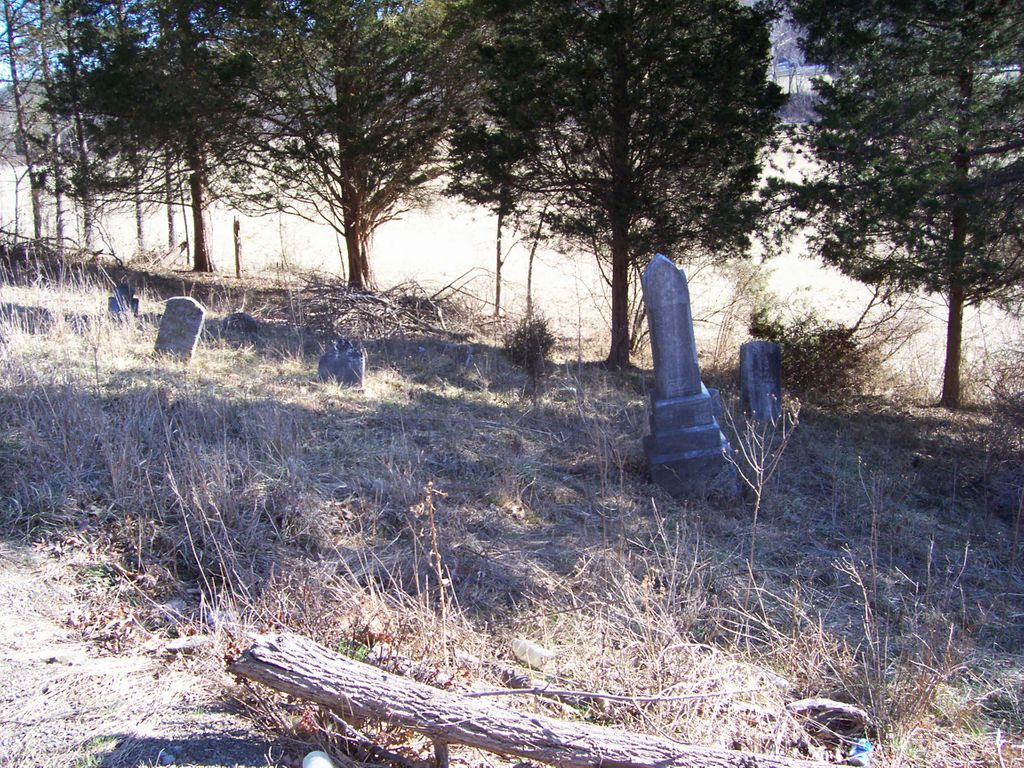
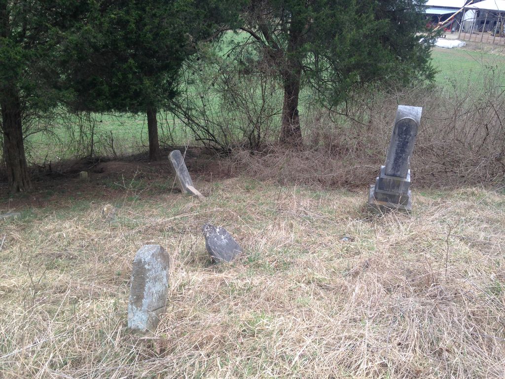
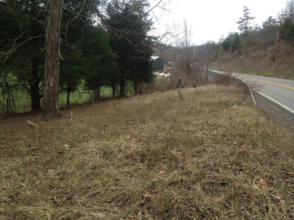
| Description | : | John High Cemetery is located 1.8 miles from the Junction going south on highway Route 220. If you come to Elijah High Cemetery you have passed the John High cemetery. It is beside highway Route 220 on the left side. It might be 10 to 15 feet from the highway. Hampshire County, West Virginia. |
frequently asked questions (FAQ):
-
Where is John High Cemetery?
John High Cemetery is located at Junction, Hampshire County ,West Virginia ,USA.
-
John High Cemetery cemetery's updated grave count on graveviews.com?
0 memorials
-
Where are the coordinates of the John High Cemetery?
Latitude: 39.2938140
Longitude: -78.8832230
Nearby Cemetories:
1. Elijah High Cemetery
Purgitsville, Hampshire County, USA
Coordinate: 39.2882996, -78.8921967
2. Mount Olive United Methodist Church Cemetery
Purgitsville, Hampshire County, USA
Coordinate: 39.2871260, -78.8970630
3. Arnold Cemetery
Junction, Hampshire County, USA
Coordinate: 39.3235900, -78.8751500
4. Sloan - Ludwick Cemetery
Junction, Hampshire County, USA
Coordinate: 39.3143500, -78.8479500
5. Shoemaker Cemetery
Burlington, Mineral County, USA
Coordinate: 39.3288260, -78.8835580
6. Agnew Family Cemetery
Rada, Hampshire County, USA
Coordinate: 39.2738350, -78.9234480
7. Kelley Cemetery
Rada, Hampshire County, USA
Coordinate: 39.2715090, -78.9235170
8. High Cemetery
Sector, Hampshire County, USA
Coordinate: 39.2517730, -78.8857090
9. Sloan Cemetery
Burlington, Mineral County, USA
Coordinate: 39.3091380, -78.9401280
10. Parker Cemetery
Junction, Hampshire County, USA
Coordinate: 39.3168360, -78.8258110
11. Burlington Cemetery
Burlington, Mineral County, USA
Coordinate: 39.3356780, -78.9204500
12. Beaver Run Cemetery
Burlington, Mineral County, USA
Coordinate: 39.3467712, -78.8677979
13. McGee Family Cemetery
Purgitsville, Hampshire County, USA
Coordinate: 39.2463700, -78.9211100
14. Parker Family Cemetery
Mechanicsburg, Hampshire County, USA
Coordinate: 39.3273390, -78.8230560
15. Pancake Cemetery
Romney, Hampshire County, USA
Coordinate: 39.2656170, -78.8133930
16. Purgitt - High Cemetery
Purgitsville, Hampshire County, USA
Coordinate: 39.2398600, -78.9240300
17. Nicholas Leatherman Cemetery
Burlington, Mineral County, USA
Coordinate: 39.3625720, -78.8912770
18. Hartman-Leatherman Cemetery
Purgitsville, Hampshire County, USA
Coordinate: 39.2272400, -78.9125100
19. Poorhouse Cemetery
Romney, Hampshire County, USA
Coordinate: 39.2271000, -78.8524400
20. Thrush Cemetery #01
Burlington, Mineral County, USA
Coordinate: 39.3588200, -78.9289400
21. Mill Run Cemetery
Romney, Hampshire County, USA
Coordinate: 39.2902600, -78.7842700
22. Saint Lukes Cemetery
Romney, Hampshire County, USA
Coordinate: 39.2192300, -78.8529200
23. Old Stone Chapel Cemetery
Mineral County, USA
Coordinate: 39.3404300, -78.9731200
24. Old Pine Church Cemetery
Purgitsville, Hampshire County, USA
Coordinate: 39.2146988, -78.9261017