
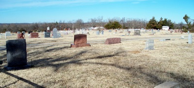
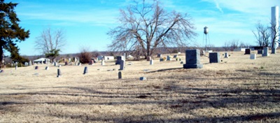
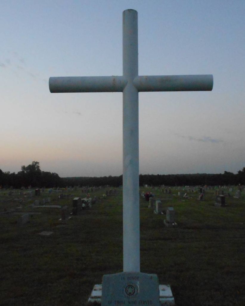
| Memorials | : | 20 |
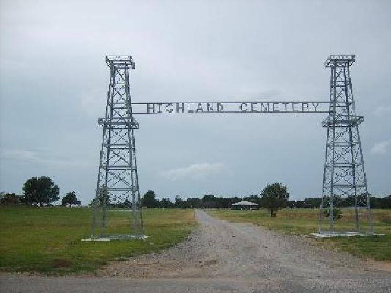
| Location | : | Oilton, Creek County, USA |
| Coordinate | : | 36.0844002, -96.5952988 |
frequently asked questions (FAQ):
-
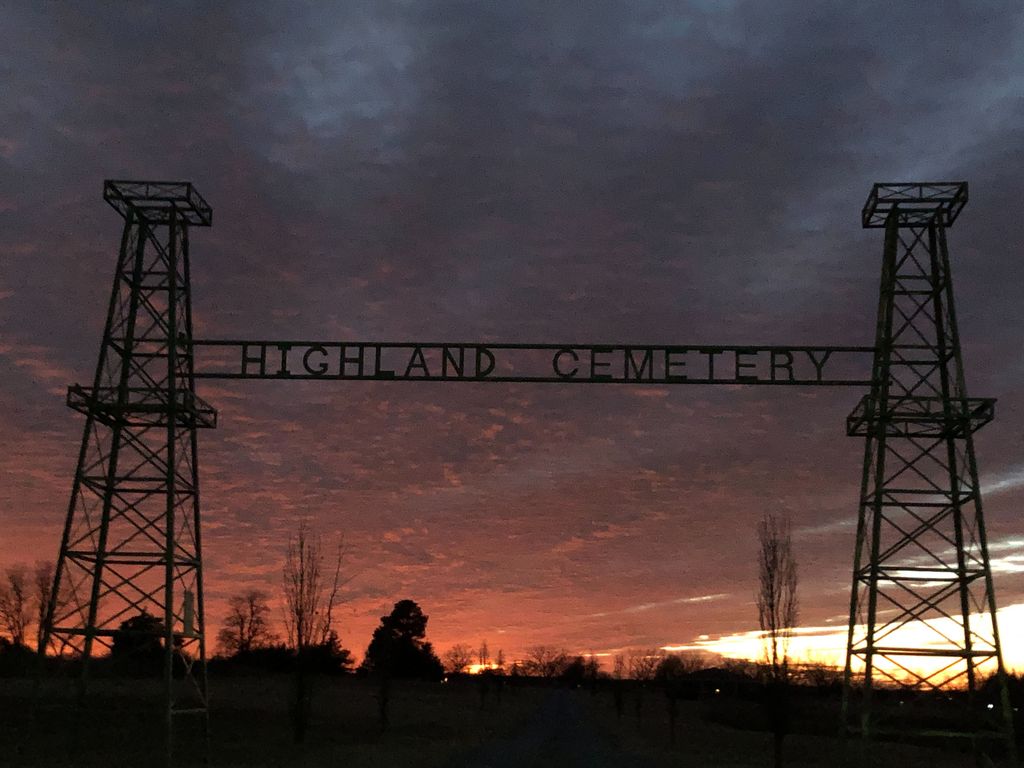
Where is Highland Cemetery?
Highland Cemetery is located at Oilton, Creek County ,Oklahoma ,USA.
-
Highland Cemetery cemetery's updated grave count on graveviews.com?
19 memorials
-
Where are the coordinates of the Highland Cemetery?
Latitude: 36.0844002
Longitude: -96.5952988
Nearby Cemetories:
1. Brooks Cemetery
Silver City, Creek County, USA
Coordinate: 36.0971985, -96.5299988
2. Greenwood Cemetery
Yale, Payne County, USA
Coordinate: 36.0443993, -96.6613998
3. Underwood Cemetery
Yale, Payne County, USA
Coordinate: 36.1086006, -96.6778030
4. Drumright North Cemetery
Drumright, Creek County, USA
Coordinate: 36.0022011, -96.6093979
5. Lough Gravesite
Drumright, Creek County, USA
Coordinate: 35.9893100, -96.5980420
6. New Friendship Cemetery
Silver City, Creek County, USA
Coordinate: 36.0905991, -96.4764023
7. Diamond G Cemetery
Jennings, Pawnee County, USA
Coordinate: 36.1752566, -96.6405065
8. Jennings Cemetery
Jennings, Pawnee County, USA
Coordinate: 36.1878014, -96.5905991
9. Lawson Cemetery
Yale, Payne County, USA
Coordinate: 36.1525002, -96.6941986
10. Sunrise Cemetery
Pawnee County, USA
Coordinate: 36.2030000, -96.6336000
11. Euchee Valley Memorial Park
Indian Township, Payne County, USA
Coordinate: 35.9839020, -96.6961060
12. South Side Cemetery
Drumright, Creek County, USA
Coordinate: 35.9482994, -96.6072006
13. Henry Hunter Cemetery
Cushing, Payne County, USA
Coordinate: 35.9667015, -96.6864014
14. Silver Star Cemetery
Cushing, Payne County, USA
Coordinate: 35.9852982, -96.7305984
15. Harrell Cemetery
Cushing, Payne County, USA
Coordinate: 35.9706001, -96.7138977
16. Bethany Cemetery
Hallett, Pawnee County, USA
Coordinate: 36.2317009, -96.5522003
17. New Zion Cemetery
Cushing, Payne County, USA
Coordinate: 36.0227290, -96.7680020
18. Fairlawn Cemetery
Cushing, Payne County, USA
Coordinate: 36.0197740, -96.7678360
19. Terlton Cemetery
Terlton, Pawnee County, USA
Coordinate: 36.2022018, -96.4717026
20. IOOF Cemetery
Maramec, Pawnee County, USA
Coordinate: 36.2321000, -96.6866500
21. Oak Hill Cemetery
Mannford, Creek County, USA
Coordinate: 36.1420364, -96.3981552
22. Shamrock Cemetery
Shamrock, Creek County, USA
Coordinate: 35.9150009, -96.5905991
23. Sub-Station Cemetery
Freedom Hill, Creek County, USA
Coordinate: 36.0063400, -96.4064026
24. Mount Pleasant Cemetery
Pawnee County, USA
Coordinate: 36.2031000, -96.7605000