
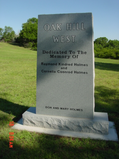
| Memorials | : | 12 |
| Location | : | Mannford, Creek County, USA |
| Phone | : | (918) 865-3289 |
| Coordinate | : | 36.1420364, -96.3981552 |
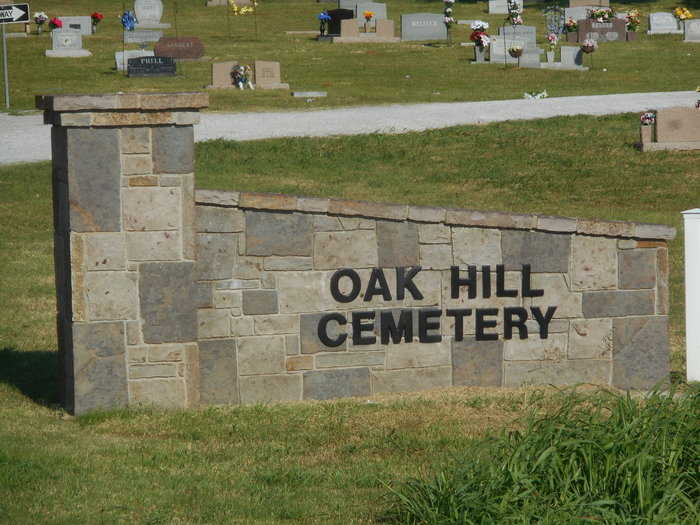
| Description | : | Located North of Hwy 51 & 48 Intersection on East side of Hwy 48 It was known as Basin Cemetery in the early 1900's. The section known as Basin is on the east side of the roadway. |
frequently asked questions (FAQ):
-
Where is Oak Hill Cemetery?
Oak Hill Cemetery is located at Mannford, Creek County ,Oklahoma ,USA.
-
Oak Hill Cemetery cemetery's updated grave count on graveviews.com?
11 memorials
-
Where are the coordinates of the Oak Hill Cemetery?
Latitude: 36.1420364
Longitude: -96.3981552
Nearby Cemetories:
1. Russell Family Cemetery
Pawnee County, USA
Coordinate: 36.1878310, -96.4017170
2. East Basin Cemetery
Pawnee County, USA
Coordinate: 36.1657982, -96.3364029
3. New Friendship Cemetery
Silver City, Creek County, USA
Coordinate: 36.0905991, -96.4764023
4. Terlton Cemetery
Terlton, Pawnee County, USA
Coordinate: 36.2022018, -96.4717026
5. Dixie Cemetery
Westport, Pawnee County, USA
Coordinate: 36.2383003, -96.3728027
6. Sinnett Memorial Cemetery
Oak Grove, Pawnee County, USA
Coordinate: 36.2085991, -96.3052979
7. Brooks Cemetery
Silver City, Creek County, USA
Coordinate: 36.0971985, -96.5299988
8. Leroy Cemetery
Pawnee County, USA
Coordinate: 36.2083015, -96.2596970
9. Sub-Station Cemetery
Freedom Hill, Creek County, USA
Coordinate: 36.0063400, -96.4064026
10. Prairie View Cemetery
New Prue, Osage County, USA
Coordinate: 36.2453003, -96.2703018
11. Rock Creek Cemetery
Sand Springs, Tulsa County, USA
Coordinate: 36.0965500, -96.2263300
12. Gooden Indian Cemetery
Sand Springs, Tulsa County, USA
Coordinate: 36.1517900, -96.2122500
13. Bethany Cemetery
Hallett, Pawnee County, USA
Coordinate: 36.2317009, -96.5522003
14. Dixie and Bear Creek Cemeteries
Cleveland, Pawnee County, USA
Coordinate: 36.2930984, -96.4527969
15. Osage Cemetery
Osage, Osage County, USA
Coordinate: 36.2999992, -96.4085999
16. Jennings Cemetery
Jennings, Pawnee County, USA
Coordinate: 36.1878014, -96.5905991
17. Hinson Cemetery
Sand Springs, Osage County, USA
Coordinate: 36.1838186, -96.1961881
18. Highland Cemetery
Oilton, Creek County, USA
Coordinate: 36.0844002, -96.5952988
19. Tiger Bone Cemetery
Sand Springs, Tulsa County, USA
Coordinate: 36.0756650, -96.1833940
20. Woodland Cemetery
Cleveland, Pawnee County, USA
Coordinate: 36.3196983, -96.4732971
21. Brown Family Cemetery
Creek County, USA
Coordinate: 35.9597264, -96.3072045
22. Boston Pool Cemetery
Osage County, USA
Coordinate: 36.3083000, -96.5322037
23. Diamond G Cemetery
Jennings, Pawnee County, USA
Coordinate: 36.1752566, -96.6405065
24. Sunrise Cemetery
Pawnee County, USA
Coordinate: 36.2030000, -96.6336000