
| Memorials | : | 660 |
| Location | : | Osterville, Barnstable County, USA |
| Coordinate | : | 41.6316700, -70.3787100 |
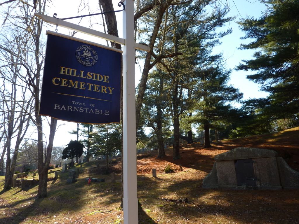
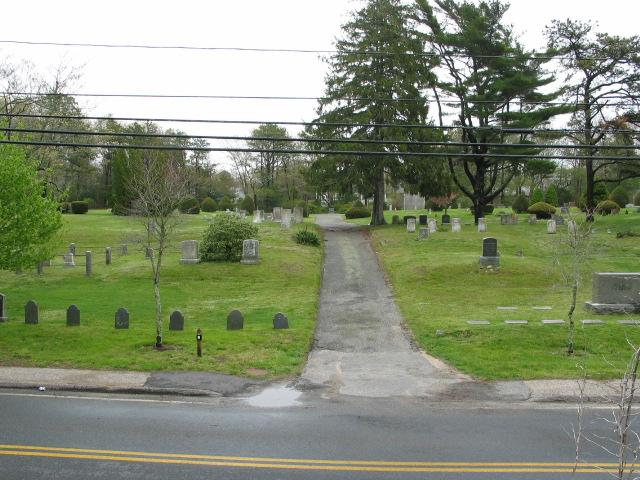
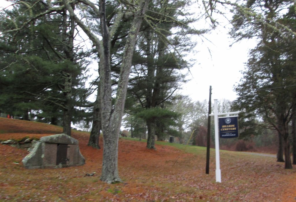
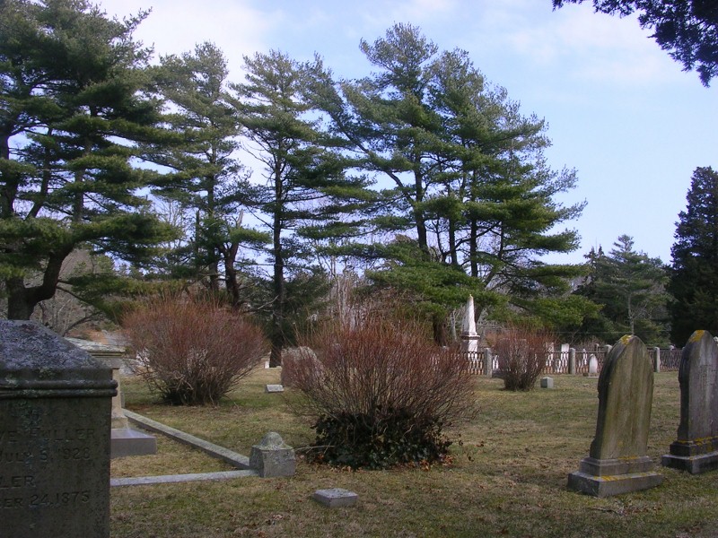
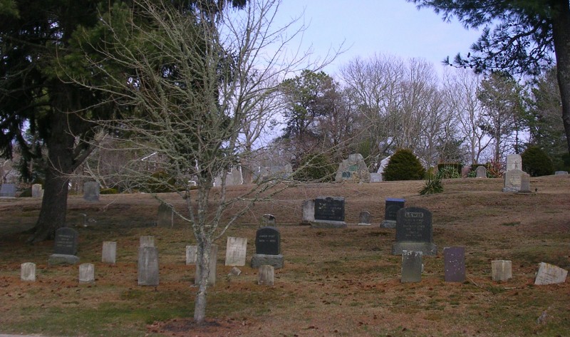
| Description | : | This cemetery is owned by the town of Barnstable. There are no burial sites available. The oldest stone is dated 1750 and marks the grave of Robert Claghorn. The cemetery is listed as parcels 142058 and 142103 of the Barnstable Assessors Property Maps. The Massachusetts Historical Commission refers to this cemetery in MACRIS as BRN814. |
frequently asked questions (FAQ):
-
Where is Hillside Cemetery?
Hillside Cemetery is located at Old Mill Road Osterville, Barnstable County ,Massachusetts ,USA.
-
Hillside Cemetery cemetery's updated grave count on graveviews.com?
145 memorials
-
Where are the coordinates of the Hillside Cemetery?
Latitude: 41.6316700
Longitude: -70.3787100
Nearby Cemetories:
1. Saint Peters Episcopal Church Memorial Garden
Barnstable, Barnstable County, USA
Coordinate: 41.6209700, -70.3735800
2. Congregational Cemetery
Barnstable, Barnstable County, USA
Coordinate: 41.6459007, -70.3461990
3. Beechwood Cemetery
Centerville, Barnstable County, USA
Coordinate: 41.6561012, -70.3491974
4. Centerville Ancient Cemetery
Centerville, Barnstable County, USA
Coordinate: 41.6547012, -70.3429031
5. Marstons Mills Cemetery
Marstons Mills, Barnstable County, USA
Coordinate: 41.6612015, -70.4080963
6. Mosswood Cemetery
Cotuit, Barnstable County, USA
Coordinate: 41.6279984, -70.4303970
7. Saint Francis Xavier Cemetery
Centerville, Barnstable County, USA
Coordinate: 41.6516991, -70.3331985
8. Saint Andrew's By The Sea Columbarium
Hyannis Port, Barnstable County, USA
Coordinate: 41.6306199, -70.3073859
9. Coombs Cemetery
Mashpee, Barnstable County, USA
Coordinate: 41.6417370, -70.4570980
10. Crocker Park Cemetery
Barnstable, Barnstable County, USA
Coordinate: 41.6959000, -70.3780975
11. South Street Cemetery
Hyannis, Barnstable County, USA
Coordinate: 41.6480300, -70.2920500
12. West Parish Burial Ground
West Barnstable, Barnstable County, USA
Coordinate: 41.6984200, -70.3842920
13. Oak Grove Cemetery
Hyannis, Barnstable County, USA
Coordinate: 41.6432991, -70.2889023
14. Oak Neck Cemetery
Hyannis, Barnstable County, USA
Coordinate: 41.6431007, -70.2861023
15. Baptist Church Cemetery
Hyannis, Barnstable County, USA
Coordinate: 41.6519699, -70.2873230
16. Sandy Street Cemetery
Barnstable, Barnstable County, USA
Coordinate: 41.6968994, -70.3401031
17. Mashpee Town Cemetery
Mashpee, Barnstable County, USA
Coordinate: 41.6242981, -70.4787979
18. Saint Patricks Cemetery
Hyannis, Barnstable County, USA
Coordinate: 41.6562996, -70.2835999
19. Universalist Cemetery
Hyannis, Barnstable County, USA
Coordinate: 41.6549100, -70.2822390
20. West Barnstable Cemetery
West Barnstable, Barnstable County, USA
Coordinate: 41.7080994, -70.3728027
21. Lakewood Cemetery
Mashpee, Barnstable County, USA
Coordinate: 41.6530991, -70.4783020
22. Boardley Road Cemetery
Sandwich, Barnstable County, USA
Coordinate: 41.6870003, -70.4559021
23. Percival Cemetery
Sandwich, Barnstable County, USA
Coordinate: 41.6883011, -70.4557037
24. Wakeby Cemetery
Sandwich, Barnstable County, USA
Coordinate: 41.6725500, -70.4723100