
| Memorials | : | 25 |
| Location | : | Barnstable, Barnstable County, USA |
| Coordinate | : | 41.6959000, -70.3780975 |
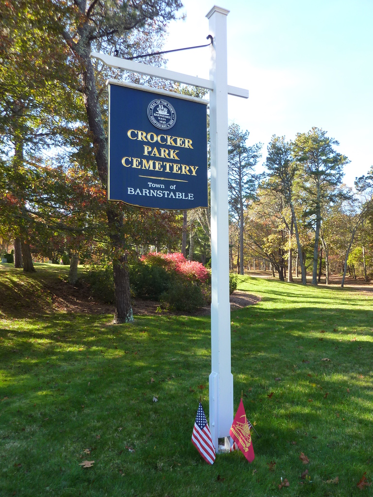
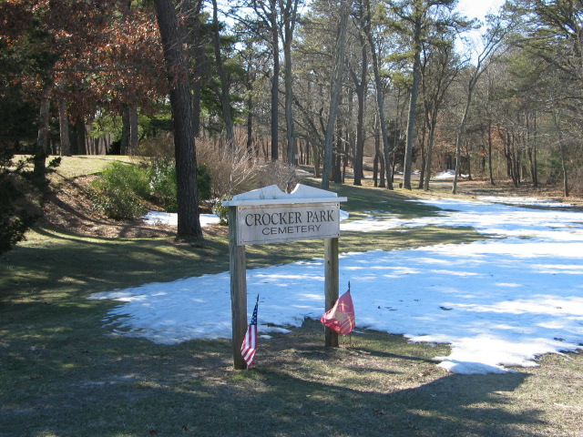
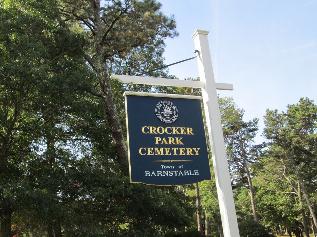
| Description | : | This is a town-owned cemetery. Despite this cemetery being bisected by Sandy Street, this is NOT the Sandy Street Cemetery. The oldest stone is dated 1947 and marks the grave of Richard Mathewson. The Barnstable Assessors include this cemetery on Map 216 Parcel 036. The Massachusetts Historical Commission does not refer to this cemetery in MACRIS. |
frequently asked questions (FAQ):
-
Where is Crocker Park Cemetery?
Crocker Park Cemetery is located at Pine Street at Sandy Street Barnstable, Barnstable County ,Massachusetts ,USA.
-
Crocker Park Cemetery cemetery's updated grave count on graveviews.com?
24 memorials
-
Where are the coordinates of the Crocker Park Cemetery?
Latitude: 41.6959000
Longitude: -70.3780975
Nearby Cemetories:
1. West Parish Burial Ground
West Barnstable, Barnstable County, USA
Coordinate: 41.6984200, -70.3842920
2. West Barnstable Cemetery
West Barnstable, Barnstable County, USA
Coordinate: 41.7080994, -70.3728027
3. Sandy Street Cemetery
Barnstable, Barnstable County, USA
Coordinate: 41.6968994, -70.3401031
4. Marstons Mills Cemetery
Marstons Mills, Barnstable County, USA
Coordinate: 41.6612015, -70.4080963
5. Beechwood Cemetery
Centerville, Barnstable County, USA
Coordinate: 41.6561012, -70.3491974
6. Lothrop Hill Cemetery
Barnstable, Barnstable County, USA
Coordinate: 41.7028008, -70.3174973
7. Centerville Ancient Cemetery
Centerville, Barnstable County, USA
Coordinate: 41.6547012, -70.3429031
8. Saint Marys Church Memorial Gardens
Barnstable, Barnstable County, USA
Coordinate: 41.7036000, -70.3090000
9. Congregational Cemetery
Barnstable, Barnstable County, USA
Coordinate: 41.6459007, -70.3461990
10. Saint Francis Xavier Cemetery
Centerville, Barnstable County, USA
Coordinate: 41.6516991, -70.3331985
11. Percival Cemetery
Sandwich, Barnstable County, USA
Coordinate: 41.6883011, -70.4557037
12. Boardley Road Cemetery
Sandwich, Barnstable County, USA
Coordinate: 41.6870003, -70.4559021
13. Cobb's Hill Cemetery East and West
Barnstable, Barnstable County, USA
Coordinate: 41.7008018, -70.2994003
14. Hillside Cemetery
Osterville, Barnstable County, USA
Coordinate: 41.6316700, -70.3787100
15. Cedarville Cemetery
East Sandwich, Barnstable County, USA
Coordinate: 41.7397804, -70.4428864
16. Cummaquid Cemetery
Cummaquid, Barnstable County, USA
Coordinate: 41.6974700, -70.2804850
17. Wakeby Cemetery
Sandwich, Barnstable County, USA
Coordinate: 41.6725500, -70.4723100
18. Saint Peters Episcopal Church Memorial Garden
Barnstable, Barnstable County, USA
Coordinate: 41.6209700, -70.3735800
19. Iyanough Gravesite
Cummaquid, Barnstable County, USA
Coordinate: 41.7014900, -70.2754100
20. Mosswood Cemetery
Cotuit, Barnstable County, USA
Coordinate: 41.6279984, -70.4303970
21. Francis Family Cemetery
Mashpee, Barnstable County, USA
Coordinate: 41.6807900, -70.4816600
22. Quaker Meeting House Cemetery
East Sandwich, Barnstable County, USA
Coordinate: 41.7469673, -70.4591064
23. Old Quaker Meeting House Cemetery at Spring Hill
Sandwich, Barnstable County, USA
Coordinate: 41.7463100, -70.4613060
24. Coombs Cemetery
Mashpee, Barnstable County, USA
Coordinate: 41.6417370, -70.4570980