
| Memorials | : | 195 |
| Location | : | Barnstable, Barnstable County, USA |
| Coordinate | : | 41.6968994, -70.3401031 |
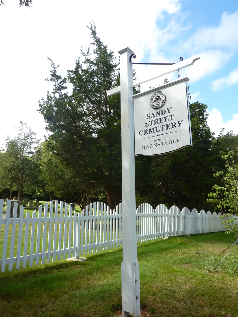
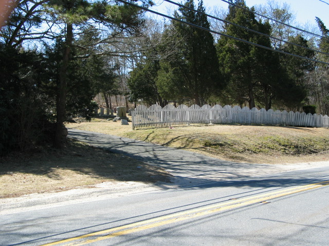
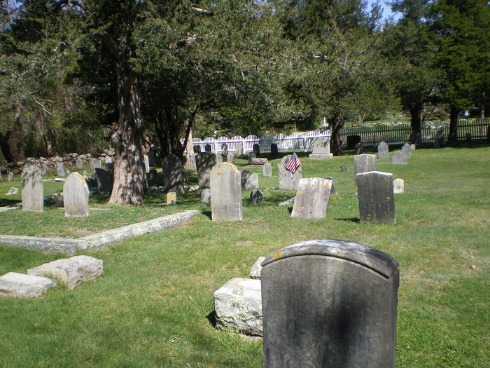
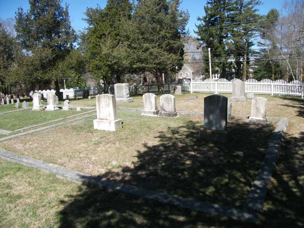
| Description | : | This is a town-owned cemetery. Despite the name, this cemetery is not located anywhere near Sandy Street (unlike Crocker Park Cemetery, which is bisected by Sandy Street). The oldest stone is dated 1796 and marks the grave of Jonathan Crocker. The Barnstable Assessors include this cemetery on Map 153 Parcel 002. The Massachusetts Historical Commission refers to this cemetery in MACRIS as BRN815. |
frequently asked questions (FAQ):
-
Where is Sandy Street Cemetery?
Sandy Street Cemetery is located at Rt. 6A near John Maki Rd. Barnstable, Barnstable County ,Massachusetts ,USA.
-
Sandy Street Cemetery cemetery's updated grave count on graveviews.com?
195 memorials
-
Where are the coordinates of the Sandy Street Cemetery?
Latitude: 41.6968994
Longitude: -70.3401031
Nearby Cemetories:
1. Lothrop Hill Cemetery
Barnstable, Barnstable County, USA
Coordinate: 41.7028008, -70.3174973
2. Saint Marys Church Memorial Gardens
Barnstable, Barnstable County, USA
Coordinate: 41.7036000, -70.3090000
3. West Barnstable Cemetery
West Barnstable, Barnstable County, USA
Coordinate: 41.7080994, -70.3728027
4. Crocker Park Cemetery
Barnstable, Barnstable County, USA
Coordinate: 41.6959000, -70.3780975
5. Cobb's Hill Cemetery East and West
Barnstable, Barnstable County, USA
Coordinate: 41.7008018, -70.2994003
6. West Parish Burial Ground
West Barnstable, Barnstable County, USA
Coordinate: 41.6984200, -70.3842920
7. Beechwood Cemetery
Centerville, Barnstable County, USA
Coordinate: 41.6561012, -70.3491974
8. Centerville Ancient Cemetery
Centerville, Barnstable County, USA
Coordinate: 41.6547012, -70.3429031
9. Cummaquid Cemetery
Cummaquid, Barnstable County, USA
Coordinate: 41.6974700, -70.2804850
10. Saint Francis Xavier Cemetery
Centerville, Barnstable County, USA
Coordinate: 41.6516991, -70.3331985
11. Iyanough Gravesite
Cummaquid, Barnstable County, USA
Coordinate: 41.7014900, -70.2754100
12. Congregational Cemetery
Barnstable, Barnstable County, USA
Coordinate: 41.6459007, -70.3461990
13. Saint Patricks Cemetery
Hyannis, Barnstable County, USA
Coordinate: 41.6562996, -70.2835999
14. Baptist Church Cemetery
Hyannis, Barnstable County, USA
Coordinate: 41.6519699, -70.2873230
15. Universalist Cemetery
Hyannis, Barnstable County, USA
Coordinate: 41.6549100, -70.2822390
16. South Street Cemetery
Hyannis, Barnstable County, USA
Coordinate: 41.6480300, -70.2920500
17. Marstons Mills Cemetery
Marstons Mills, Barnstable County, USA
Coordinate: 41.6612015, -70.4080963
18. Oak Grove Cemetery
Hyannis, Barnstable County, USA
Coordinate: 41.6432991, -70.2889023
19. Oak Neck Cemetery
Hyannis, Barnstable County, USA
Coordinate: 41.6431007, -70.2861023
20. Woodside Cemetery
Yarmouth Port, Barnstable County, USA
Coordinate: 41.7000008, -70.2472000
21. Saint Andrew's By The Sea Columbarium
Hyannis Port, Barnstable County, USA
Coordinate: 41.6306199, -70.3073859
22. Hillside Cemetery
Osterville, Barnstable County, USA
Coordinate: 41.6316700, -70.3787100
23. Chandler Gray Cemetery
Yarmouth, Barnstable County, USA
Coordinate: 41.6693993, -70.2509995
24. Thacher Property Burial Ground
Yarmouth Port, Barnstable County, USA
Coordinate: 41.7084800, -70.2438500