
| Memorials | : | 0 |
| Location | : | Cypress Mill, Blanco County, USA |
| Coordinate | : | 30.3709630, -98.2212580 |
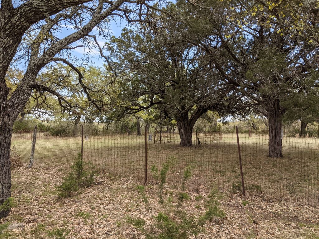
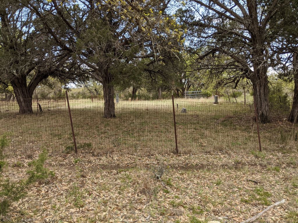
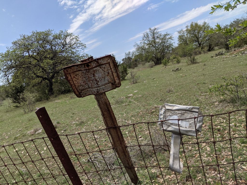
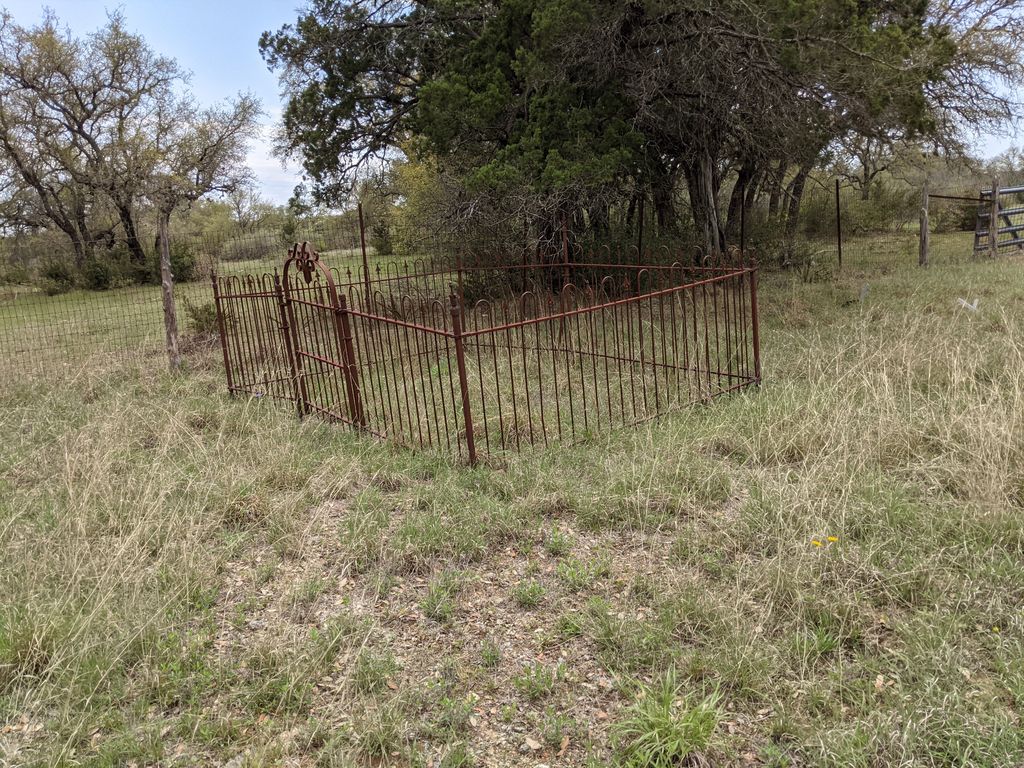
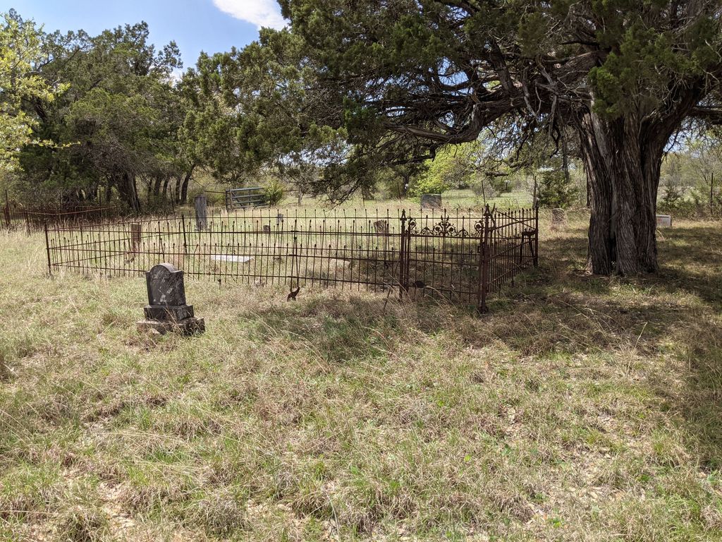
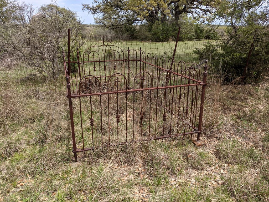
| Description | : | Location: On 962 East. 2 miles from junction of 962 and 962 Spur. On right, on top of hill, about 100 yards from road. Cannot be seen from road. Gate with road. On second fence a sign "Shooting Resort" can be seen from road. |
frequently asked questions (FAQ):
-
Where is Holdman Cemetery?
Holdman Cemetery is located at Cypress Mill, Blanco County ,Texas ,USA.
-
Holdman Cemetery cemetery's updated grave count on graveviews.com?
0 memorials
-
Where are the coordinates of the Holdman Cemetery?
Latitude: 30.3709630
Longitude: -98.2212580
Nearby Cemetories:
1. Cypress Mill Cemetery
Cypress Mill, Blanco County, USA
Coordinate: 30.3774200, -98.2477300
2. Goeth-Wenmohs Family Cemetery
Blanco County, USA
Coordinate: 30.3996890, -98.2502230
3. Ross Family Cemetery
Round Mountain, Blanco County, USA
Coordinate: 30.4112833, -98.1477167
4. Fowler Cemetery
Spicewood, Burnet County, USA
Coordinate: 30.4713993, -98.1883011
5. W. P. Stanley Cemetery
Johnson City, Blanco County, USA
Coordinate: 30.2599570, -98.2593590
6. Round Mountain Cemetery
Round Mountain, Blanco County, USA
Coordinate: 30.4381008, -98.3506012
7. Rockvale Cemetery
Spicewood, Burnet County, USA
Coordinate: 30.5016994, -98.1968994
8. Holloway Cemetery
Burnet County, USA
Coordinate: 30.4932995, -98.1577988
9. Haynie Flat Cemetery
Spicewood, Burnet County, USA
Coordinate: 30.4631004, -98.1025009
10. Burnam-Smithart Cemetery
Marble Falls, Burnet County, USA
Coordinate: 30.5182991, -98.2260971
11. Dead Man's Hole
Marble Falls, Burnet County, USA
Coordinate: 30.5284000, -98.2649000
12. Lewis Family Cemetery
Burnet County, USA
Coordinate: 30.5249996, -98.1361008
13. Henly Cemetery
Blanco County, USA
Coordinate: 30.1968994, -98.2386017
14. Richter Cemetery
Marble Falls, Burnet County, USA
Coordinate: 30.5471992, -98.2397003
15. Harmon Cemetery
Johnson City, Blanco County, USA
Coordinate: 30.2641070, -98.3950670
16. Johnson City Masonic Cemetery
Johnson City, Blanco County, USA
Coordinate: 30.2835280, -98.4104270
17. Horseshoe Bay Mausoleum
Marble Falls, Burnet County, USA
Coordinate: 30.5306500, -98.3520500
18. Miller Creek Cemetery
Blanco, Blanco County, USA
Coordinate: 30.1958008, -98.3317032
19. Pleasant Valley Cemetery
Marble Falls, Burnet County, USA
Coordinate: 30.5699997, -98.2422028
20. Smithwick Cemetery
Smithwick, Burnet County, USA
Coordinate: 30.5641500, -98.1415130
21. Pangle Cemetery
Burnet County, USA
Coordinate: 30.5781002, -98.2118988
22. Marble Falls City Cemetery
Marble Falls, Burnet County, USA
Coordinate: 30.5716286, -98.2927475
23. Fuchs Cemetery
Cottonwood Shores, Burnet County, USA
Coordinate: 30.5606900, -98.3262420
24. Richland Cemetery
Smithwick, Burnet County, USA
Coordinate: 30.5800000, -98.1927700