| Memorials | : | 0 |
| Location | : | Valatie, Columbia County, USA |
| Coordinate | : | 42.3830833, -73.6391296 |
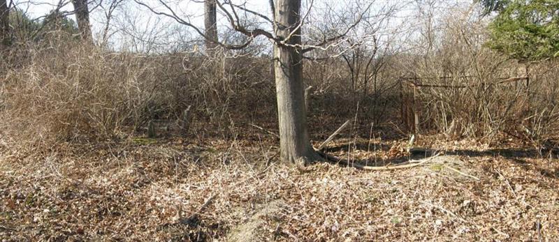
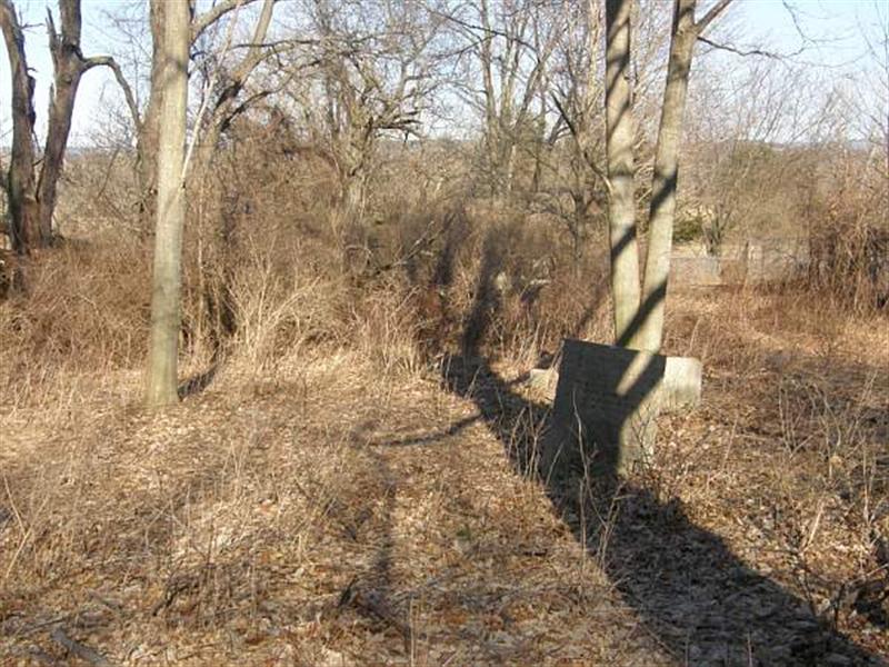
| Description | : | On the east side of Rt 203 between cornfield on north and business on south. It is hard to see from a car due to the cemetery being below the road and a guard rail blocking the view. Update: As of 2012 the cemetery has been cleaned by the adjoining business and is now all grass. Great job! |
frequently asked questions (FAQ):
-
Where is Holmes-Crocker-Gardinier Burial Plot?
Holmes-Crocker-Gardinier Burial Plot is located at Rt 203 Valatie, Columbia County ,New York ,USA.
-
Holmes-Crocker-Gardinier Burial Plot cemetery's updated grave count on graveviews.com?
0 memorials
-
Where are the coordinates of the Holmes-Crocker-Gardinier Burial Plot?
Latitude: 42.3830833
Longitude: -73.6391296
Nearby Cemetories:
1. White Mills Cemetery
Chatham, Columbia County, USA
Coordinate: 42.3674088, -73.6190643
2. Son Railroad Plot
Chatham, Columbia County, USA
Coordinate: 42.3813780, -73.6096200
3. Moses Son Burial Plot
Chatham, Columbia County, USA
Coordinate: 42.3910600, -73.6041000
4. Shufelt Cemetery
Ghent, Columbia County, USA
Coordinate: 42.3535995, -73.6445084
5. Hogeboom Farm Cemetery
Chatham, Columbia County, USA
Coordinate: 42.3701200, -73.6013400
6. Chatham Rural Cemetery
Chatham, Columbia County, USA
Coordinate: 42.3575401, -73.5977936
7. Chatham Center Rural Cemetery
Chatham Center, Columbia County, USA
Coordinate: 42.4229393, -73.6176300
8. Phelps Burial Plot
Chatham Center, Columbia County, USA
Coordinate: 42.4147900, -73.5967400
9. Saint Pauls Episcopal Church Cemetery
Kinderhook, Columbia County, USA
Coordinate: 42.3934500, -73.6983500
10. Woodlawn Cemetery
Valatie, Columbia County, USA
Coordinate: 42.4239006, -73.6680069
11. Prospect Hill Cemetery
Valatie, Columbia County, USA
Coordinate: 42.4156609, -73.6835327
12. Saint John the Baptist Cemetery
Valatie, Columbia County, USA
Coordinate: 42.4128609, -73.6878662
13. African-Americans Cemetery
Kinderhook, Columbia County, USA
Coordinate: 42.3954800, -73.7041900
14. Shufelt Plot
Ghent, Columbia County, USA
Coordinate: 42.3336700, -73.6491500
15. Peter Van Ness Monument
Kinderhook, Columbia County, USA
Coordinate: 42.3706000, -73.7062000
16. Kinderhook Reformed Church Cemetery
Kinderhook, Columbia County, USA
Coordinate: 42.4035606, -73.7033005
17. Saint James Cemetery
Ghent, Columbia County, USA
Coordinate: 42.3339005, -73.6132965
18. Columbia County Plot
Ghent, Columbia County, USA
Coordinate: 42.3314018, -73.6164322
19. Snyder Farm Cemetery
Ghent, Columbia County, USA
Coordinate: 42.3252770, -73.6419440
20. Foland-Kittle Cemetery
West Ghent, Columbia County, USA
Coordinate: 42.3352720, -73.6857950
21. Friends' Meeting House Cemetery
Ghent, Columbia County, USA
Coordinate: 42.3243800, -73.6041600
22. Ghent Union Cemetery
Ghent, Columbia County, USA
Coordinate: 42.3130989, -73.6280975
23. Old Ghent Cemetery
Ghent, Columbia County, USA
Coordinate: 42.3131000, -73.6269100
24. West Ghent Reformed Church Cemetery
West Ghent, Columbia County, USA
Coordinate: 42.3184310, -73.6987140


