
| Memorials | : | 0 |
| Location | : | Kinderhook, Columbia County, USA |
| Coordinate | : | 42.3934500, -73.6983500 |
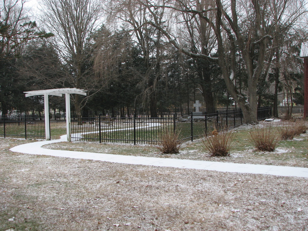
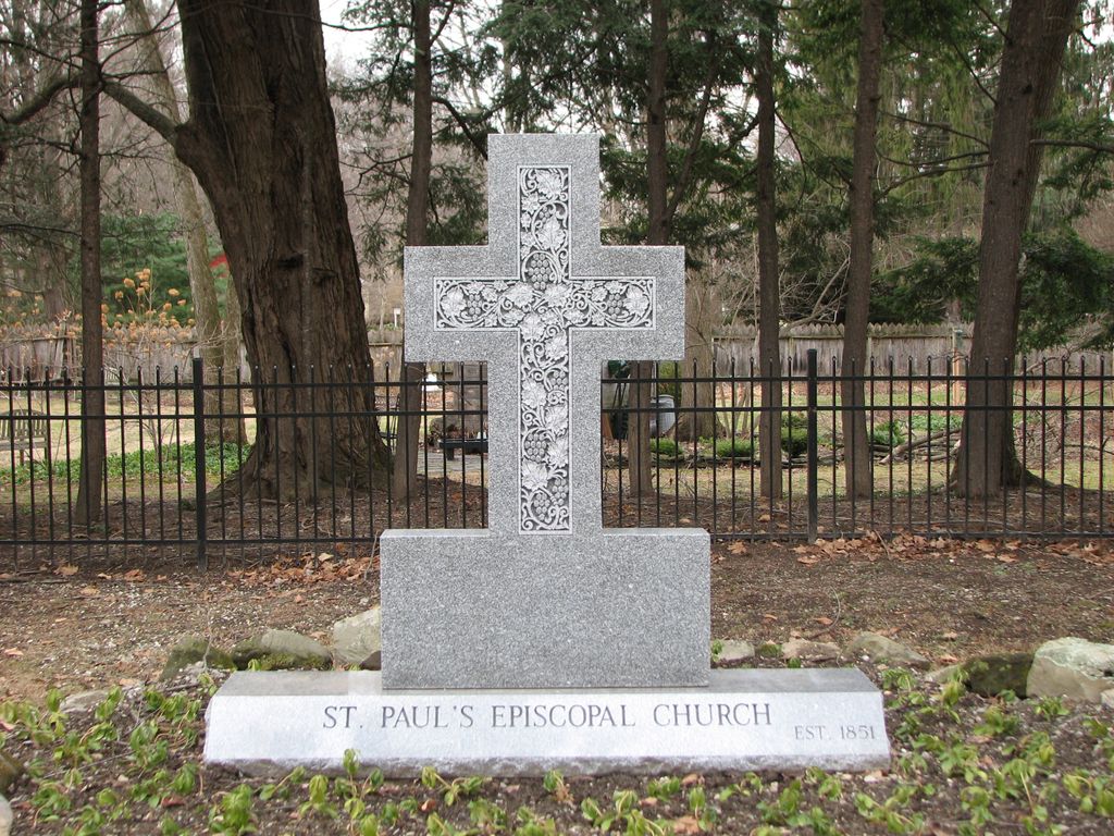
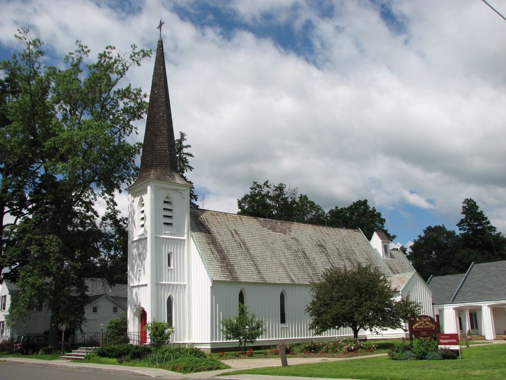
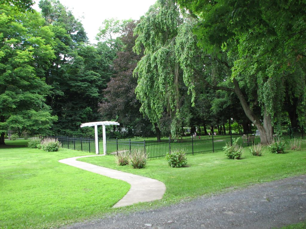
| Description | : | St. Paul's was founded on January 18,1851 with 41 members who made plans for the church building on Chatham Street (Route 9) located just north of the village hall. The church was completed at a cost of about $8,000 and consecrated on June 22, 1852. In 1857, a house and land was purchased for $3,000 on Sylvester Street that now serves as the rectory. In 1868-69, it was decided to dismantle and reconstruct the church on the land on Sylvester Street. In 1964, the Rev. Hohly donated the columbarium with it's landscaping and plantings as a... Read More |
frequently asked questions (FAQ):
-
Where is Saint Pauls Episcopal Church Cemetery?
Saint Pauls Episcopal Church Cemetery is located at 6 Sylvester Street Kinderhook, Columbia County ,New York , 12106USA.
-
Saint Pauls Episcopal Church Cemetery cemetery's updated grave count on graveviews.com?
0 memorials
-
Where are the coordinates of the Saint Pauls Episcopal Church Cemetery?
Latitude: 42.3934500
Longitude: -73.6983500
Nearby Cemetories:
1. African-Americans Cemetery
Kinderhook, Columbia County, USA
Coordinate: 42.3954800, -73.7041900
2. Kinderhook Reformed Church Cemetery
Kinderhook, Columbia County, USA
Coordinate: 42.4035606, -73.7033005
3. Saint John the Baptist Cemetery
Valatie, Columbia County, USA
Coordinate: 42.4128609, -73.6878662
4. Peter Van Ness Monument
Kinderhook, Columbia County, USA
Coordinate: 42.3706000, -73.7062000
5. Prospect Hill Cemetery
Valatie, Columbia County, USA
Coordinate: 42.4156609, -73.6835327
6. Woodlawn Cemetery
Valatie, Columbia County, USA
Coordinate: 42.4239006, -73.6680069
7. Holmes-Crocker-Gardinier Burial Plot
Valatie, Columbia County, USA
Coordinate: 42.3830833, -73.6391296
8. Stuyvesant Falls Cemetery
Stuyvesant Falls, Columbia County, USA
Coordinate: 42.3539009, -73.7416992
9. Van Alen-Clow Plot
Stuyvesant, Columbia County, USA
Coordinate: 42.4099000, -73.7654000
10. Saint Marys Cemetery
Stuyvesant Falls, Columbia County, USA
Coordinate: 42.3504858, -73.7432084
11. Saint Paul Cemetery
Stuyvesant Falls, Columbia County, USA
Coordinate: 42.3502998, -73.7435989
12. Lutheran Cemetery
Stuyvesant, Columbia County, USA
Coordinate: 42.3903809, -73.7727280
13. Pruyn Farm Cemetery
Kinderhook, Columbia County, USA
Coordinate: 42.4484500, -73.7117900
14. Shufelt Cemetery
Ghent, Columbia County, USA
Coordinate: 42.3535995, -73.6445084
15. Saint Joseph's Center Cemetery
Valatie, Columbia County, USA
Coordinate: 42.4520880, -73.7014560
16. Foland-Kittle Cemetery
West Ghent, Columbia County, USA
Coordinate: 42.3352720, -73.6857950
17. Firwood Cemetery
Stuyvesant, Columbia County, USA
Coordinate: 42.3894005, -73.7799988
18. Holy Cross Community Cemetery
Valatie, Columbia County, USA
Coordinate: 42.4537380, -73.7049740
19. Butler Cemetery
Stuyvesant, Columbia County, USA
Coordinate: 42.3867300, -73.7829500
20. White Mills Cemetery
Chatham, Columbia County, USA
Coordinate: 42.3674088, -73.6190643
21. Chatham Center Rural Cemetery
Chatham Center, Columbia County, USA
Coordinate: 42.4229393, -73.6176300
22. Son Railroad Plot
Chatham, Columbia County, USA
Coordinate: 42.3813780, -73.6096200
23. Moses Son Burial Plot
Chatham, Columbia County, USA
Coordinate: 42.3910600, -73.6041000
24. Shufelt Plot
Ghent, Columbia County, USA
Coordinate: 42.3336700, -73.6491500