
| Memorials | : | 0 |
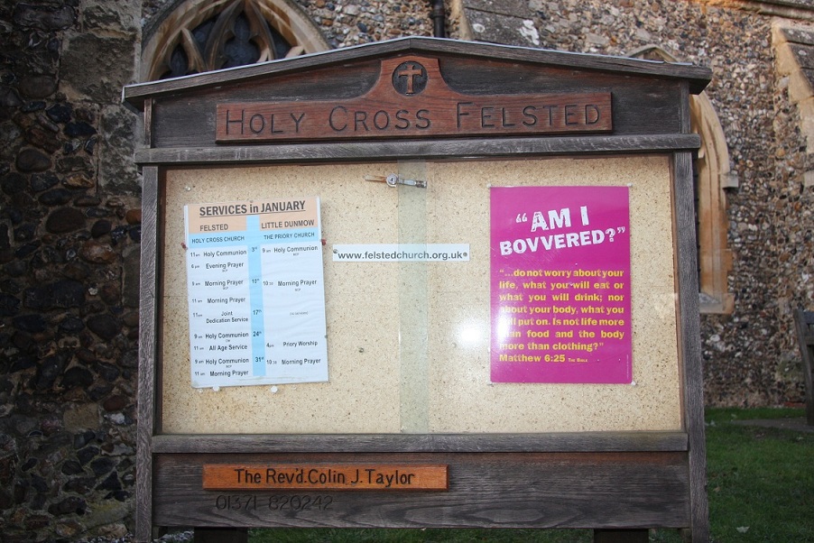
| Location | : | Felsted, Uttlesford District, England |
| Coordinate | : | 51.8569970, 0.4335410 |
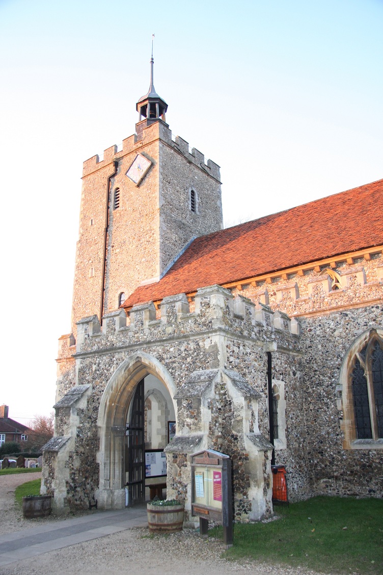
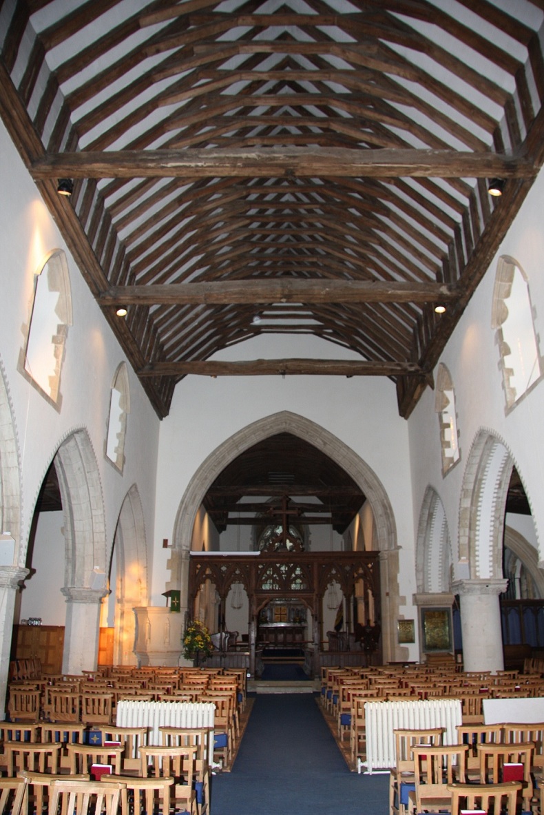
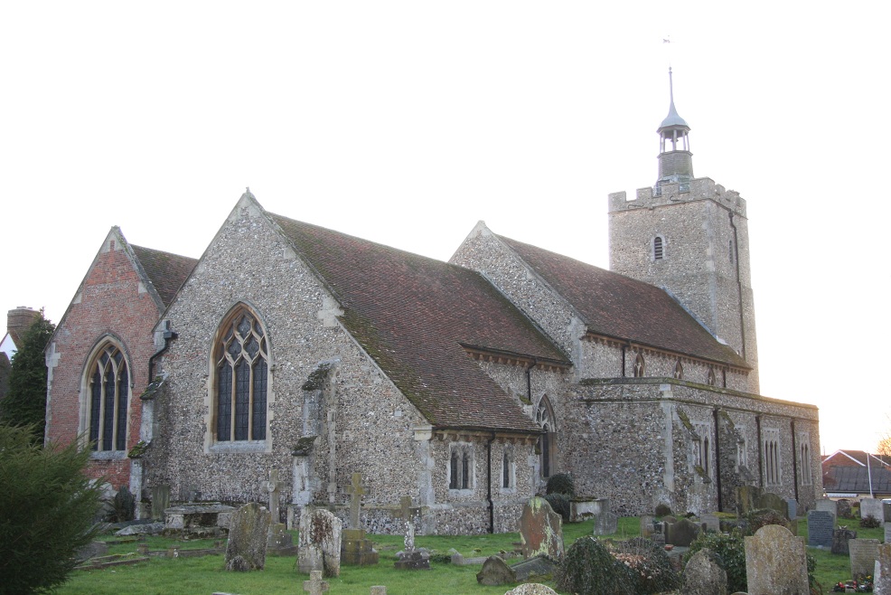
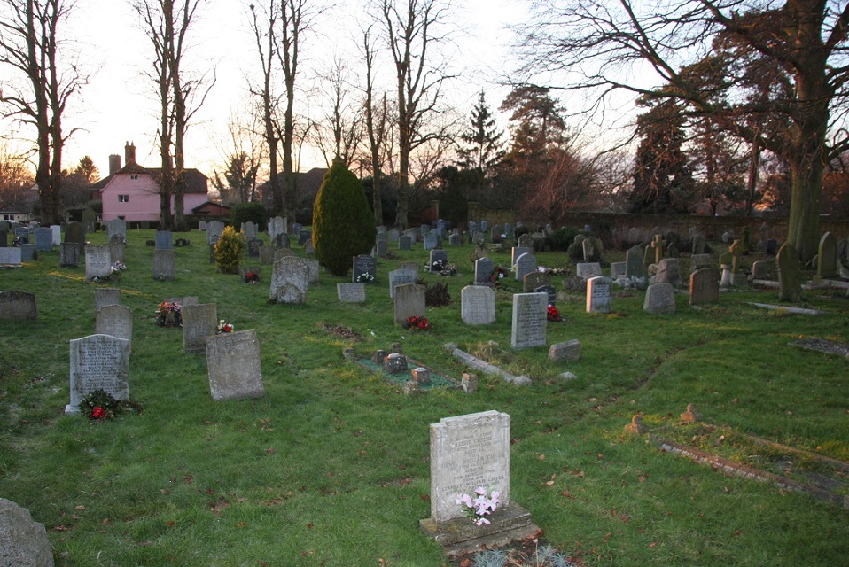
| Description | : | The church of the Holy Cross in Felsted, Essex is a wide, light-filled church built in the 12th century with additions and alterations in the 14th and 16th centuries. Renovations took place in the 19th and 20th centuries. These renovations removed some of the ancient graffiti, but there is still a substantial amount, especially on the columns on the north side of the nave. The blocked-up windows in the archway between the church and the village street were used for the distribution of herring to the poor during Lent, instigated by Lord Riche. The church contains the elaborate monument to... Read More |
frequently asked questions (FAQ):
-
Where is Holy Cross Churchyard?
Holy Cross Churchyard is located at Braintree Road Felsted, Uttlesford District ,Essex , CM6 3DQEngland.
-
Holy Cross Churchyard cemetery's updated grave count on graveviews.com?
0 memorials
-
Where are the coordinates of the Holy Cross Churchyard?
Latitude: 51.8569970
Longitude: 0.4335410
Nearby Cemetories:
1. Felsted Congregational Burial Ground
Felsted, Uttlesford District, England
Coordinate: 51.8524490, 0.4358640
2. St Mary Churchyard
Little Dunmow, Uttlesford District, England
Coordinate: 51.8654120, 0.4036350
3. St Mary the Virgin Churchyard
Stebbing, Uttlesford District, England
Coordinate: 51.8895200, 0.4165300
4. St Mary the Virgin Churchyard
Great Dunmow, Uttlesford District, England
Coordinate: 51.8813920, 0.3660360
5. Great Dunmow Cemetery
Great Dunmow, Uttlesford District, England
Coordinate: 51.8825180, 0.3652100
6. St John the Evangelist Churchyard
Little Leighs, Chelmsford Borough, England
Coordinate: 51.8229710, 0.4927920
7. All Saints Churchyard
Rayne, Braintree District, England
Coordinate: 51.8778160, 0.5160680
8. Holy Trinity Churchyard
Pleshey, Chelmsford Borough, England
Coordinate: 51.8024580, 0.4107000
9. St Mary the Virgin Churchyard
Lindsell, Uttlesford District, England
Coordinate: 51.9183600, 0.3886400
10. Braintree Cemetery
Braintree, Braintree District, England
Coordinate: 51.8717820, 0.5416960
11. St Mary the Virgin Churchyard
Great Leighs, Chelmsford Borough, England
Coordinate: 51.8119210, 0.5203060
12. St Mary the Virgin Churchyard
Little Easton, Uttlesford District, England
Coordinate: 51.8869280, 0.3299070
13. St Mary and St Christopher Churchyard
Panfield, Braintree District, England
Coordinate: 51.8995040, 0.5255890
14. St Paul Churchyard
Highwood, Chelmsford Borough, England
Coordinate: 51.7939100, 0.3788800
15. St Mary the Virgin Churchyard
High Easter, Uttlesford District, England
Coordinate: 51.8078590, 0.3485370
16. St. Michael's Churchyard
Braintree, Braintree District, England
Coordinate: 51.8773320, 0.5497240
17. St Peter and St Paul Churchyard
Black Notley, Braintree District, England
Coordinate: 51.8572540, 0.5564310
18. St Martin Churchyard
Little Waltham, Chelmsford Borough, England
Coordinate: 51.7863900, 0.4810600
19. St John and St Giles Churchyard
Great Easton, Uttlesford District, England
Coordinate: 51.9046125, 0.3354719
20. Bocking End Congregational Churchyard
Braintree, Braintree District, England
Coordinate: 51.8815870, 0.5522100
21. St Mary Churchyard
Great Canfield, Uttlesford District, England
Coordinate: 51.8388000, 0.3110930
22. St Nicholas Churchyard
Chignall Smealy, Chelmsford Borough, England
Coordinate: 51.7783710, 0.4162760
23. Mashbury Churchyard
Mashbury, Chelmsford Borough, England
Coordinate: 51.7809900, 0.3931400
24. All Saints Churchyard
Little Canfield, Uttlesford District, England
Coordinate: 51.8645410, 0.3033900