
| Memorials | : | 0 |
| Location | : | Stebbing, Uttlesford District, England |
| Coordinate | : | 51.8895200, 0.4165300 |
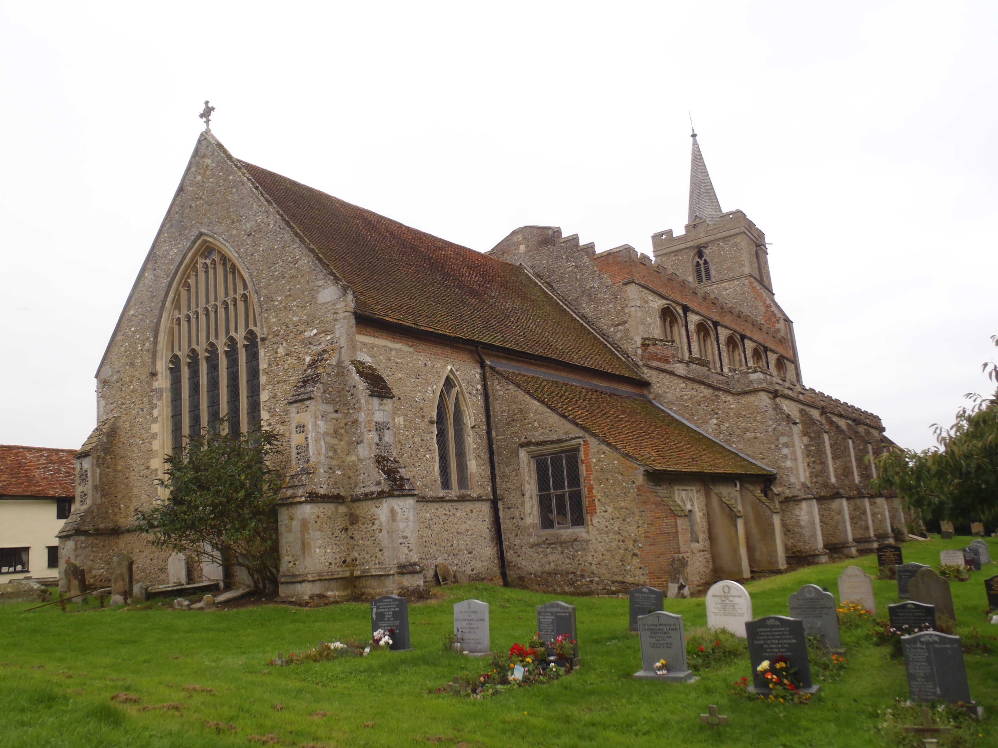
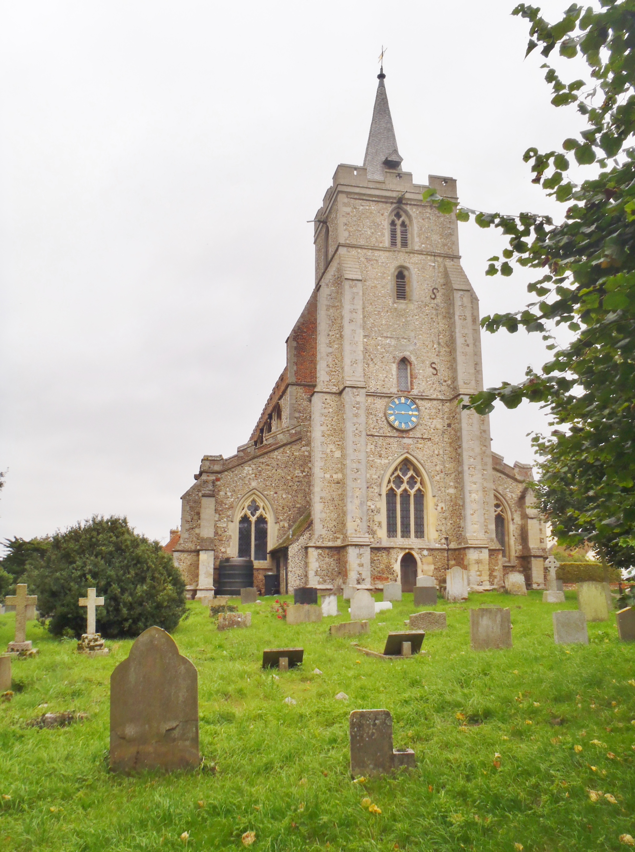
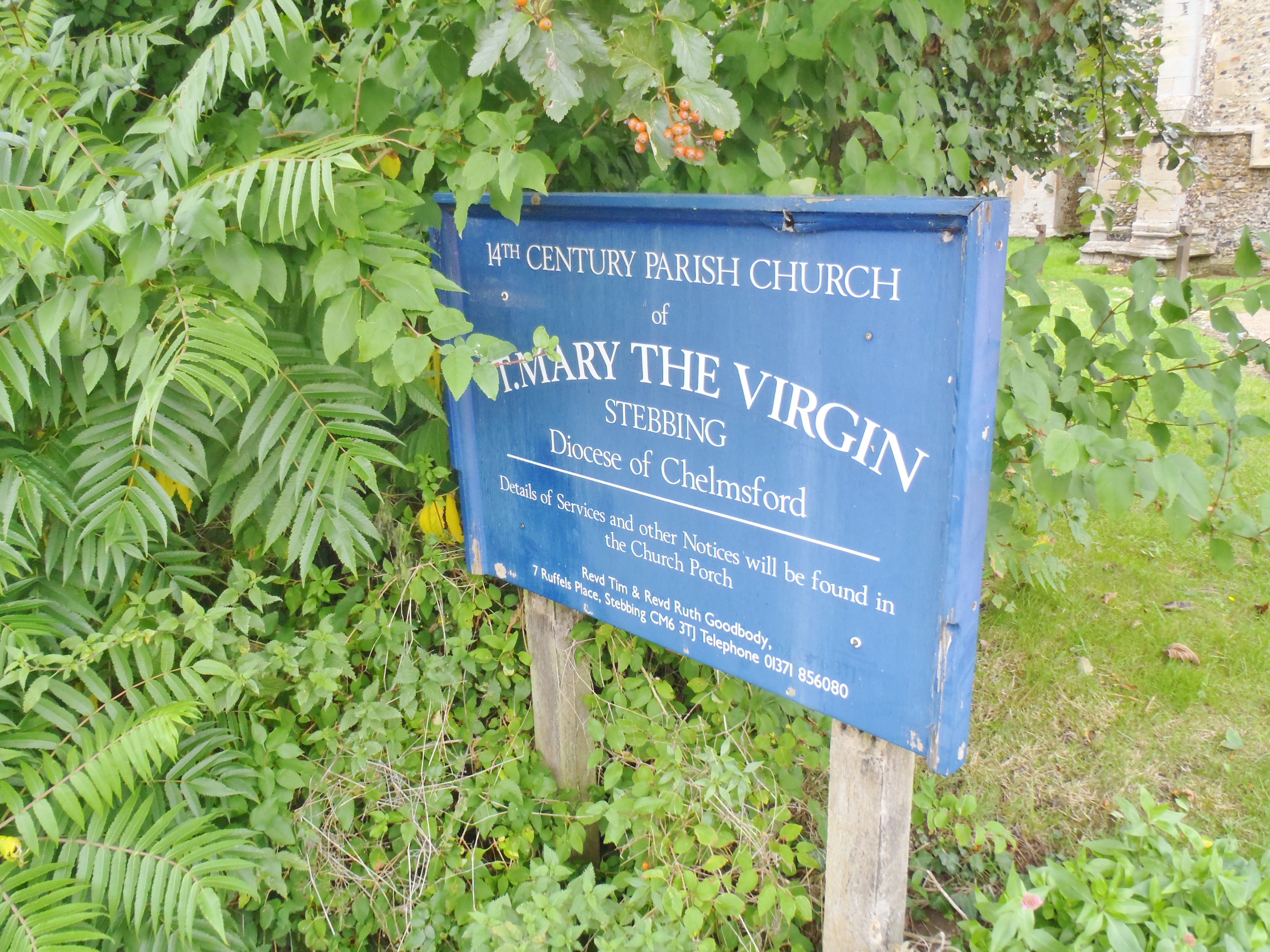
| Description | : | The church was built in 1326.There are three wargraves in the churchyard. |
frequently asked questions (FAQ):
-
Where is St Mary the Virgin Churchyard?
St Mary the Virgin Churchyard is located at Watch House Road, Church End Stebbing, Uttlesford District ,Essex , CM6 3SWEngland.
-
St Mary the Virgin Churchyard cemetery's updated grave count on graveviews.com?
0 memorials
-
Where are the coordinates of the St Mary the Virgin Churchyard?
Latitude: 51.8895200
Longitude: 0.4165300
Nearby Cemetories:
1. St Mary Churchyard
Little Dunmow, Uttlesford District, England
Coordinate: 51.8654120, 0.4036350
2. St Mary the Virgin Churchyard
Great Dunmow, Uttlesford District, England
Coordinate: 51.8813920, 0.3660360
3. Great Dunmow Cemetery
Great Dunmow, Uttlesford District, England
Coordinate: 51.8825180, 0.3652100
4. St Mary the Virgin Churchyard
Lindsell, Uttlesford District, England
Coordinate: 51.9183600, 0.3886400
5. Holy Cross Churchyard
Felsted, Uttlesford District, England
Coordinate: 51.8569970, 0.4335410
6. Felsted Congregational Burial Ground
Felsted, Uttlesford District, England
Coordinate: 51.8524490, 0.4358640
7. St John and St Giles Churchyard
Great Easton, Uttlesford District, England
Coordinate: 51.9046125, 0.3354719
8. St Mary the Virgin Churchyard
Little Easton, Uttlesford District, England
Coordinate: 51.8869280, 0.3299070
9. St Katherine Churchyard
Little Bardfield, Uttlesford District, England
Coordinate: 51.9504800, 0.4080100
10. All Saints Churchyard
Rayne, Braintree District, England
Coordinate: 51.8778160, 0.5160680
11. St Mary and St Christopher Churchyard
Panfield, Braintree District, England
Coordinate: 51.8995040, 0.5255890
12. All Saints Churchyard
Little Canfield, Uttlesford District, England
Coordinate: 51.8645410, 0.3033900
13. Braintree Cemetery
Braintree, Braintree District, England
Coordinate: 51.8717820, 0.5416960
14. St John the Baptist Churchyard
Thaxted, Uttlesford District, England
Coordinate: 51.9543000, 0.3422000
15. Congregational Chapelyard
Thaxted, Uttlesford District, England
Coordinate: 51.9536600, 0.3396500
16. St John the Evangelist Churchyard
Little Leighs, Chelmsford Borough, England
Coordinate: 51.8229710, 0.4927920
17. St Mary Churchyard
Great Canfield, Uttlesford District, England
Coordinate: 51.8388000, 0.3110930
18. St. Michael's Churchyard
Braintree, Braintree District, England
Coordinate: 51.8773320, 0.5497240
19. Bocking End Congregational Churchyard
Braintree, Braintree District, England
Coordinate: 51.8815870, 0.5522100
20. St Mary the Virgin Church
Bocking, Braintree District, England
Coordinate: 51.9018600, 0.5524710
21. St Mary the Virgin Churchyard
Bocking, Braintree District, England
Coordinate: 51.9018750, 0.5525520
22. Bocking Cemetery
Braintree, Braintree District, England
Coordinate: 51.8974020, 0.5546570
23. Holy Trinity Churchyard
Pleshey, Chelmsford Borough, England
Coordinate: 51.8024580, 0.4107000
24. St. Mary the Virgin Churchyard
Saffron Walden, Uttlesford District, England
Coordinate: 51.9768000, 0.4055000