
| Memorials | : | 0 |
| Location | : | Bandon, Coos County, USA |
| Coordinate | : | 43.1209360, -124.4050680 |
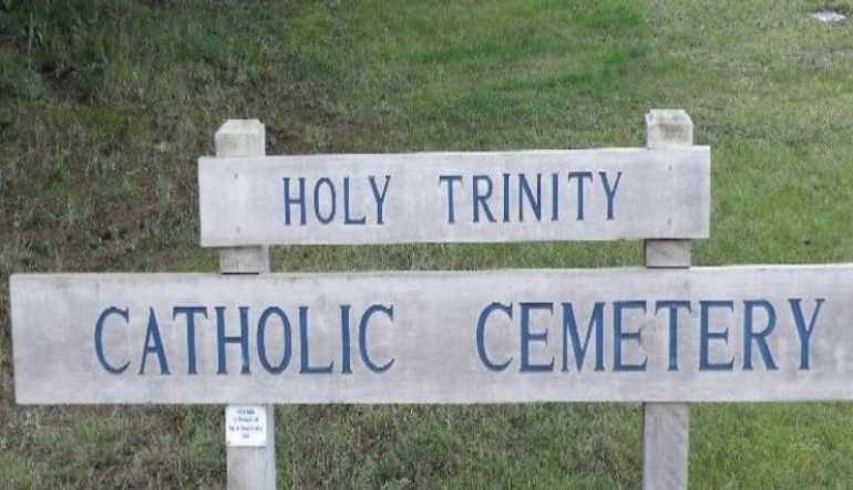
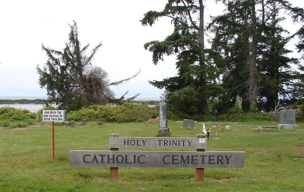
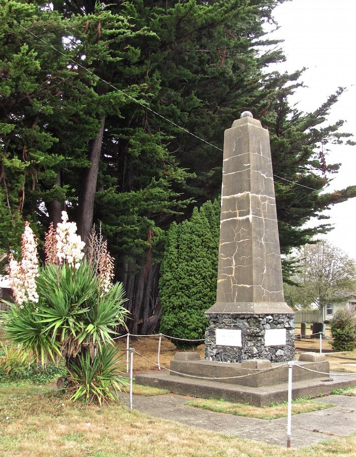
| Description | : | Holy Trinity Catholic Cemetery is located in Bandon, Oregon at the North end of Harlem Ave. |
frequently asked questions (FAQ):
-
Where is Holy Trinity Catholic Cemetery?
Holy Trinity Catholic Cemetery is located at North end of Harlem Ave. Bandon, Coos County ,Oregon , 97411USA.
-
Holy Trinity Catholic Cemetery cemetery's updated grave count on graveviews.com?
0 memorials
-
Where are the coordinates of the Holy Trinity Catholic Cemetery?
Latitude: 43.1209360
Longitude: -124.4050680
Nearby Cemetories:
1. Averill Pioneer Cemetery
Bandon, Coos County, USA
Coordinate: 43.1205720, -124.4052740
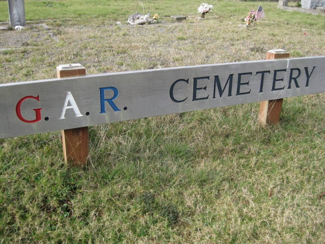
2. Grand Army of the Republic Cemetery
Bandon, Coos County, USA
Coordinate: 43.1191711, -124.4072189
3. IOOF Cemetery
Bandon, Coos County, USA
Coordinate: 43.1190290, -124.3946220
4. Knights of Pythias Cemetery
Bandon, Coos County, USA
Coordinate: 43.1192017, -124.3893967
5. Bullards Cemetery
Coos County, USA
Coordinate: 43.1549988, -124.3957977
6. Parkersburg Cemetery
Coos County, USA
Coordinate: 43.1413330, -124.3444110
7. Bear Creek Cemetery
Coos County, USA
Coordinate: 43.1055984, -124.3319016
8. Randolph Cemetery
Coos County, USA
Coordinate: 43.1693993, -124.3542023
9. Hultin Thrush Cemetery
Coos County, USA
Coordinate: 43.1692009, -124.3494034
10. Russell Cemetery
Coos County, USA
Coordinate: 43.1763992, -124.3375015
11. Lampa Creek Cemetery
Coos County, USA
Coordinate: 43.1152992, -124.2861023
12. Upper Fish Trap Cemetery
Coos County, USA
Coordinate: 43.1074690, -124.2352010
13. Smalley Cemetery
Myrtle Point, Coos County, USA
Coordinate: 43.0776900, -124.2176000
14. Sacchi Cemetery
Bandon, Coos County, USA
Coordinate: 43.2644386, -124.3824997
15. Robison-Lower Fishtrap Cemetery
Arago, Coos County, USA
Coordinate: 43.1232986, -124.2007980
16. IOOF Cemetery #1
Coquille, Coos County, USA
Coordinate: 43.1802266, -124.1913498
17. Coquille IOOF Pioneer Cemetery #1
Coquille, Coos County, USA
Coordinate: 43.1802377, -124.1912000
18. Masonic Cemetery
Coquille, Coos County, USA
Coordinate: 43.1868540, -124.1943520
19. Coquille Pioneer Cemetery
Coquille, Coos County, USA
Coordinate: 43.1894120, -124.1951130
20. Myrtle Crest Memorial Gardens
Coquille, Coos County, USA
Coordinate: 43.1596985, -124.1761017
21. Ocean View Cemetery
Curry County, USA
Coordinate: 42.9486008, -124.3694000
22. Catching Creek Cemetery
Coos County, USA
Coordinate: 43.0080986, -124.2130966
23. Norway Cemetery
Norway, Coos County, USA
Coordinate: 43.1035995, -124.1552963
24. Rackleff Cemetery
Myrtle Point, Coos County, USA
Coordinate: 43.0808400, -124.1454200