| Memorials | : | 1 |
| Location | : | Littlebury, Uttlesford District, England |
| Coordinate | : | 52.0330700, 0.2099040 |
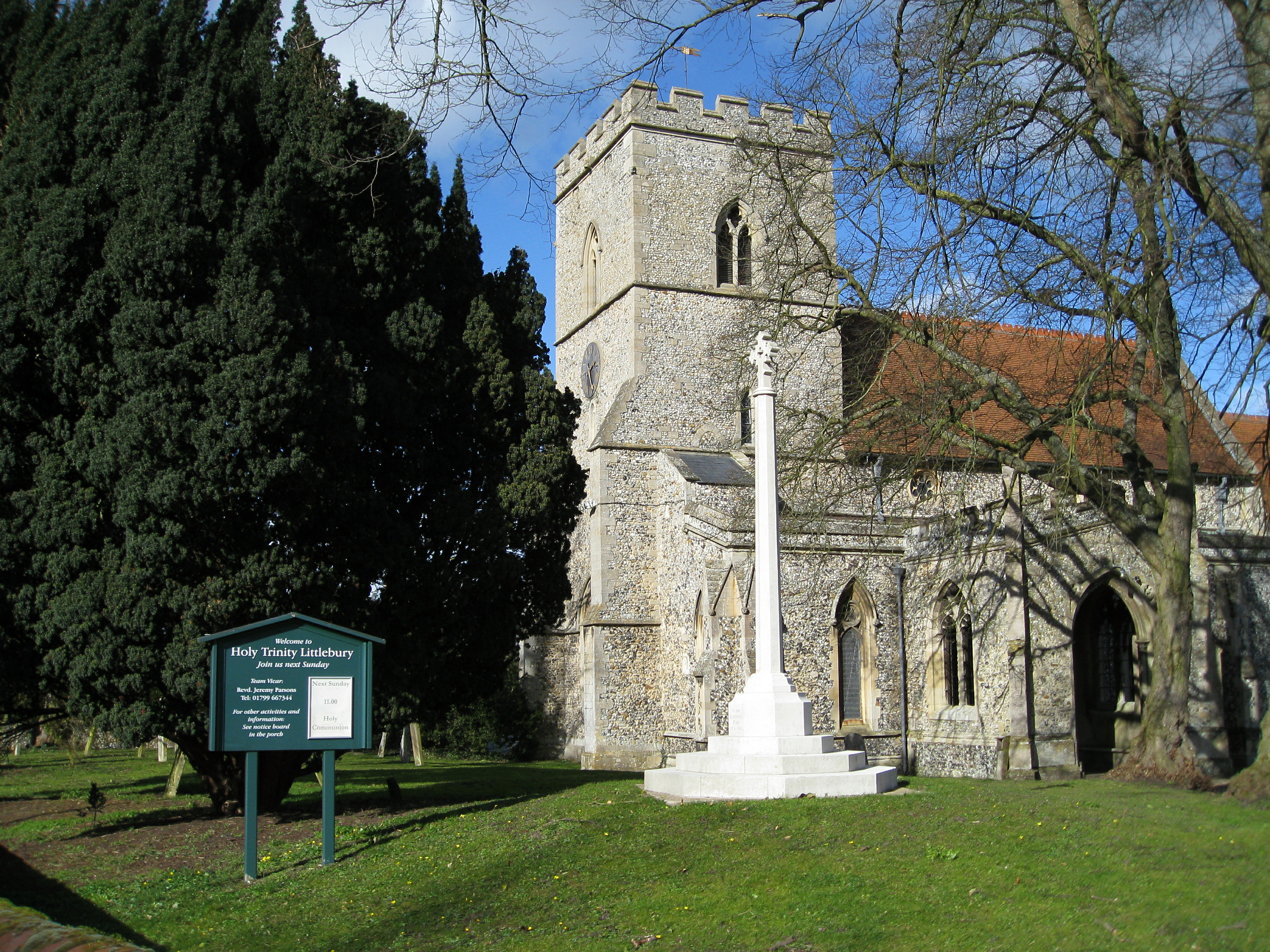
| Description | : | Littlebury is a small village in north-west Essex outside Saffron Walden. It has around 600 people in Littlebury itself and the two hamlets of Littlebury Green and Catmere End. It is around a mile and a half from the market town of Saffron Walden and fifteen miles south of Cambridge, the nearest city. The parish church of Holy Trinity was built on the site of a Roman camp. The first record of it dates from 1163 and the church was considerably altered between 1870 and 1874 It houses a beautiful stone font with decorated oak canopy. |
frequently asked questions (FAQ):
-
Where is Holy Trinity Churchyard?
Holy Trinity Churchyard is located at High Street Littlebury, Uttlesford District ,Essex , CB11 4TDEngland.
-
Holy Trinity Churchyard cemetery's updated grave count on graveviews.com?
1 memorials
-
Where are the coordinates of the Holy Trinity Churchyard?
Latitude: 52.0330700
Longitude: 0.2099040
Nearby Cemetories:
1. Walden Abbey
Saffron Walden, Uttlesford District, England
Coordinate: 52.0247400, 0.2391810
2. Saffron Walden Cemetery
Saffron Walden, Uttlesford District, England
Coordinate: 52.0232610, 0.2528010
3. St. Mary the Virgin Churchyard
Wendens Ambo, Uttlesford District, England
Coordinate: 52.0049490, 0.2029250
4. All Saints Churchyard
Great Chesterford, Uttlesford District, England
Coordinate: 52.0625796, 0.1951704
5. St. Mary Magdalene Churchyard
Ickleton, South Cambridgeshire District, England
Coordinate: 52.0727200, 0.1797800
6. Cam Valley Crematorium
Great Chesterford, Uttlesford District, England
Coordinate: 52.0788488, 0.1975499
7. St Mary the Virgin Churchyard
Newport, Uttlesford District, England
Coordinate: 51.9845000, 0.2135600
8. Ickleton Cemetery
Ickleton, South Cambridgeshire District, England
Coordinate: 52.0774663, 0.1762005
9. St. Nicholas Churchyard
Elmdon, Uttlesford District, England
Coordinate: 52.0359900, 0.1294000
10. The Hamlet Church Cemetery
Duddenhoe End, Uttlesford District, England
Coordinate: 52.0145269, 0.1285385
11. Ss Mary and John Churchyard
Hinxton, South Cambridgeshire District, England
Coordinate: 52.0846300, 0.1829600
12. St Margaret Churchyard
Arkesden, Uttlesford District, England
Coordinate: 51.9897000, 0.1571200
13. Holy Trinity Churchyard
Chrishall, Uttlesford District, England
Coordinate: 52.0276500, 0.1139577
14. Ashdon Cemetery
Ashdon, Uttlesford District, England
Coordinate: 52.0493900, 0.3041630
15. St Mary the Virgin and All Saints Churchyard
Debden, Uttlesford District, England
Coordinate: 51.9759030, 0.2568160
16. St Peter Churchyard
Duxford, South Cambridgeshire District, England
Coordinate: 52.0922760, 0.1596880
17. St John Church
Duxford, South Cambridgeshire District, England
Coordinate: 52.0943610, 0.1563080
18. Duxford Cemetery
Duxford, South Cambridgeshire District, England
Coordinate: 52.0948400, 0.1569400
19. All Saints Churchyard
Wimbish, Uttlesford District, England
Coordinate: 52.0073700, 0.3161900
20. St Mary the Virgin Churchyard
Widdington, Uttlesford District, England
Coordinate: 51.9629600, 0.2397600
21. All Saints Churchyard
Rickling, Uttlesford District, England
Coordinate: 51.9615100, 0.1798200
22. Linton Free Church
Linton, South Cambridgeshire District, England
Coordinate: 52.0961850, 0.2764610
23. Holy Trinity Churchyard
Heydon, South Cambridgeshire District, England
Coordinate: 52.0399400, 0.0868500
24. St Mary the Virgin Churchyard
Linton, South Cambridgeshire District, England
Coordinate: 52.0963790, 0.2784350

