
| Memorials | : | 117 |
| Location | : | Rickling, Uttlesford District, England |
| Coordinate | : | 51.9615100, 0.1798200 |
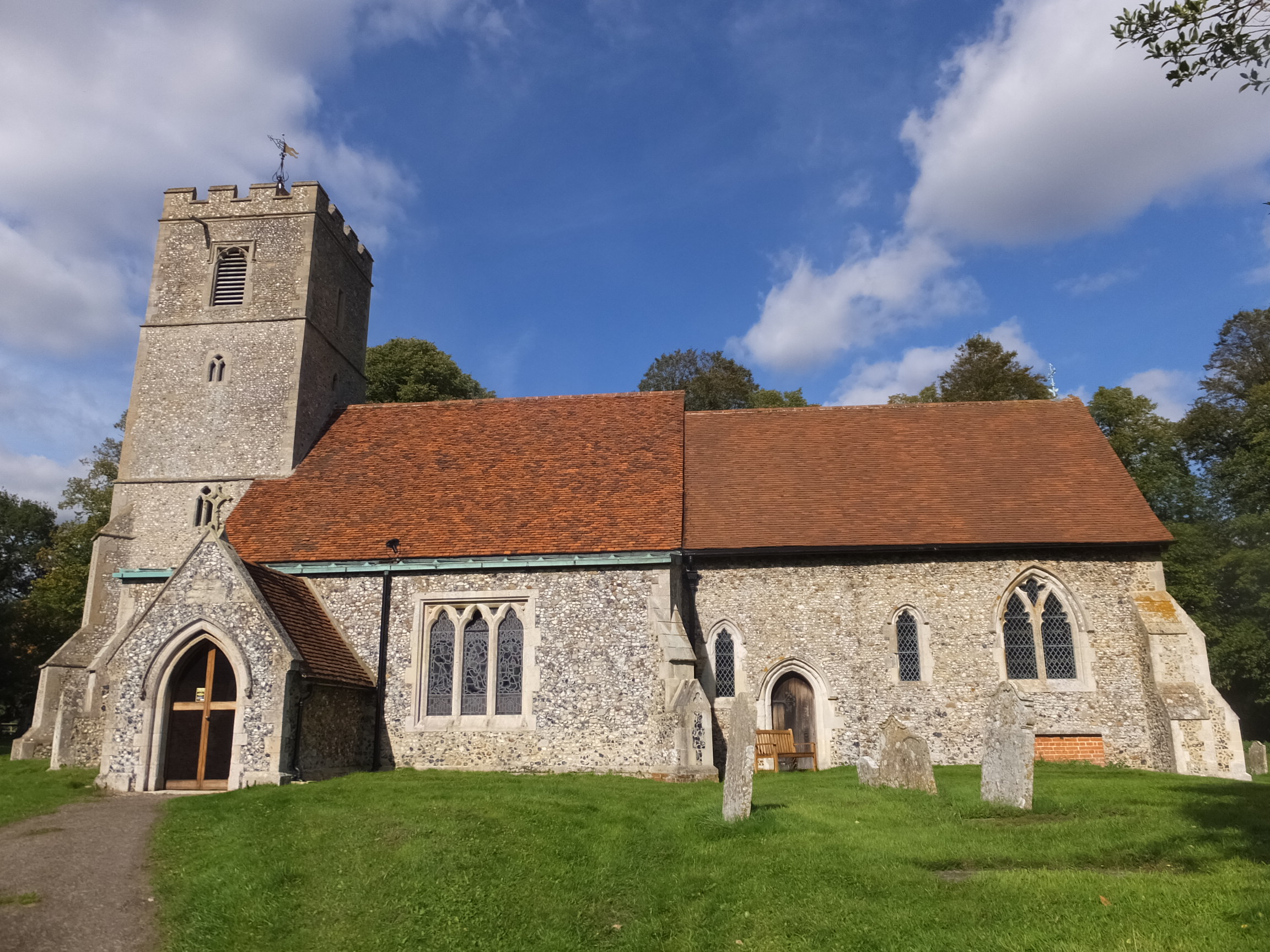
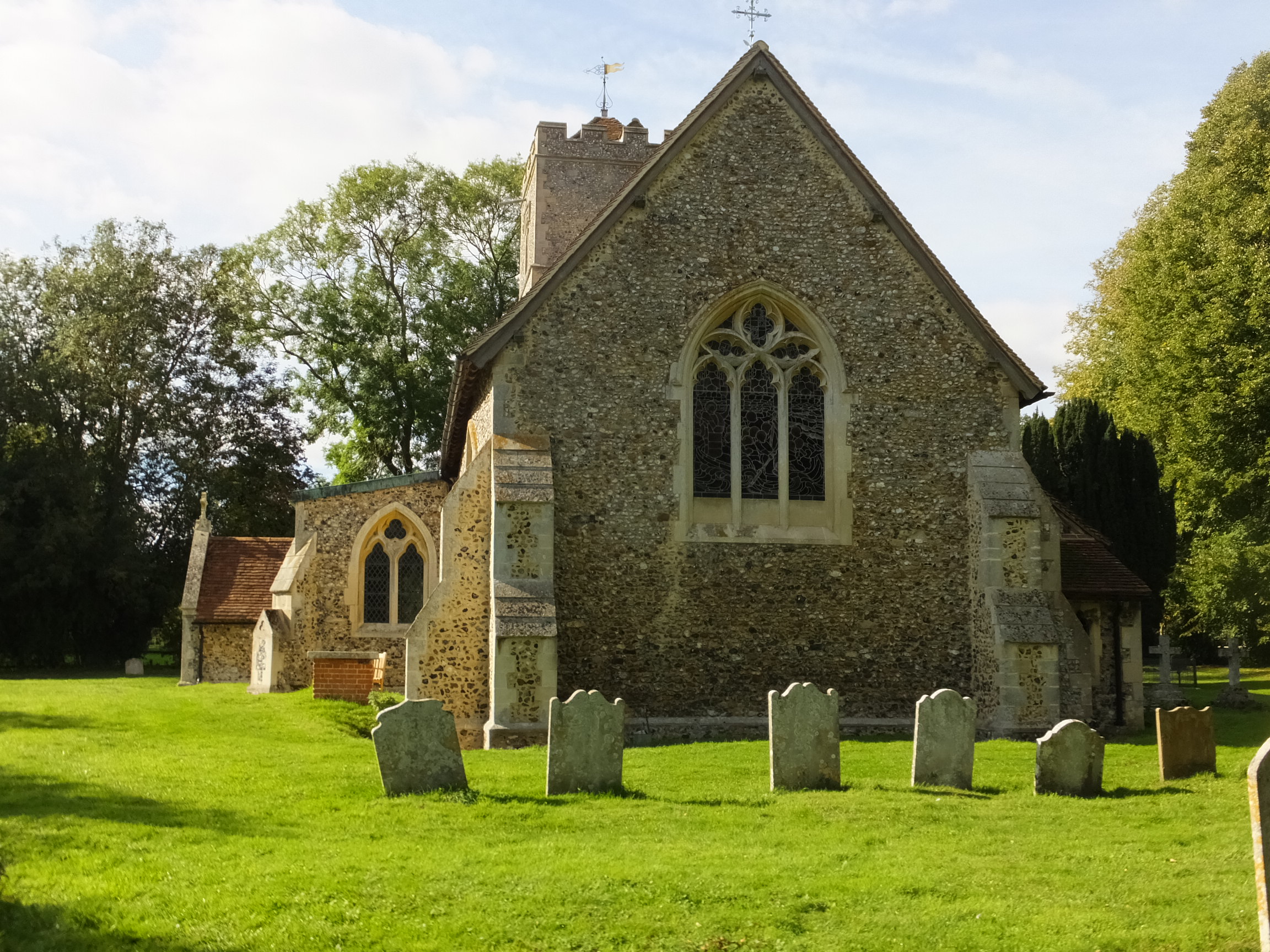
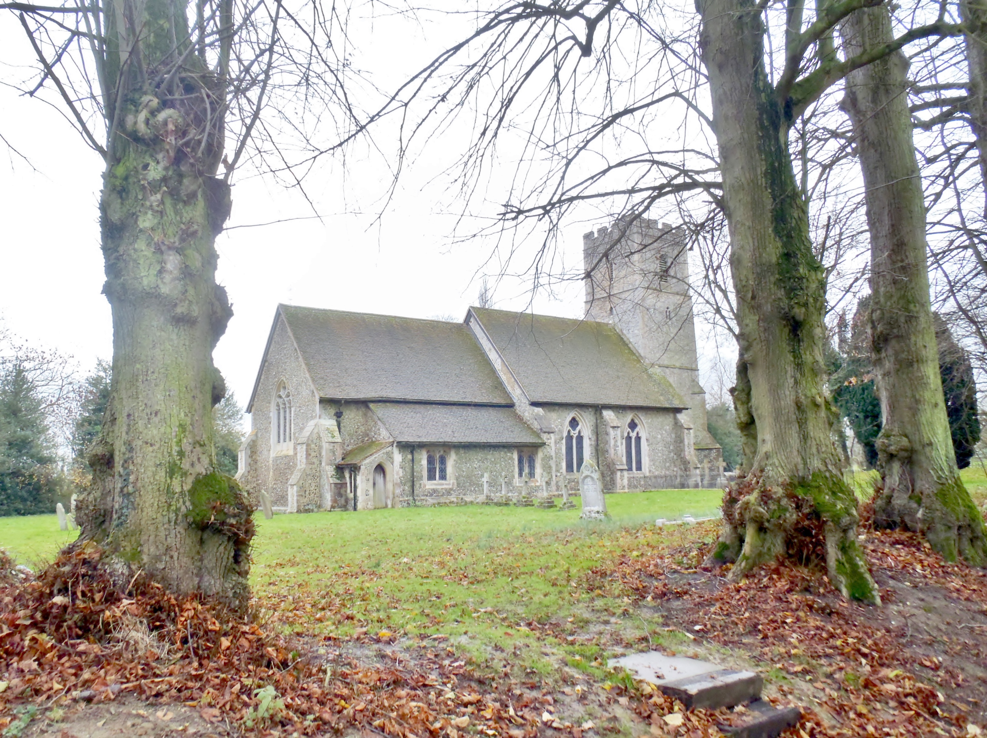
| Description | : | Rickling and the adjoining Rickling Green is a village in the Uttlesford district, in the county of Essex, England. The village is located around 7 miles from Bishop's Stortford, around 9 miles from Saffron Walden and around 4 miles from the large village of Newport. Since the 1940s, it has been part of the parish of Quendon and Rickling. Rickling Green is around 0.5 miles from Quendon village and is the much larger centre. Rickling, some 1.5 miles north-west of Quendon, is the site of the village's church, All Saints, and a few houses. The name Rickling is found... Read More |
frequently asked questions (FAQ):
-
Where is All Saints Churchyard?
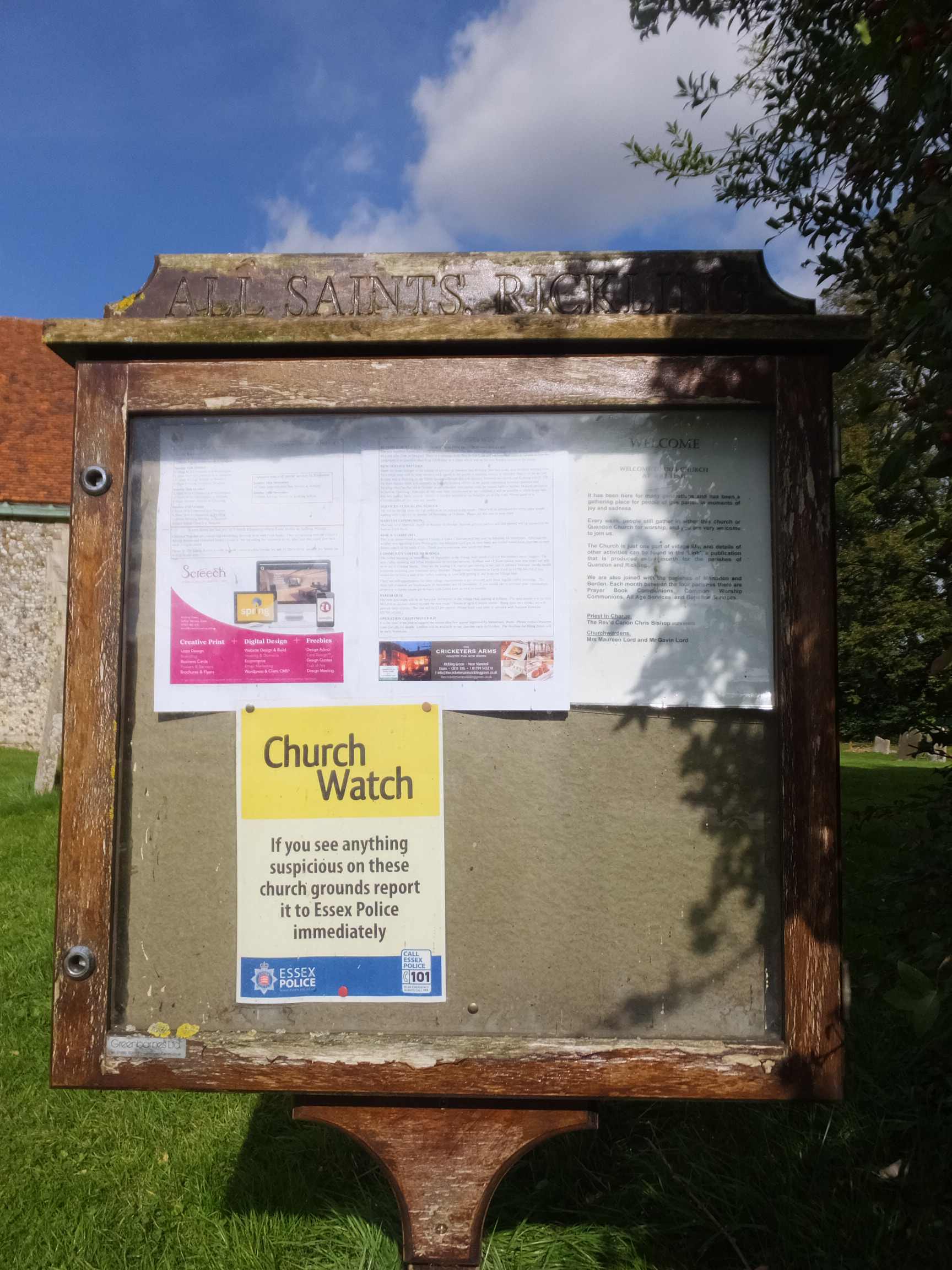
All Saints Churchyard is located at Rickling Road/Brick Kiln Lane Rickling, Uttlesford District ,Essex , CB11 3YLEngland.
-
All Saints Churchyard cemetery's updated grave count on graveviews.com?
117 memorials
-
Where are the coordinates of the All Saints Churchyard?
Latitude: 51.9615100
Longitude: 0.1798200
Nearby Cemetories:
1. Quendon Churchyard
Quendon, Uttlesford District, England
Coordinate: 51.9535800, 0.2038700
2. Ss Mary and Clement Churchyard
Clavering, Uttlesford District, England
Coordinate: 51.9653720, 0.1393760
3. St Peter Churchyard
Ugley, Uttlesford District, England
Coordinate: 51.9364900, 0.2086500
4. St Mary the Virgin Churchyard
Newport, Uttlesford District, England
Coordinate: 51.9845000, 0.2135600
5. St Margaret Churchyard
Arkesden, Uttlesford District, England
Coordinate: 51.9897000, 0.1571200
6. St Mary the Virgin Churchyard
Widdington, Uttlesford District, England
Coordinate: 51.9629600, 0.2397600
7. St. Mary the Virgin Churchyard
Wendens Ambo, Uttlesford District, England
Coordinate: 52.0049490, 0.2029250
8. St Mary the Virgin Churchyard
Henham, Uttlesford District, England
Coordinate: 51.9342500, 0.2456300
9. St Mary the Virgin and All Saints Churchyard
Debden, Uttlesford District, England
Coordinate: 51.9759030, 0.2568160
10. Saint Mary Churchyard
Meesden, East Hertfordshire District, England
Coordinate: 51.9728000, 0.0934270
11. St. John The Evangelist Churchyard
Langley, Uttlesford District, England
Coordinate: 51.9969356, 0.0995640
12. The Hamlet Church Cemetery
Duddenhoe End, Uttlesford District, England
Coordinate: 52.0145269, 0.1285385
13. St. Mary the Virgin Churchyard
Farnham, Uttlesford District, England
Coordinate: 51.9020340, 0.1517660
14. St Mary the Virgin Churchyard
Furneux Pelham, East Hertfordshire District, England
Coordinate: 51.9316710, 0.0808950
15. St. Mary the Virgin Churchyard
Stansted Mountfitchet, Uttlesford District, England
Coordinate: 51.8953440, 0.2091880
16. Walden Abbey
Saffron Walden, Uttlesford District, England
Coordinate: 52.0247400, 0.2391810
17. Holy Trinity Churchyard
Littlebury, Uttlesford District, England
Coordinate: 52.0330700, 0.2099040
18. Saffron Walden Cemetery
Saffron Walden, Uttlesford District, England
Coordinate: 52.0232610, 0.2528010
19. Holy Trinity Churchyard
Chrishall, Uttlesford District, England
Coordinate: 52.0276500, 0.1139577
20. St Mary the Virgin Churchyard
Birchanger, Uttlesford District, England
Coordinate: 51.8831930, 0.1885850
21. St. Nicholas Churchyard
Elmdon, Uttlesford District, England
Coordinate: 52.0359900, 0.1294000
22. St Mary's Churchyard
Albury, East Hertfordshire District, England
Coordinate: 51.9026500, 0.0852920
23. St George Churchyard
Anstey, East Hertfordshire District, England
Coordinate: 51.9766990, 0.0431300
24. St Nicholas Churchyard
Little Chishill, South Cambridgeshire District, England
Coordinate: 52.0154690, 0.0654890