
| Memorials | : | 0 |
| Location | : | Heydon, South Cambridgeshire District, England |
| Coordinate | : | 52.0399400, 0.0868500 |
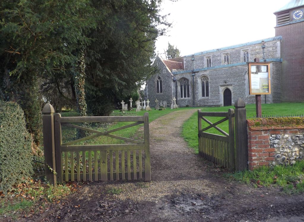
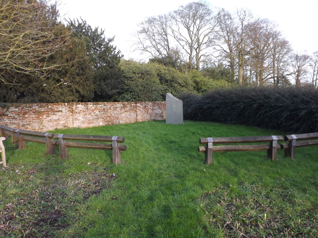
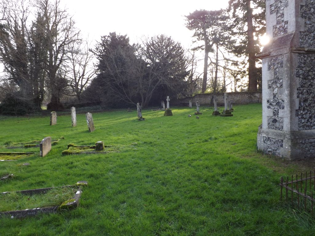
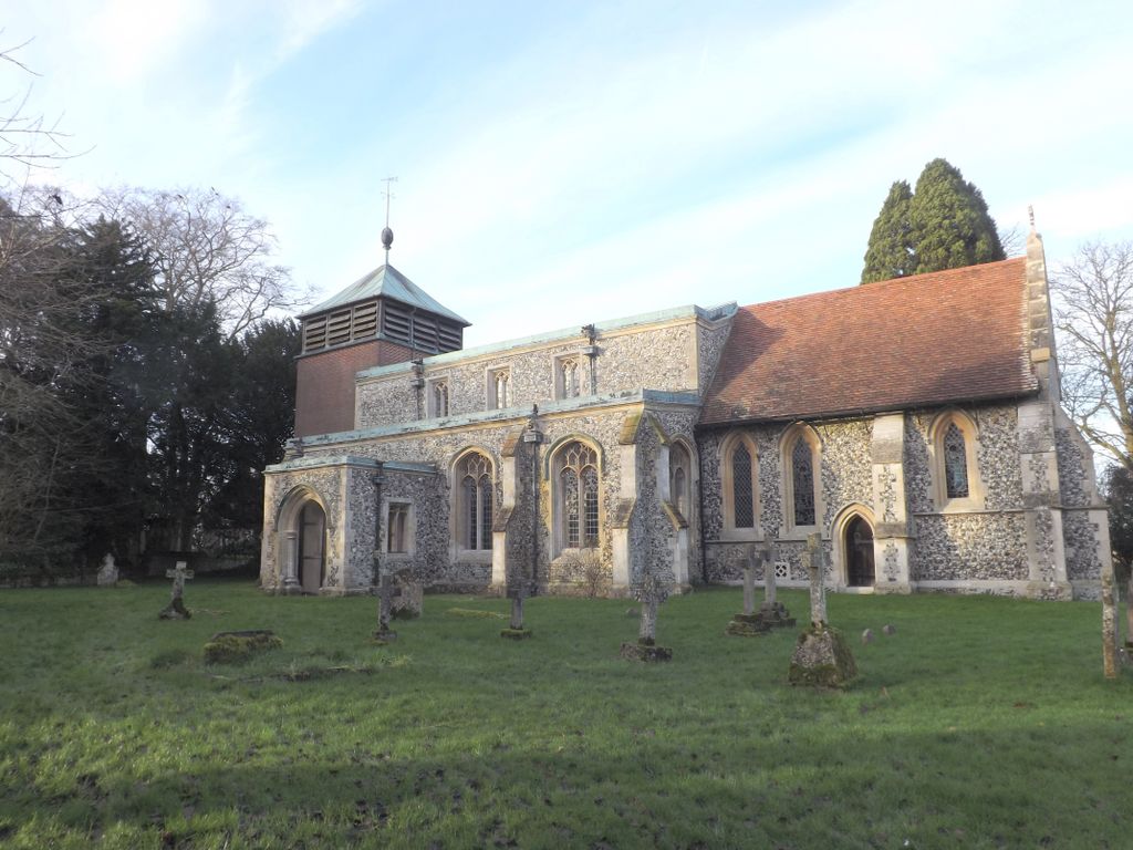
| Description | : | Heydon is a village in the East of England region and the county of Cambridgeshire. The parish of Heydon was transferred from Essex to Cambridgeshire in 1894. It is situated on what is one of the highest places in Cambridgeshire, with nearby village Great Chishill being the very highest. Holy Trinity church, [Grade II* listed] in the centre of the village, was seriously damaged in a bombing raid in 1940. Holy Trinity is part of the parish of the Icknield Way together with the Chishills, Chrishall, Elmdon with Wenden Lofts and Strethall churches. |
frequently asked questions (FAQ):
-
Where is Holy Trinity Churchyard?
Holy Trinity Churchyard is located at Chishill Road Heydon, South Cambridgeshire District ,Cambridgeshire , SG8 8PWEngland.
-
Holy Trinity Churchyard cemetery's updated grave count on graveviews.com?
0 memorials
-
Where are the coordinates of the Holy Trinity Churchyard?
Latitude: 52.0399400
Longitude: 0.0868500
Nearby Cemetories:
1. St Swithin Churchyard
Great Chishill, South Cambridgeshire District, England
Coordinate: 52.0300090, 0.0715990
2. Holy Trinity Churchyard
Chrishall, Uttlesford District, England
Coordinate: 52.0276500, 0.1139577
3. St. Nicholas Churchyard
Elmdon, Uttlesford District, England
Coordinate: 52.0359900, 0.1294000
4. St Nicholas Churchyard
Little Chishill, South Cambridgeshire District, England
Coordinate: 52.0154690, 0.0654890
5. St. Margaret of Antioch Churchyard
Barley, North Hertfordshire District, England
Coordinate: 52.0264390, 0.0416390
6. The Hamlet Church Cemetery
Duddenhoe End, Uttlesford District, England
Coordinate: 52.0145269, 0.1285385
7. St. John The Evangelist Churchyard
Langley, Uttlesford District, England
Coordinate: 51.9969356, 0.0995640
8. Fowlmere United Reformed Churchyard
Fowlmere, South Cambridgeshire District, England
Coordinate: 52.0902000, 0.0734000
9. St Mary Churchyard
Fowlmere, South Cambridgeshire District, England
Coordinate: 52.0933800, 0.0750800
10. Barkway Chapel Cemetery
Barkway, North Hertfordshire District, England
Coordinate: 52.0047910, 0.0151040
11. St Mary Magdalene Churchyard
Barkway, North Hertfordshire District, England
Coordinate: 52.0015793, 0.0129600
12. Melbourn Burial Ground
Melbourn, South Cambridgeshire District, England
Coordinate: 52.0834230, 0.0202940
13. Melbourn United Reformed Churchyard
Melbourn, South Cambridgeshire District, England
Coordinate: 52.0811610, 0.0165870
14. Fowlmere Cemetery
Fowlmere, South Cambridgeshire District, England
Coordinate: 52.0989000, 0.0613500
15. St George Churchyard
Thriplow, South Cambridgeshire District, England
Coordinate: 52.1021560, 0.1040390
16. St. Mary Magdalene Churchyard
Ickleton, South Cambridgeshire District, England
Coordinate: 52.0727200, 0.1797800
17. Royston Cemetery
Royston, North Hertfordshire District, England
Coordinate: 52.0522860, -0.0190440
18. St Margaret Churchyard
Arkesden, Uttlesford District, England
Coordinate: 51.9897000, 0.1571200
19. Ickleton Cemetery
Ickleton, South Cambridgeshire District, England
Coordinate: 52.0774663, 0.1762005
20. Saint Mary Churchyard
Meesden, East Hertfordshire District, England
Coordinate: 51.9728000, 0.0934270
21. St John the Baptist Churchyard
Royston, North Hertfordshire District, England
Coordinate: 52.0478410, -0.0218200
22. St George Churchyard
Anstey, East Hertfordshire District, England
Coordinate: 51.9766990, 0.0431300
23. St Peter Churchyard
Duxford, South Cambridgeshire District, England
Coordinate: 52.0922760, 0.1596880
24. St John Church
Duxford, South Cambridgeshire District, England
Coordinate: 52.0943610, 0.1563080