
| Memorials | : | 997 |
| Location | : | Colden Common, City of Winchester, England |
| Coordinate | : | 50.9912400, -1.3087900 |
| Description | : | Colden Common is a village and civil parish in in the Winchester District.of Hampshire, England, lying just east of the M3 motorway between Winchester and Southampton. The nearest town is Eastleigh to the south west. To the east are the South Downs and to the west is the River Itchen. The village lies north of the hamlet of Fisher's Pond and the village of Fair Oak, and south of the village and parish of Twyford. Colden Common became an independent civil parish (the lowest tier of local government) as recently as 1932 having initially been part of the parishes of Twyford... Read More |
frequently asked questions (FAQ):
-
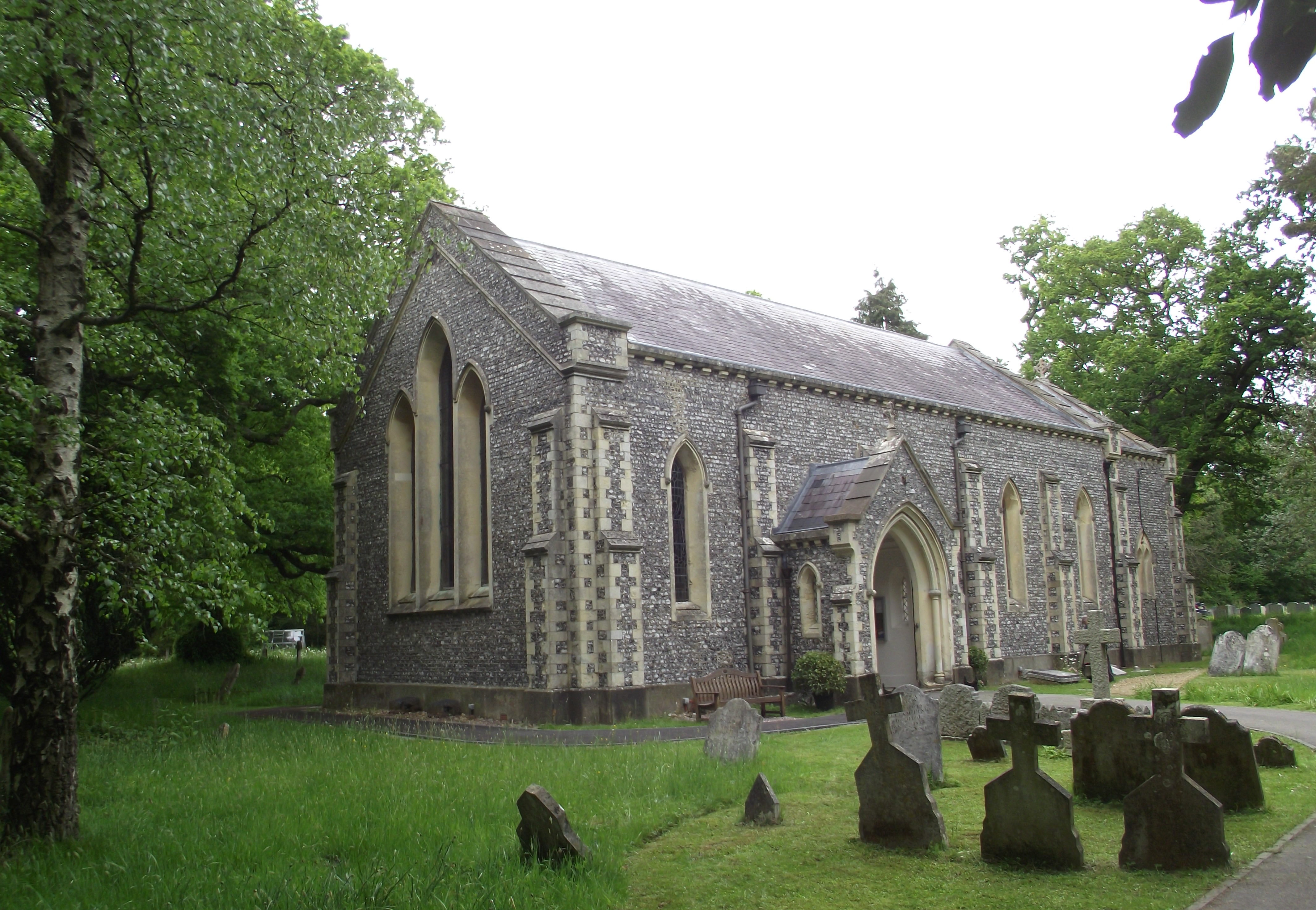
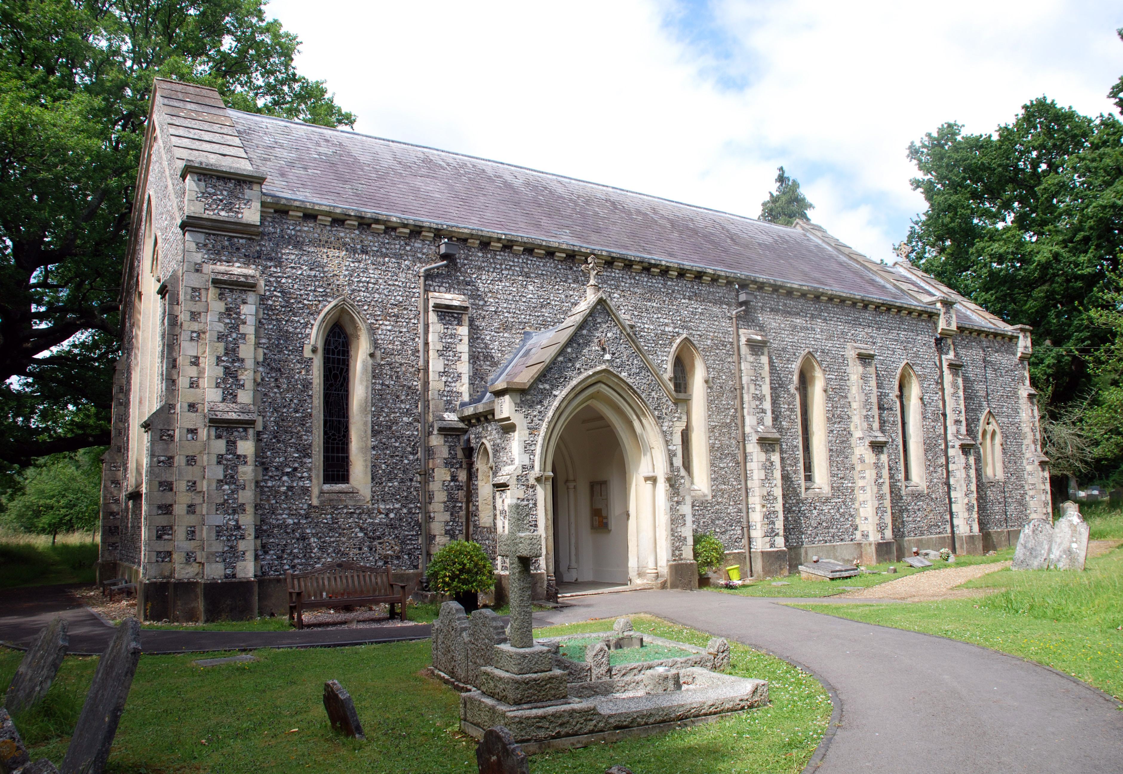
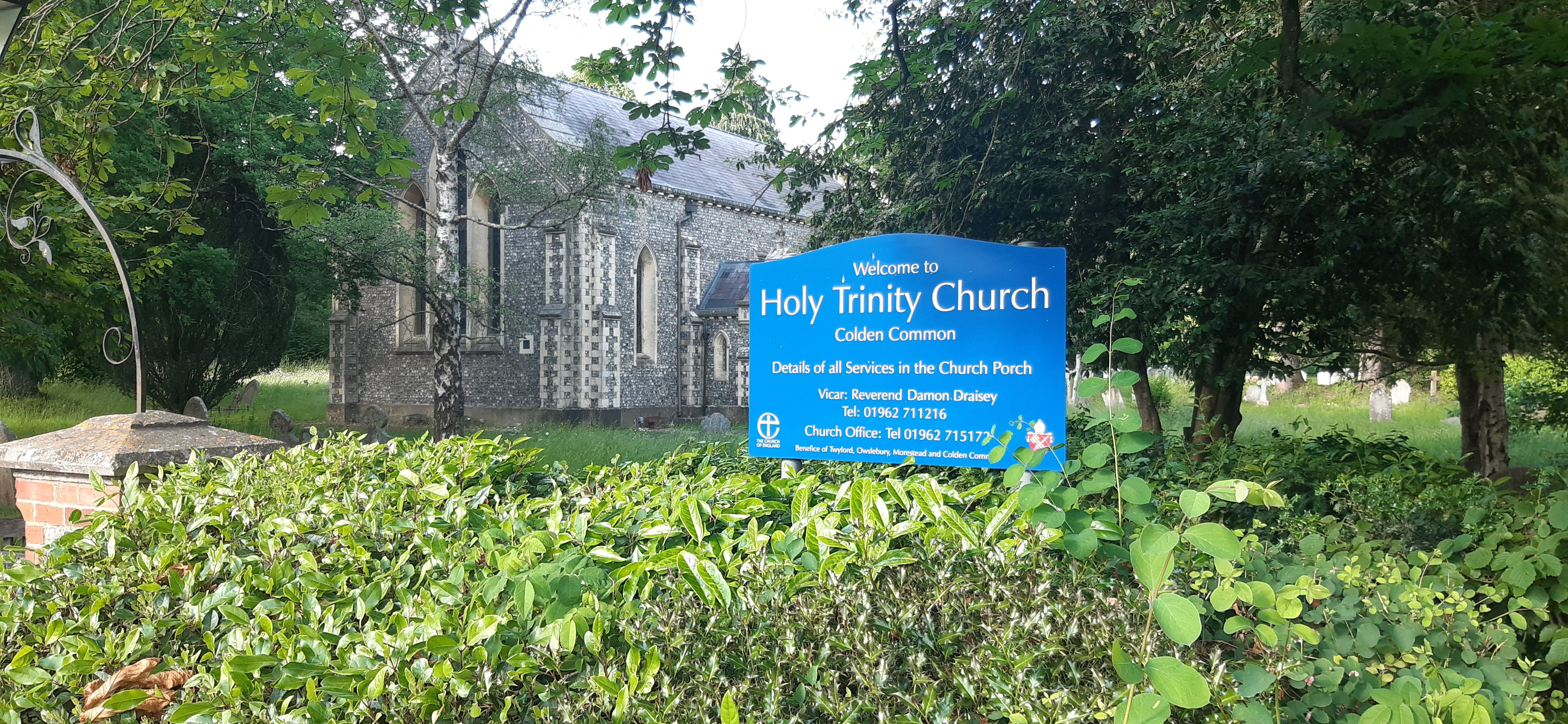
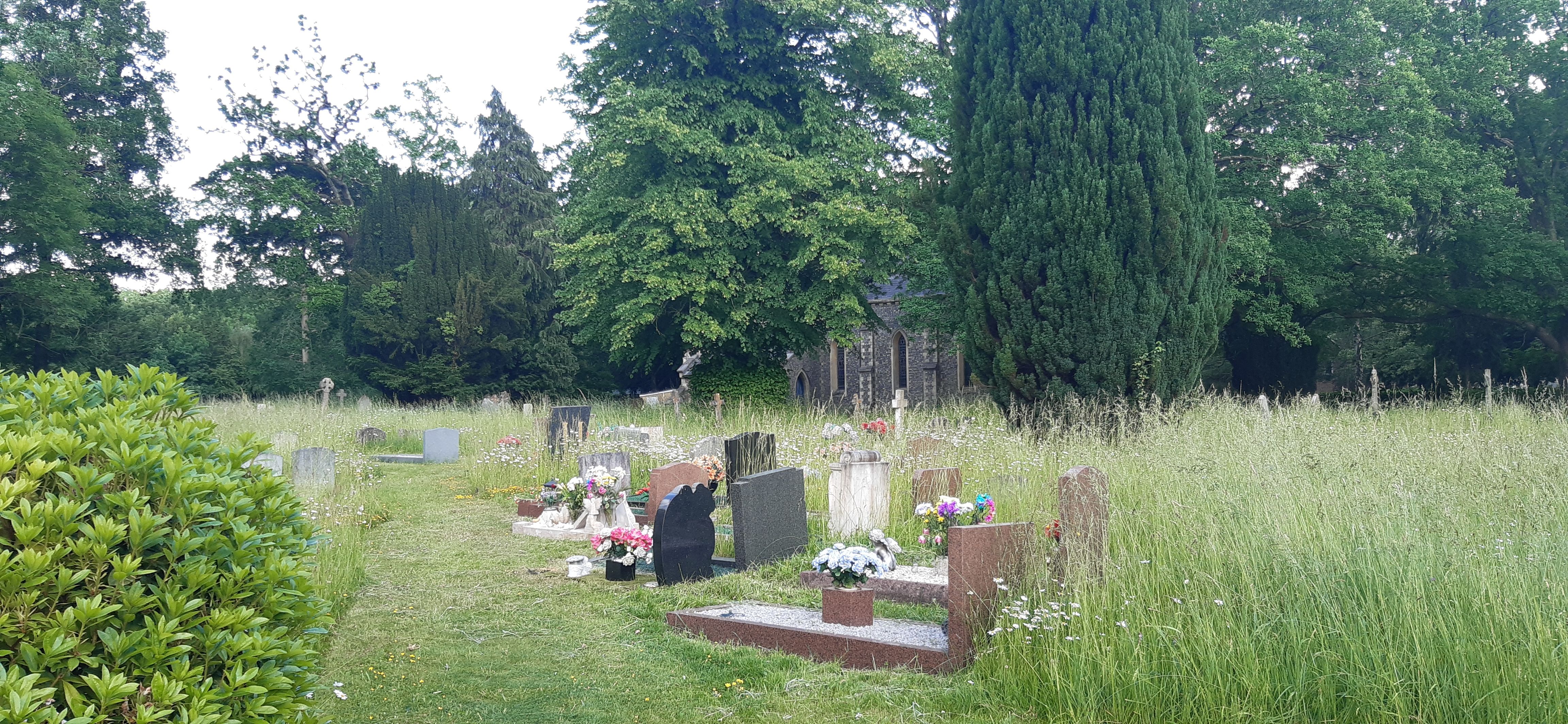
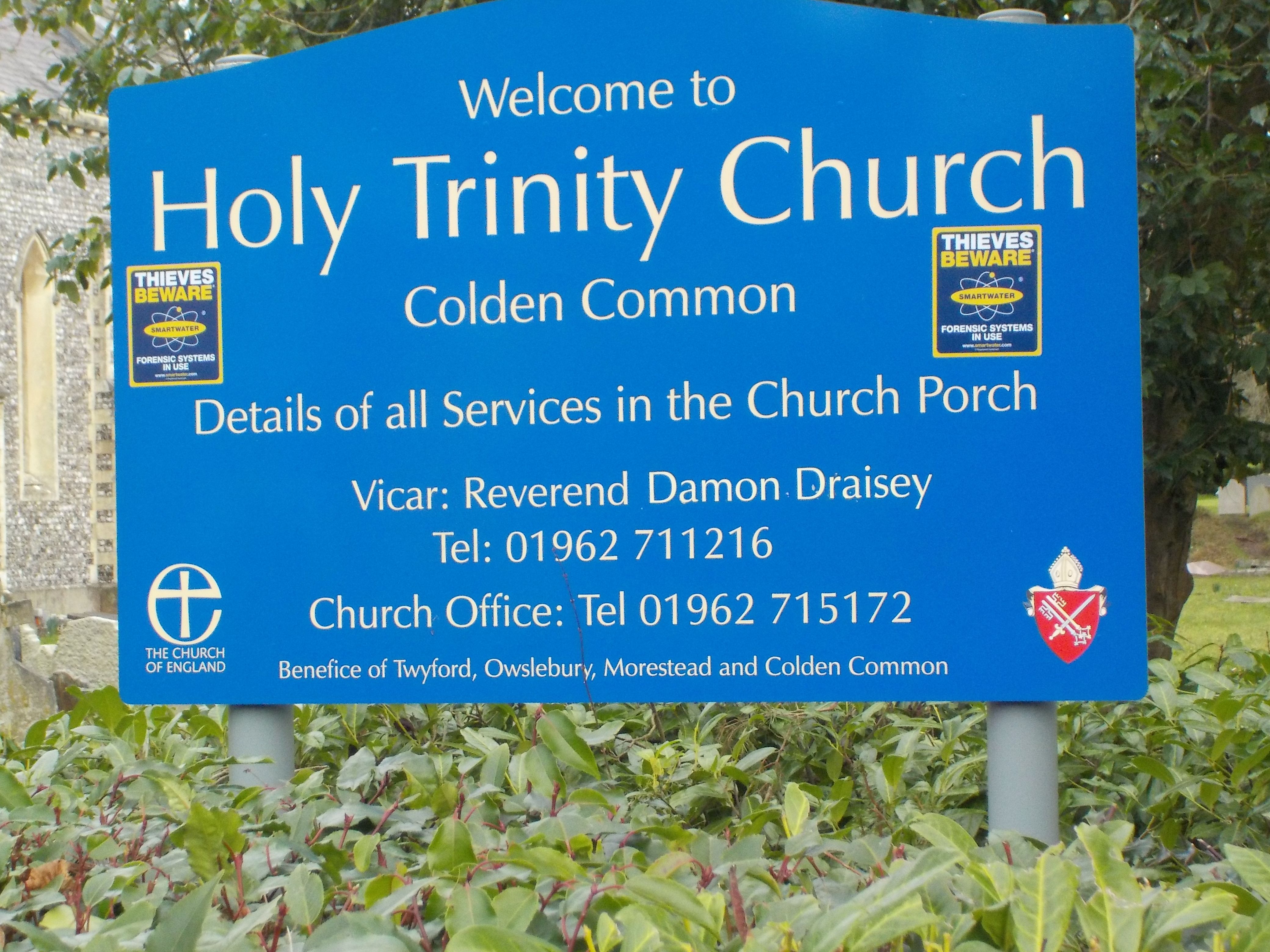
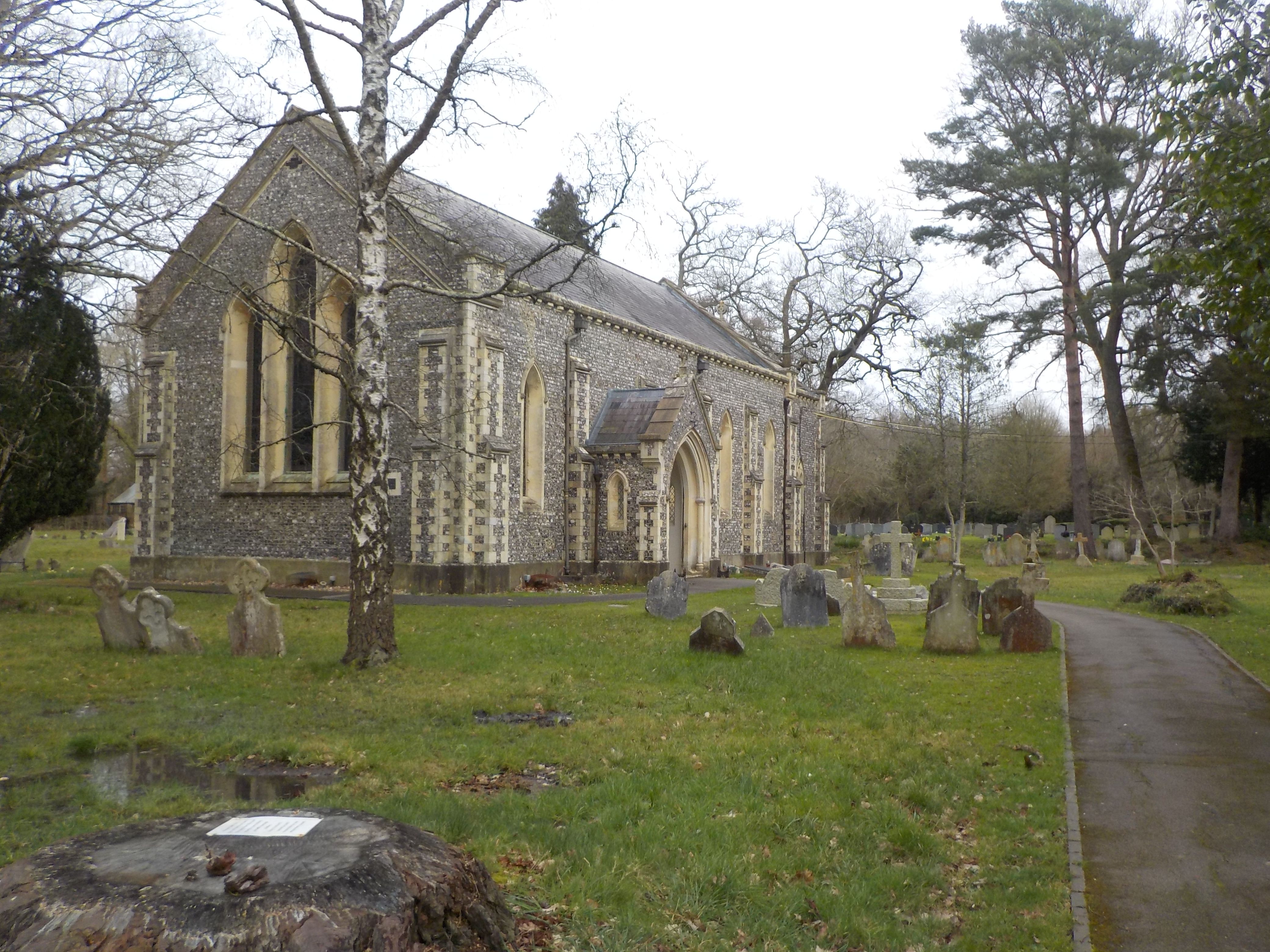
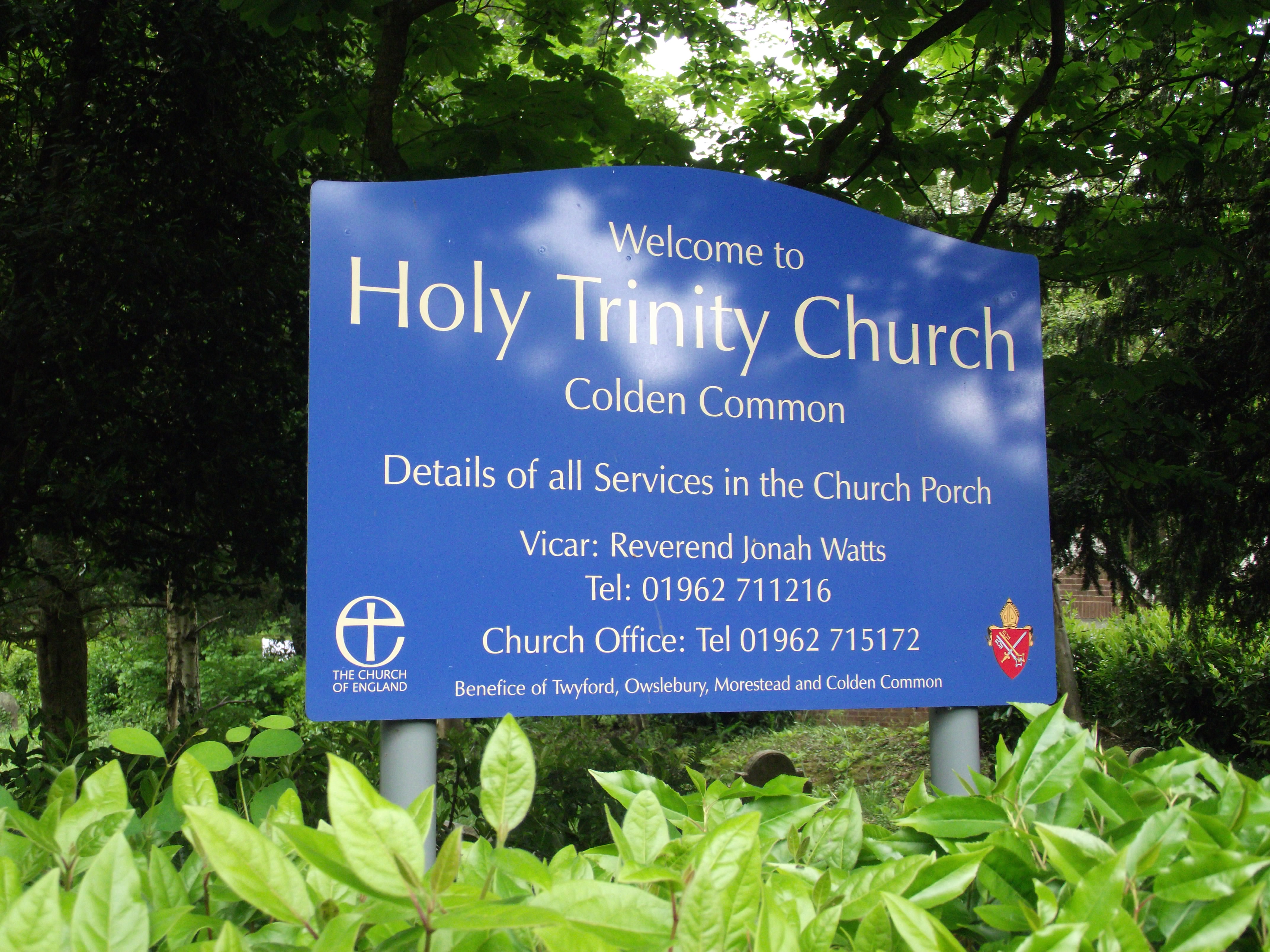
Where is Holy Trinity Churchyard?
Holy Trinity Churchyard is located at Main Road Colden Common, City of Winchester ,Hampshire , SO21 1TLEngland.
-
Holy Trinity Churchyard cemetery's updated grave count on graveviews.com?
997 memorials
-
Where are the coordinates of the Holy Trinity Churchyard?
Latitude: 50.9912400
Longitude: -1.3087900
Nearby Cemetories:
1. Bishopstoke Cemetery
Bishopstoke, Eastleigh Borough, England
Coordinate: 50.9777740, -1.3272020
2. St. Matthew's Old Graveyard
Winchester, City of Winchester, England
Coordinate: 51.0015670, -1.3383760
3. St Mary Churchyard
Bishopstoke, Eastleigh Borough, England
Coordinate: 50.9760650, -1.3358720
4. St Thomas Churchyard
Fair Oak, Eastleigh Borough, England
Coordinate: 50.9651300, -1.2966400
5. St. Matthew's Churchyard
Otterbourne, City of Winchester, England
Coordinate: 51.0030630, -1.3503880
6. Fair Oak Cemetery
Fair Oak, Eastleigh Borough, England
Coordinate: 50.9615900, -1.2979800
7. St. Andrew's Churchyard
Owslebury, City of Winchester, England
Coordinate: 51.0076500, -1.2675110
8. St Mary Churchyard
Twyford, City of Winchester, England
Coordinate: 51.0229070, -1.3150980
9. Eastleigh Cemetery
Eastleigh, Eastleigh Borough, England
Coordinate: 50.9724710, -1.3612860
10. All Saints Churchyard
Compton, City of Winchester, England
Coordinate: 51.0282700, -1.3342680
11. Morestead Churchyard
Morestead, City of Winchester, England
Coordinate: 51.0265040, -1.2747190
12. Hampshire Fire and Rescue Garden of Remembrance
Eastleigh, Eastleigh Borough, England
Coordinate: 50.9728200, -1.3710200
13. Holy Cross Churchyard
Durley, City of Winchester, England
Coordinate: 50.9500800, -1.2822000
14. Blessed Mary Churchyard
Upham, City of Winchester, England
Coordinate: 50.9823000, -1.2341600
15. Pine Road Cemetery
Chandlers Ford, Eastleigh Borough, England
Coordinate: 50.9969590, -1.3904110
16. Ramalley Cemetery
Chandlers Ford, Eastleigh Borough, England
Coordinate: 50.9912950, -1.3914870
17. Wessex Vale Crematorium
West End, Eastleigh Borough, England
Coordinate: 50.9376550, -1.3054100
18. St Nicolas Churchyard
North Stoneham, Eastleigh Borough, England
Coordinate: 50.9535160, -1.3741760
19. West End Cemetery and Memorial Gardens
West End, Eastleigh Borough, England
Coordinate: 50.9342600, -1.3316300
20. Hursley Church Cemetery
Hursley, City of Winchester, England
Coordinate: 51.0250150, -1.3877460
21. St Andrew Churchyard
Chilcomb, City of Winchester, England
Coordinate: 51.0484630, -1.2779550
22. St Faith Churchyard
Winchester, City of Winchester, England
Coordinate: 51.0523000, -1.3211000
23. All Saints Churchyard
Hursley, City of Winchester, England
Coordinate: 51.0253320, -1.3914090
24. South Stoneham Cemetery
Swaythling, Southampton Unitary Authority, England
Coordinate: 50.9401030, -1.3660260