| Memorials | : | 16 |
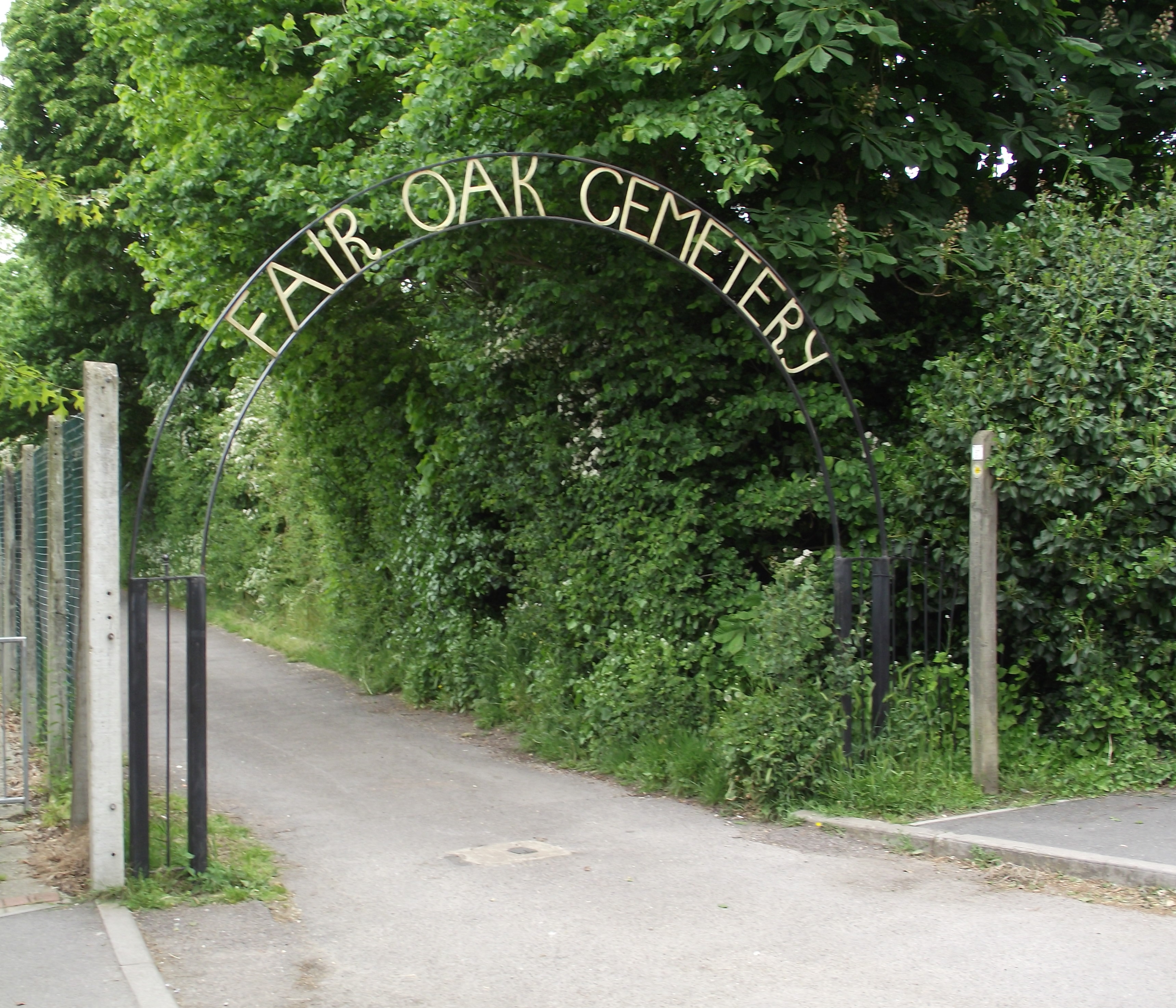
| Location | : | Fair Oak, Eastleigh Borough, England |
| Coordinate | : | 50.9615900, -1.2979800 |
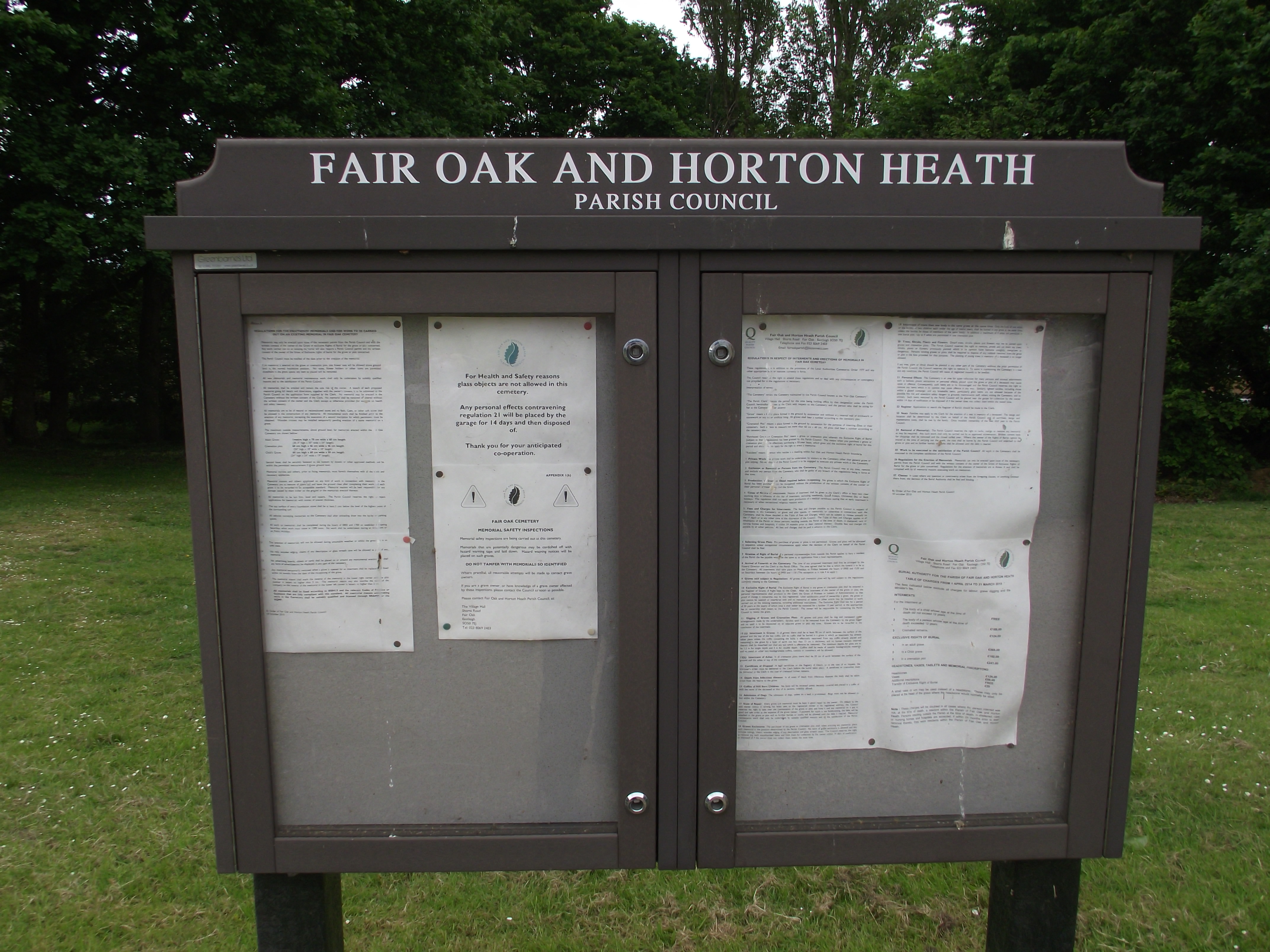
| Description | : | Fair Oak, Hampshire is a large village on the outskirts of Eastleigh, and near Southampton and Winchester. Fair Oak takes its name from a tree in the Square which was felled and replaced on 30 February 1843. The central church of St Thomas was originally built in 1863 to serve as a chapel of ease.At this time the village was part of the parish of Bishopstoke with its church of St Mary; the present parish was created in 1871. The church, St.Thomas has been designated a beacon church for the Winchester diocese. Fair Oak and Horton Heath Parish Council act as the burial authority... Read More |
frequently asked questions (FAQ):
-
Where is Fair Oak Cemetery?
Fair Oak Cemetery is located at Fair Oak, Eastleigh Borough ,Hampshire ,England.
-
Fair Oak Cemetery cemetery's updated grave count on graveviews.com?
0 memorials
-
Where are the coordinates of the Fair Oak Cemetery?
Latitude: 50.9615900
Longitude: -1.2979800
Nearby Cemetories:
1. St Thomas Churchyard
Fair Oak, Eastleigh Borough, England
Coordinate: 50.9651300, -1.2966400
2. Holy Cross Churchyard
Durley, City of Winchester, England
Coordinate: 50.9500800, -1.2822000
3. Wessex Vale Crematorium
West End, Eastleigh Borough, England
Coordinate: 50.9376550, -1.3054100
4. Bishopstoke Cemetery
Bishopstoke, Eastleigh Borough, England
Coordinate: 50.9777740, -1.3272020
5. St Mary Churchyard
Bishopstoke, Eastleigh Borough, England
Coordinate: 50.9760650, -1.3358720
6. Holy Trinity Churchyard
Colden Common, City of Winchester, England
Coordinate: 50.9912400, -1.3087900
7. West End Cemetery and Memorial Gardens
West End, Eastleigh Borough, England
Coordinate: 50.9342600, -1.3316300
8. St. James' Church Cemetery
West End, Eastleigh Borough, England
Coordinate: 50.9267690, -1.3326580
9. Eastleigh Cemetery
Eastleigh, Eastleigh Borough, England
Coordinate: 50.9724710, -1.3612860
10. St James Churchyard
West End, Eastleigh Borough, England
Coordinate: 50.9243200, -1.3382300
11. Blessed Mary Churchyard
Upham, City of Winchester, England
Coordinate: 50.9823000, -1.2341600
12. Hampshire Fire and Rescue Garden of Remembrance
Eastleigh, Eastleigh Borough, England
Coordinate: 50.9728200, -1.3710200
13. St. Matthew's Old Graveyard
Winchester, City of Winchester, England
Coordinate: 51.0015670, -1.3383760
14. South Stoneham Cemetery
Swaythling, Southampton Unitary Authority, England
Coordinate: 50.9401030, -1.3660260
15. St Nicolas Churchyard
North Stoneham, Eastleigh Borough, England
Coordinate: 50.9535160, -1.3741760
16. White Fathers' Priory Graveyard
City of Winchester, England
Coordinate: 50.9533740, -1.2216990
17. All Saints Churchyard
Botley, Eastleigh Borough, England
Coordinate: 50.9143000, -1.2737000
18. St Peter Churchyard
Curdridge, City of Winchester, England
Coordinate: 50.9219470, -1.2499850
19. St. Andrew's Churchyard
Owslebury, City of Winchester, England
Coordinate: 51.0076500, -1.2675110
20. St. Matthew's Churchyard
Otterbourne, City of Winchester, England
Coordinate: 51.0030630, -1.3503880
21. St John the Evangelist Churchyard
Hedge End, Eastleigh Borough, England
Coordinate: 50.9089200, -1.3091100
22. St. Mary's Churchyard
Swaythling, Southampton Unitary Authority, England
Coordinate: 50.9367800, -1.3752300
23. Albert Road Cemetery
Hedge End, Eastleigh Borough, England
Coordinate: 50.9066535, -1.3099266
24. Redcote Convent Cemetery
Bitterne, Southampton Unitary Authority, England
Coordinate: 50.9168600, -1.3510700


