
| Memorials | : | 264 |
| Location | : | Swaythling, Southampton Unitary Authority, England |
| Coordinate | : | 50.9401030, -1.3660260 |
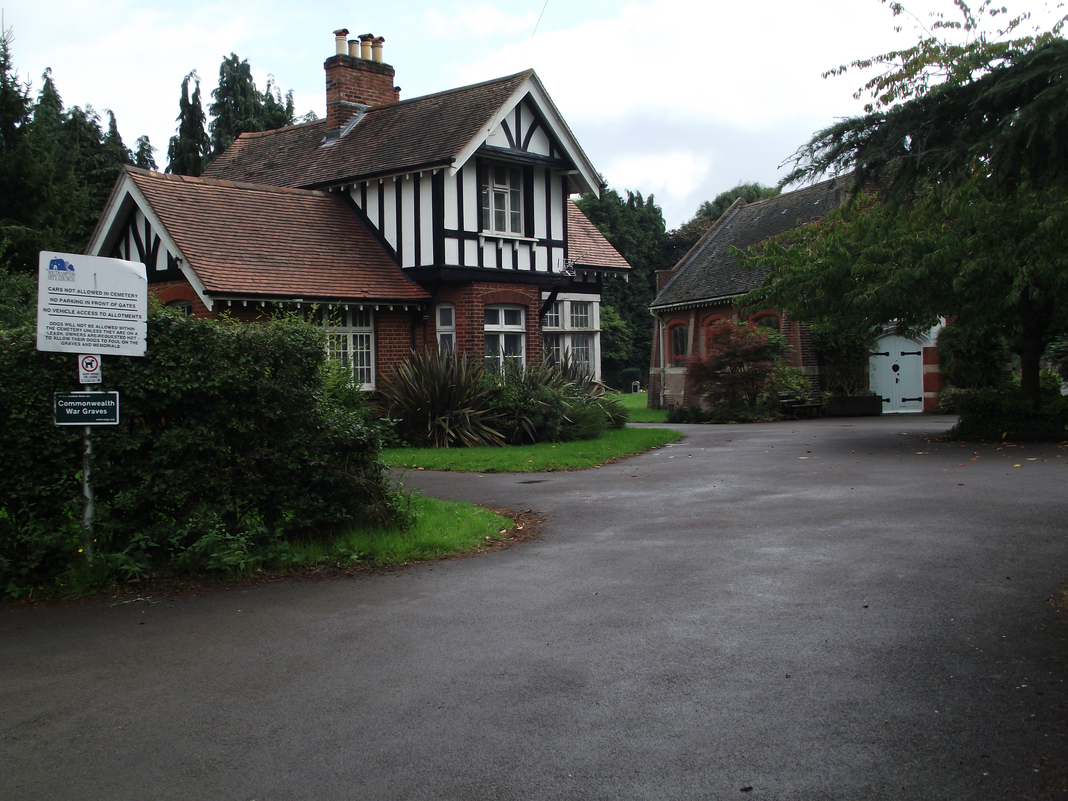
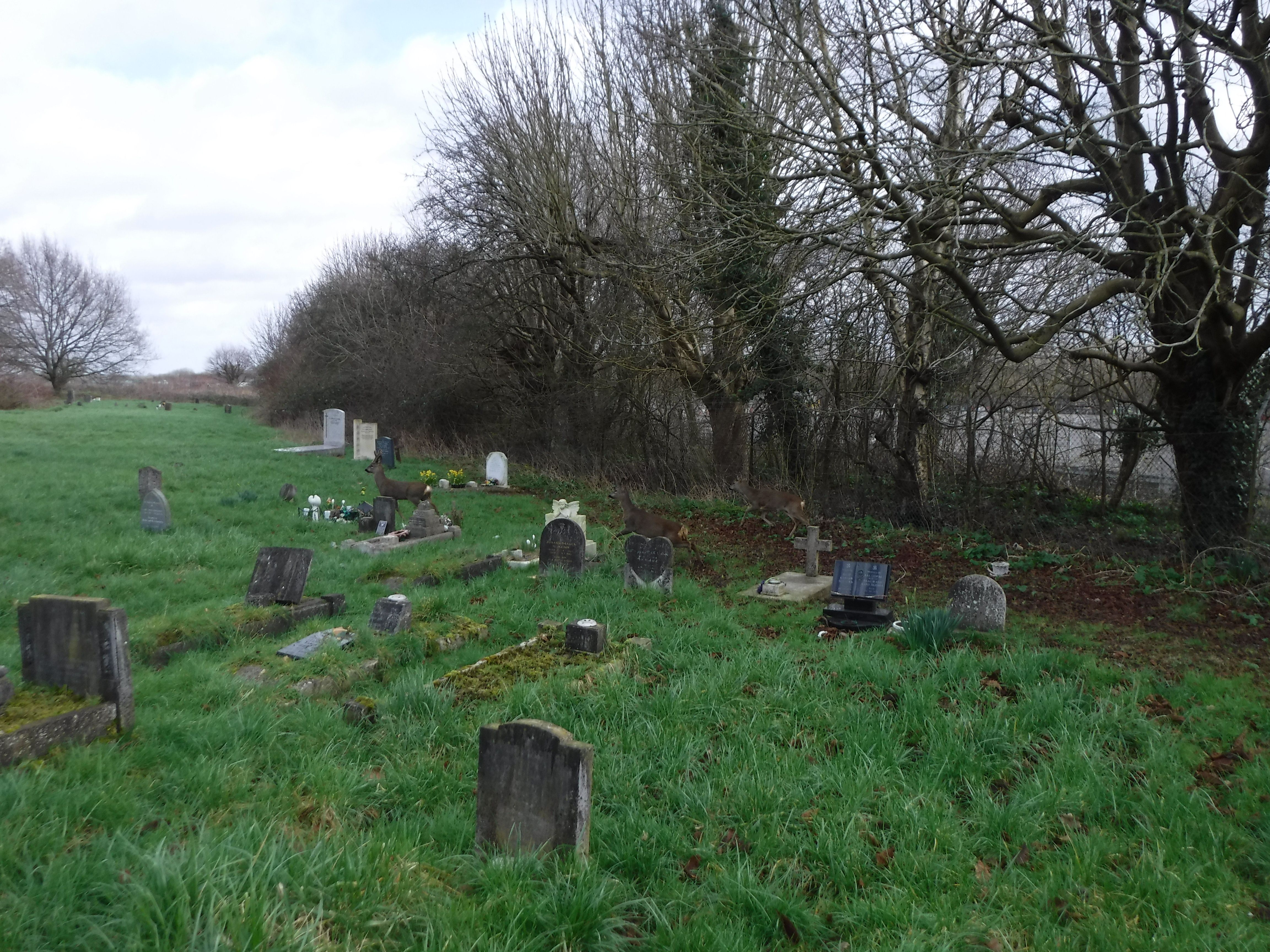
| Description | : | Located in the Swaythling district of Southampton and operated by the Southampton City Council, the first burial took place on 4 Feb 1905. A crematorium was opened on this site in 1932 but by the 1960s was becoming inadequate and obsolete. As a result, Southampton City Council opened a new crematorium on Bassett Green Road in October 1973. The original South Stoneham Crematorium was closed in 1973 and the buildings were demolished during the construction of a new motorway. The original Garden of Rest was relocated on a strip of allotment land adjacent to the South Stoneham Cemetery. The... Read More |
frequently asked questions (FAQ):
-
Where is South Stoneham Cemetery?
South Stoneham Cemetery is located at Stoneham Cemetery Road, Swaythling district Swaythling, Southampton Unitary Authority ,Hampshire , SO18 2NFEngland.
-
South Stoneham Cemetery cemetery's updated grave count on graveviews.com?
264 memorials
-
Where are the coordinates of the South Stoneham Cemetery?
Latitude: 50.9401030
Longitude: -1.3660260


Nearby Cemetories:
1. St. Mary's Churchyard
Swaythling, Southampton Unitary Authority, England
Coordinate: 50.9367800, -1.3752300
2. St Nicolas Churchyard
North Stoneham, Eastleigh Borough, England
Coordinate: 50.9535160, -1.3741760
3. Southampton Crematorium and Garden of Remembrance
Southampton, Southampton Unitary Authority, England
Coordinate: 50.9471770, -1.3899120
4. Highfield Churchyard
Portswood, Southampton Unitary Authority, England
Coordinate: 50.9295400, -1.3949800
5. West End Cemetery and Memorial Gardens
West End, Eastleigh Borough, England
Coordinate: 50.9342600, -1.3316300
6. St James Churchyard
West End, Eastleigh Borough, England
Coordinate: 50.9243200, -1.3382300
7. St. James' Church Cemetery
West End, Eastleigh Borough, England
Coordinate: 50.9267690, -1.3326580
8. Redcote Convent Cemetery
Bitterne, Southampton Unitary Authority, England
Coordinate: 50.9168600, -1.3510700
9. Holy Saviour Churchyard
Bitterne, Southampton Unitary Authority, England
Coordinate: 50.9138840, -1.3583560
10. Eastleigh Cemetery
Eastleigh, Eastleigh Borough, England
Coordinate: 50.9724710, -1.3612860
11. Hampshire Fire and Rescue Garden of Remembrance
Eastleigh, Eastleigh Borough, England
Coordinate: 50.9728200, -1.3710200
12. Southampton Old Cemetery
Southampton, Southampton Unitary Authority, England
Coordinate: 50.9202900, -1.4130650
13. St. Mary Extra Churchyard
Southampton, Southampton Unitary Authority, England
Coordinate: 50.9040000, -1.3743000
14. Wessex Vale Crematorium
West End, Eastleigh Borough, England
Coordinate: 50.9376550, -1.3054100
15. St Mary Churchyard
Bishopstoke, Eastleigh Borough, England
Coordinate: 50.9760650, -1.3358720
16. St Mary Churchyard
Sholing, Southampton Unitary Authority, England
Coordinate: 50.8991260, -1.3571350
17. St. James by the Park Cemetery
Southampton Unitary Authority, England
Coordinate: 50.9267988, -1.4283898
18. Hollybrook War Memorial
Southampton, Southampton Unitary Authority, England
Coordinate: 50.9337420, -1.4311350
19. Hollybrook Cemetery
Southampton, Southampton Unitary Authority, England
Coordinate: 50.9340680, -1.4312970
20. St James by the Park Churchyard
Shirley, Southampton Unitary Authority, England
Coordinate: 50.9266800, -1.4285800
21. St Mary Churchyard
Southampton, Southampton Unitary Authority, England
Coordinate: 50.9027100, -1.3960800
22. St. Deny's Churchyard
Chilworth, Test Valley Borough, England
Coordinate: 50.9669770, -1.4226050
23. Bishopstoke Cemetery
Bishopstoke, Eastleigh Borough, England
Coordinate: 50.9777740, -1.3272020
24. All Saints Catacombs and Burial Ground (Defunct)
Southampton, Southampton Unitary Authority, England
Coordinate: 50.9013350, -1.4021500