
| Memorials | : | 6 |
| Location | : | Aberdeen, Bingham County, USA |
| Coordinate | : | 42.9075012, -112.8880997 |
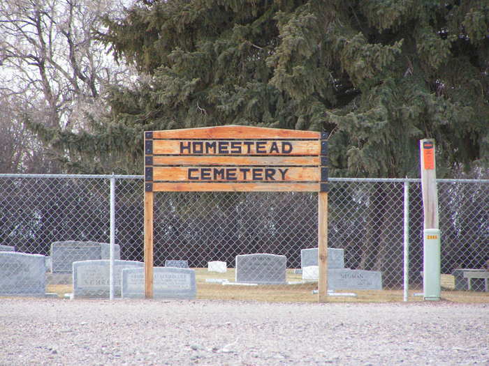
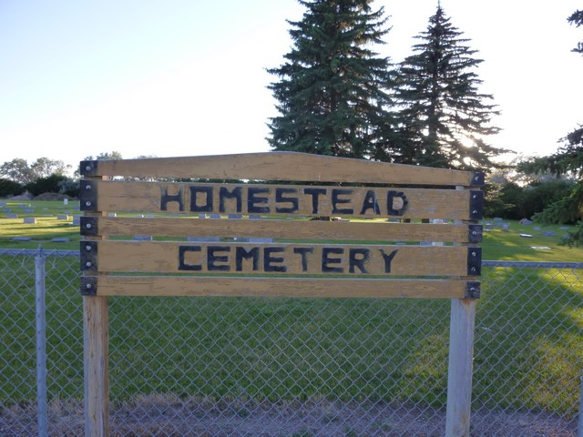
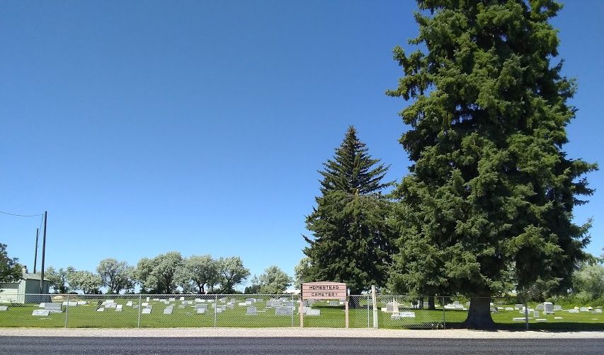
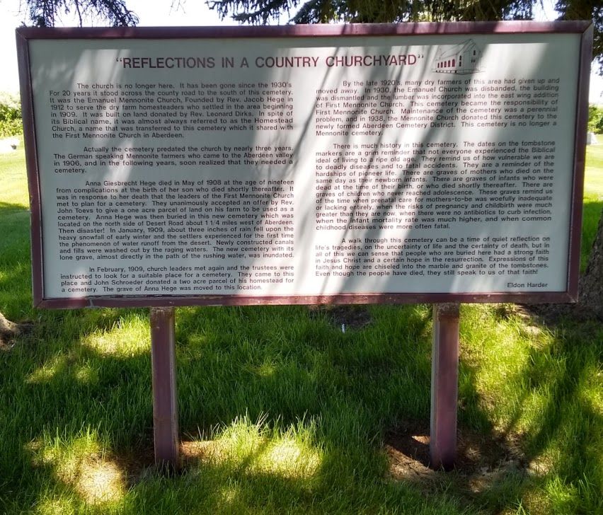
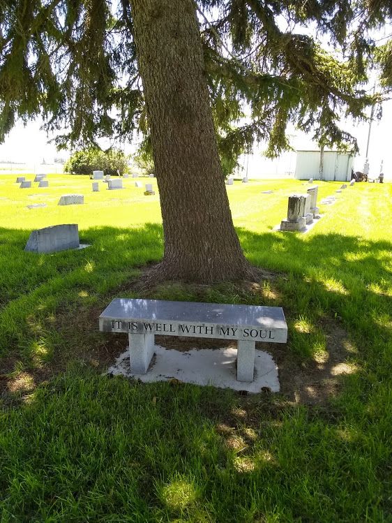
| Description | : | The Homestead (or Mennonite) Cemetery is located two miles south of Aberdeen and then two miles west on Funk Road. The earliest recorded burial is that of Anna Giesbreckt Hege, age 19, in the year 1908. There were no more recorded deaths until the year 1911. The Aberdeen Cemetery Maintenance District cares for the cemetery. |
frequently asked questions (FAQ):
-
Where is Homestead Cemetery?
Homestead Cemetery is located at Aberdeen, Bingham County ,Idaho ,USA.
-
Homestead Cemetery cemetery's updated grave count on graveviews.com?
4 memorials
-
Where are the coordinates of the Homestead Cemetery?
Latitude: 42.9075012
Longitude: -112.8880997
Nearby Cemetories:
1. Aberdeen Cemetery
Aberdeen, Bingham County, USA
Coordinate: 42.9423700, -112.8218800
2. Chief Pocatello Burial Site
American Falls, Power County, USA
Coordinate: 42.9177150, -112.7375790
3. Falls View Cemetery
American Falls, Power County, USA
Coordinate: 42.7717018, -112.8719025
4. Evangelical Lutheran Cemetery
American Falls, Power County, USA
Coordinate: 42.8489060, -113.0614740
5. Family Life Center Cemetery
Bannock County, USA
Coordinate: 42.8926100, -112.6411500
6. Neeley Cemetery
American Falls, Power County, USA
Coordinate: 42.7256012, -112.9088974
7. Bannock Creek Cemetery
Power County, USA
Coordinate: 42.8806000, -112.6316986
8. Springfield-Sterling Cemetery
Springfield, Bingham County, USA
Coordinate: 43.0807991, -112.6712036
9. Cedars Cemetery
Fort Hall, Bingham County, USA
Coordinate: 42.9664800, -112.5528900
10. Cedar Cemetery
Bannock County, USA
Coordinate: 42.9675000, -112.5525000
11. Valley View Cemetery
Rockland, Power County, USA
Coordinate: 42.5704000, -112.8670500
12. Mountain View Cemetery
Pocatello, Bannock County, USA
Coordinate: 42.8558589, -112.4311120
13. Sand Hill Cemetery
Fort Hall, Bingham County, USA
Coordinate: 43.0499600, -112.4653200
14. Restlawn Memorial Gardens
Pocatello, Bannock County, USA
Coordinate: 42.8460800, -112.4163600
15. Good Shepherd Cemetery
Fort Hall, Bingham County, USA
Coordinate: 43.0260500, -112.4269000
16. Kutch Family Cemetery
Fort Hall, Bingham County, USA
Coordinate: 43.0240000, -112.3845000
17. Riverside-Thomas Cemetery
Blackfoot, Bingham County, USA
Coordinate: 43.1972008, -112.4839020
18. Pauline Cemetery
Power County, USA
Coordinate: 42.5609000, -112.5605500
19. Gibson Cemetery
Fort Hall, Bingham County, USA
Coordinate: 43.1267014, -112.3818970
20. Moreland Cemetery
Moreland, Bingham County, USA
Coordinate: 43.2271996, -112.4692001
21. Minidoka Cemetery
Minidoka, Minidoka County, USA
Coordinate: 42.7535000, -113.4859000
22. Raft River Cemetery
Raft River, Cassia County, USA
Coordinate: 42.5094300, -113.2143800
23. Heglar Cemetery
Cassia County, USA
Coordinate: 42.4757800, -113.1403400
24. Ross Fork Cemeteries
Fort Hall, Bingham County, USA
Coordinate: 43.0475006, -112.2746964