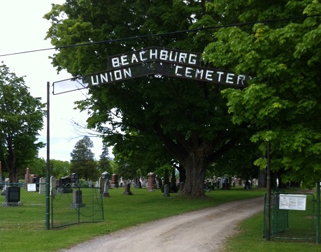
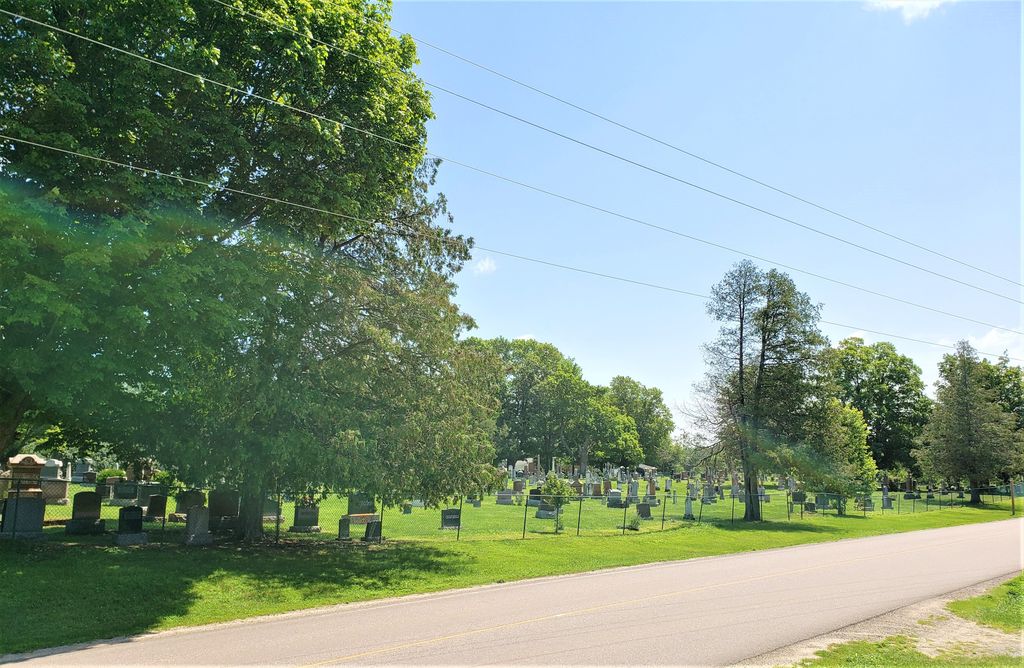
| Memorials | : | 196 |
| Location | : | Beachburg, Renfrew County, Canada |
| Coordinate | : | 45.7300987, -76.8577194 |
| Description | : | The Beachburg Union Cemetery is East of Pembroke and East of Highway 17. When driving from Pembroke on Hwy 21 you would approach the town of Beachburg from the west. The cemetery is in the middle of town, south of the Main Street and well signed. |
frequently asked questions (FAQ):
-
Where is Beachburg Union Cemetery?
Beachburg Union Cemetery is located at Beachburg, Renfrew County ,Ontario ,Canada.
-
Beachburg Union Cemetery cemetery's updated grave count on graveviews.com?
194 memorials
-
Where are the coordinates of the Beachburg Union Cemetery?
Latitude: 45.7300987
Longitude: -76.8577194
Nearby Cemetories:
1. St. Augustines Anglican
Westmeath, Renfrew County, Canada
Coordinate: 45.7306000, -76.8597000
2. St. Augustine Anglican Cemetery
Beachburg, Renfrew County, Canada
Coordinate: 45.7306000, -76.8597300
3. Beachburg Mennonite Cemetery
Beachburg, Renfrew County, Canada
Coordinate: 45.6751052, -76.8551953
4. Beachburg Mennonite Cemetery
Cobden, Renfrew County, Canada
Coordinate: 45.6728430, -76.8527980
5. Grace United Church Cemetery
Perretton, Renfrew County, Canada
Coordinate: 45.7556200, -76.9519100
6. Howard Cemetery
Foresters Falls, Renfrew County, Canada
Coordinate: 45.6787224, -76.7817764
7. Westmeath Union Cemetery
Westmeath, Renfrew County, Canada
Coordinate: 45.8145470, -76.8879170
8. McDonald Burying Ground
Westmeath, Renfrew County, Canada
Coordinate: 45.7178231, -77.0010204
9. Our Lady Of Mount Carmel Roman Catholic Cemetery
Westmeath, Renfrew County, Canada
Coordinate: 45.8133060, -76.7716770
10. Stafford United Church Cemetery
Cobden, Renfrew County, Canada
Coordinate: 45.7120380, -77.0029160
11. Saint Patricks Anglican Cemetery
Cobden, Renfrew County, Canada
Coordinate: 45.7103750, -77.0024870
12. Cobden Cemetery
Cobden, Renfrew County, Canada
Coordinate: 45.6171200, -76.8671200
13. Saint Andrew's Presbyterian Cemetery
Kerr Line, Renfrew County, Canada
Coordinate: 45.6479200, -76.7433600
14. Greenwood United Church Cemetery
Greenwood, Renfrew County, Canada
Coordinate: 45.7751000, -77.0136800
15. Saint Pius V Cemetery
Osceola, Renfrew County, Canada
Coordinate: 45.6257000, -76.9445000
16. Pioneer Cemetery
Osceola, Renfrew County, Canada
Coordinate: 45.6231291, -76.9430902
17. Dunraven United Church Cemetery
Dunraven, Outaouais Region, Canada
Coordinate: 45.7469270, -76.6679970
18. St. Pierre's Roman Catholic Cemetery
Fort-Coulonge, Outaouais Region, Canada
Coordinate: 45.8415370, -76.7383550
19. Micksburg United Cemetery
Micksburg, Renfrew County, Canada
Coordinate: 45.6615600, -77.0353000
20. Micksburg Presbyterian Cemetery
Micksburg, Renfrew County, Canada
Coordinate: 45.6705200, -77.0462600
21. Saint Stephen Anglican Cemetery
Micksburg, Renfrew County, Canada
Coordinate: 45.6759620, -77.0546720
22. St. Joseph's Roman Catholic Cemetery
Saint-Joseph, Outaouais Region, Canada
Coordinate: 45.8525000, -76.9905841
23. Ste. Kateri Cemetery
Mansfield-et-Pontefract, Outaouais Region, Canada
Coordinate: 45.8568220, -76.7197940
24. Haley Cemetery
Haley Station, Renfrew County, Canada
Coordinate: 45.5722300, -76.7880700


