
| Memorials | : | 6 |
| Location | : | Reedsville, Manitowoc County, USA |
| Coordinate | : | 44.1503000, -87.9634000 |
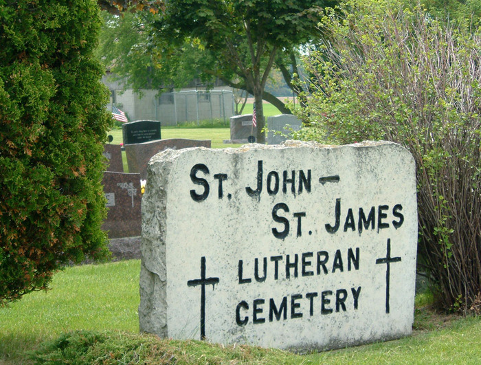
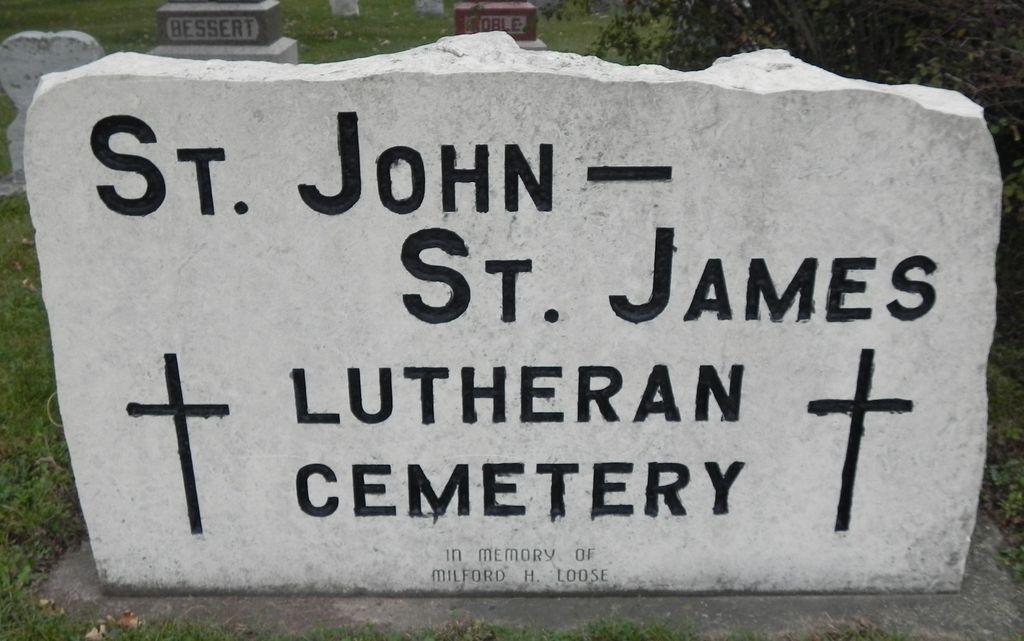
| Description | : | New Annex. There is a older Saint John-Saint James Lutheran cemetery behind the church on the East side of town. The cemetery is located on the east side of N County Road W about 0.2 miles south of its intersection with Manitowoc Street. |
frequently asked questions (FAQ):
-
Where is New Saint John-Saint James Lutheran Cemetery?
New Saint John-Saint James Lutheran Cemetery is located at N County Road W Reedsville, Manitowoc County ,Wisconsin , 54230USA.
-
New Saint John-Saint James Lutheran Cemetery cemetery's updated grave count on graveviews.com?
6 memorials
-
Where are the coordinates of the New Saint John-Saint James Lutheran Cemetery?
Latitude: 44.1503000
Longitude: -87.9634000
Nearby Cemetories:
1. New Saint Marys Catholic Church Cemetery
Reedsville, Manitowoc County, USA
Coordinate: 44.1467018, -87.9644012
2. Old Saint Marys Catholic Church Cemetery
Reedsville, Manitowoc County, USA
Coordinate: 44.1546211, -87.9610901
3. Old Saint John-Saint James Lutheran Cemetery
Reedsville, Manitowoc County, USA
Coordinate: 44.1515233, -87.9494782
4. Rockland EUB Cemetery
Reedsville, Manitowoc County, USA
Coordinate: 44.1383018, -87.9728012
5. Friedens United Church of Christ Cemetery
Reedsville, Manitowoc County, USA
Coordinate: 44.1636009, -87.9582977
6. Zion Evergreen Cemetery
Reedsville, Manitowoc County, USA
Coordinate: 44.1385994, -87.9428024
7. Saint Patrick Catholic Cemetery
Maple Grove, Manitowoc County, USA
Coordinate: 44.1876333, -87.9227500
8. Old Friedens Church Cemetery
Collins, Manitowoc County, USA
Coordinate: 44.0875540, -87.9846530
9. Cato Heights Cemetery
Cato, Manitowoc County, USA
Coordinate: 44.1394005, -87.8619003
10. Holy Trinity Cemetery
Maple Grove, Manitowoc County, USA
Coordinate: 44.2111015, -88.0346985
11. Holy Family Parish Cemetery
Brillion, Calumet County, USA
Coordinate: 44.1899986, -88.0599976
12. Trinity Lutheran Cemetery New
Brillion, Calumet County, USA
Coordinate: 44.1604100, -88.0738300
13. Brillion Community Cemetery
Brillion, Calumet County, USA
Coordinate: 44.1618880, -88.0737880
14. Trinity Lutheran Cemetery Old
Brillion, Calumet County, USA
Coordinate: 44.1641100, -88.0741100
15. Brillion Township Cemetery
Brillion, Calumet County, USA
Coordinate: 44.1642120, -88.0741630
16. Hubbard Cemetery
Whitelaw, Manitowoc County, USA
Coordinate: 44.1534900, -87.8510500
17. Brillion Village Cemetery
Brillion, Calumet County, USA
Coordinate: 44.1642160, -88.0742060
18. Saint Peters Evangelical Lutheran Cemetery
Collins, Manitowoc County, USA
Coordinate: 44.0686000, -87.9927000
19. Saint Marys Cemetery
Clarks Mills, Manitowoc County, USA
Coordinate: 44.0983009, -87.8647003
20. Emmanuel Evangelical Cemetery
Maple Grove, Manitowoc County, USA
Coordinate: 44.2256012, -88.0294037
21. Free German Cemetery
Potter, Calumet County, USA
Coordinate: 44.1236000, -88.0849991
22. Kasson-Evergreen Cemetery
Maple Grove, Manitowoc County, USA
Coordinate: 44.2324921, -88.0237094
23. Old Clark Mills Cemetery
Cato, Manitowoc County, USA
Coordinate: 44.0923600, -87.8609400
24. Saint Michaels Catholic Cemetery
Whitelaw, Manitowoc County, USA
Coordinate: 44.1446762, -87.8303757