
| Memorials | : | 0 |
| Location | : | Marshall County, USA |
| Coordinate | : | 34.0385510, -96.9400440 |
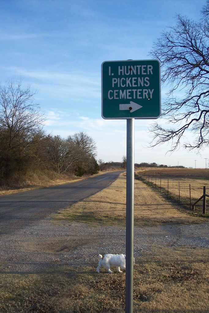
| Description | : | I. Hunter Pickens Cemetery is located south of the community of McMillan in Marshall County, Oklahoma. It is in Section 13, Township 6 South, Range 3 East. In 1875, I. Hunter Pickens (also sometimes spelled I. Hunta Pickens) founded the cemetery in his yard near the family home. The earliest burials included immediate members of the I. Hunter Pickens family. I. Hunter Pickens’s name meant “lover of home” or “one who didn’t want to leave home” in the Chickasaw language. However, to the white man’s ear, his name sounded like “Iyahunta” and he adopted that approximate spelling. He was the... Read More |
frequently asked questions (FAQ):
-
Where is I. Hunter Pickens Cemetery?
I. Hunter Pickens Cemetery is located at Marshall County ,Oklahoma ,USA.
-
I. Hunter Pickens Cemetery cemetery's updated grave count on graveviews.com?
0 memorials
-
Where are the coordinates of the I. Hunter Pickens Cemetery?
Latitude: 34.0385510
Longitude: -96.9400440

Nearby Cemetories:
1. Keel Cemetery
Madill, Marshall County, USA
Coordinate: 34.0330400, -96.9070270
2. Wallace Cemetery
McMillan, Marshall County, USA
Coordinate: 34.0699910, -96.9301240
3. Pickens Cemetery
McMillan, Marshall County, USA
Coordinate: 34.0722200, -96.9661100
4. McMillan Cemetery
McMillan, Marshall County, USA
Coordinate: 34.0847015, -96.9364014
5. Wright Cemetery
Enville, Love County, USA
Coordinate: 34.0088005, -96.9903107
6. Lebanon Cemetery
Lebanon, Marshall County, USA
Coordinate: 33.9876404, -96.9104233
7. Legate Cemetery
Hoxbar, Love County, USA
Coordinate: 34.0583000, -97.0117035
8. Enville Cemetery
Enville, Love County, USA
Coordinate: 33.9830894, -96.9800186
9. Burney Institute Cemetery
Marshall County, USA
Coordinate: 33.9839516, -96.8873978
10. Ran Cemetery
Enville, Love County, USA
Coordinate: 34.0155983, -97.0201416
11. Wilson Creek Cemetery
Carter County, USA
Coordinate: 34.1000750, -96.9812160
12. Graveyard Bluff Cemetery
Love County, USA
Coordinate: 33.9542740, -96.9764470
13. Powell Cemetery
Powell, Marshall County, USA
Coordinate: 33.9536700, -96.8698200
14. Love Cemetery
Love County, USA
Coordinate: 33.9874992, -97.0661011
15. Reid-Cross Cemetery
Love County, USA
Coordinate: 33.9861100, -97.0672200
16. Edwards Cemetery
Love County, USA
Coordinate: 34.0182991, -97.0802994
17. Durwood Cemetery
Madill, Marshall County, USA
Coordinate: 34.1565700, -96.9430200
18. Concord Cemetery
Carter County, USA
Coordinate: 34.1267300, -97.0520900
19. Rollins Cemetery
Simpson, Marshall County, USA
Coordinate: 34.1643982, -96.9011002
20. Howard Cemetery
Dexter, Cooke County, USA
Coordinate: 33.9114532, -96.9749451
21. Cedar Hill Cemetery
Marshall County, USA
Coordinate: 34.1444016, -96.8450012
22. Provence Cemetery
Ardmore, Carter County, USA
Coordinate: 34.1549988, -97.0211029
23. Nelda Cemetery
Durwood, Carter County, USA
Coordinate: 34.1749992, -96.9578018
24. Old Oakland Cemetery
Oakland, Marshall County, USA
Coordinate: 34.0994700, -96.7894000