
| Memorials | : | 0 |
| Location | : | Love County, USA |
| Coordinate | : | 33.9542740, -96.9764470 |
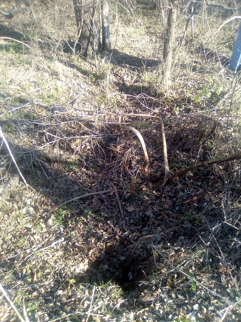
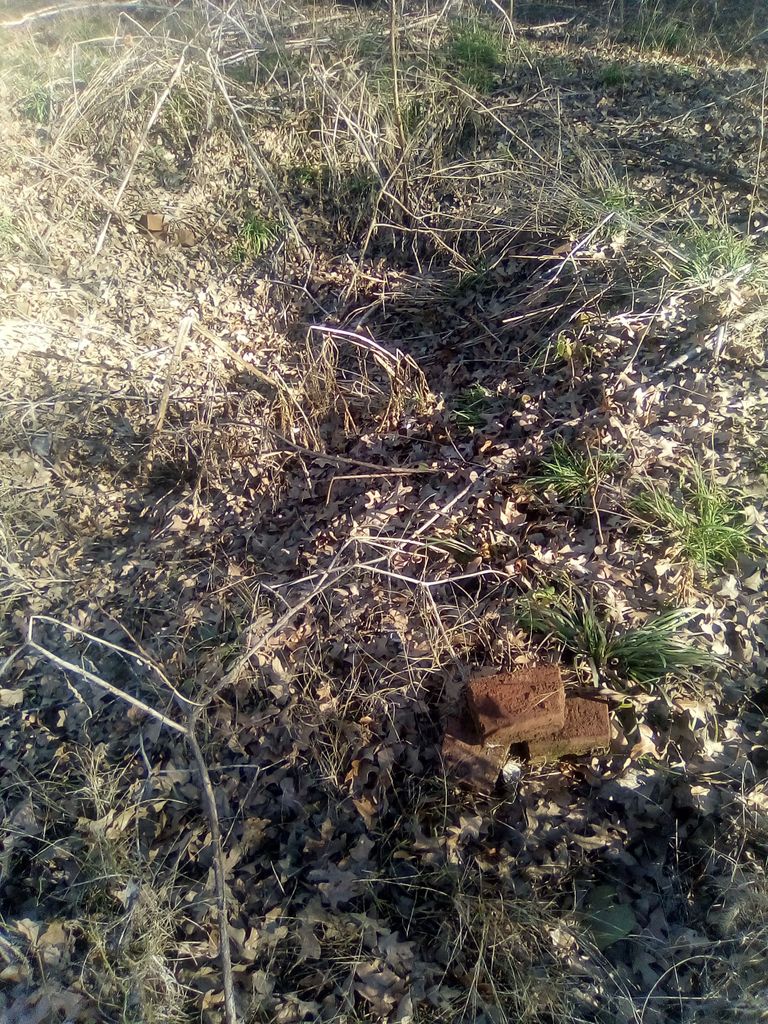
| Description | : | Graveyard Bluff is an island located in Lake Texoma in Love County, Oklahoma in Section 10, Township 7 South, Range 3 East. The island formed due to the construction of Denison Dam in 1944, which dammed the Red River and surrounded the area with water. Only the highest point remains dry as an island. Following the forced removal of the Chickasaws from their lands in the East, the Edmund Pickens family settled the area known as Graveyard Bluff. The Pickens family established their home and farm in the Red River Valley. They buried their loved ones on a high bluff... Read More |
frequently asked questions (FAQ):
-
Where is Graveyard Bluff Cemetery?
Graveyard Bluff Cemetery is located at Lake Texoma Love County ,Oklahoma , 73446USA.
-
Graveyard Bluff Cemetery cemetery's updated grave count on graveviews.com?
0 memorials
-
Where are the coordinates of the Graveyard Bluff Cemetery?
Latitude: 33.9542740
Longitude: -96.9764470
Nearby Cemetories:
1. Enville Cemetery
Enville, Love County, USA
Coordinate: 33.9830894, -96.9800186
2. Howard Cemetery
Dexter, Cooke County, USA
Coordinate: 33.9114532, -96.9749451
3. Wright Cemetery
Enville, Love County, USA
Coordinate: 34.0088005, -96.9903107
4. Lebanon Cemetery
Lebanon, Marshall County, USA
Coordinate: 33.9876404, -96.9104233
5. Ran Cemetery
Enville, Love County, USA
Coordinate: 34.0155983, -97.0201416
6. Burney Institute Cemetery
Marshall County, USA
Coordinate: 33.9839516, -96.8873978
7. Love Cemetery
Love County, USA
Coordinate: 33.9874992, -97.0661011
8. Reid-Cross Cemetery
Love County, USA
Coordinate: 33.9861100, -97.0672200
9. Loves Valley Cemetery
Love County, USA
Coordinate: 33.8746000, -97.0015200
10. Powell Cemetery
Powell, Marshall County, USA
Coordinate: 33.9536700, -96.8698200
11. I. Hunter Pickens Cemetery
Marshall County, USA
Coordinate: 34.0385510, -96.9400440
12. Mount Zion Cemetery
Grayson County, USA
Coordinate: 33.8694000, -96.9246979
13. Keel Cemetery
Madill, Marshall County, USA
Coordinate: 34.0330400, -96.9070270
14. Edwards Cemetery
Love County, USA
Coordinate: 34.0182991, -97.0802994
15. Legate Cemetery
Hoxbar, Love County, USA
Coordinate: 34.0583000, -97.0117035
16. Lakeview Cemetery
Marietta, Love County, USA
Coordinate: 33.9164009, -97.1061020
17. Pickens Cemetery
McMillan, Marshall County, USA
Coordinate: 34.0722200, -96.9661100
18. Old Shiloh Cemetery
Dexter, Cooke County, USA
Coordinate: 33.8375549, -96.9477615
19. Wallace Cemetery
McMillan, Marshall County, USA
Coordinate: 34.0699910, -96.9301240
20. Gardner's Whitetail Ranch Family Cemetery
Marietta, Love County, USA
Coordinate: 33.9629241, -97.1260738
21. Prairieview Cemetery
Marietta, Love County, USA
Coordinate: 33.9036500, -97.1179900
22. Dexter North Cemetery
Dexter, Cooke County, USA
Coordinate: 33.8223740, -96.9634330
23. Harvill-Rowe Cemetery
Whitesboro, Grayson County, USA
Coordinate: 33.8310680, -96.9138340
24. Black Cemetery
Gainesville, Cooke County, USA
Coordinate: 33.8330994, -97.0466995