
| Memorials | : | 0 |
| Location | : | Knob Noster, Johnson County, USA |
| Coordinate | : | 38.8275700, -93.5812000 |
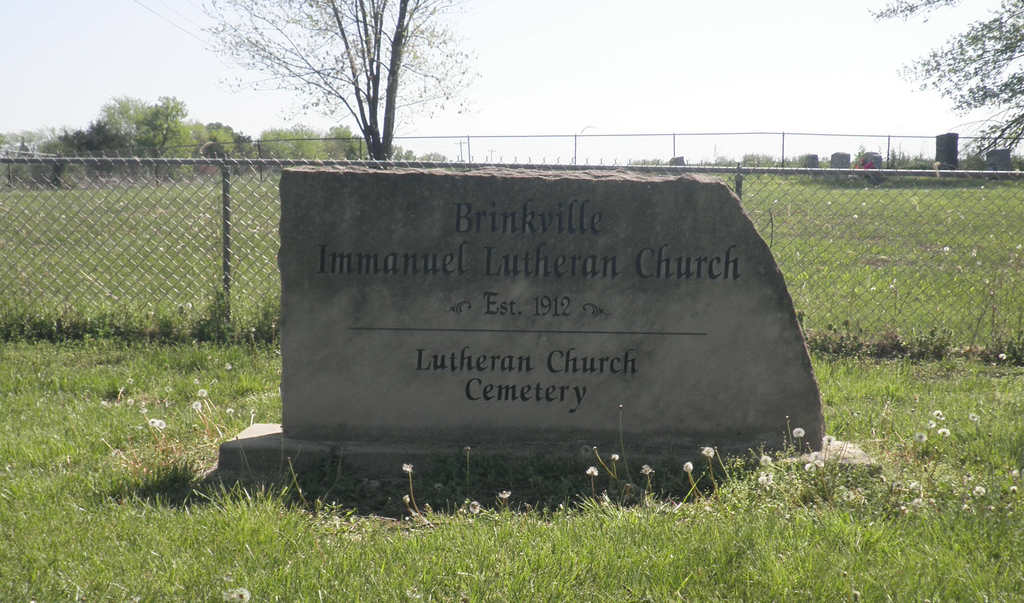
| Description | : | In Grover Township 4.5 miles north-northwest of Knob Noster on Route MM. The church was disbanded in 1997. |
frequently asked questions (FAQ):
-
Where is Immanuel Lutheran Cemetery?
Immanuel Lutheran Cemetery is located at Knob Noster, Johnson County ,Missouri ,USA.
-
Immanuel Lutheran Cemetery cemetery's updated grave count on graveviews.com?
0 memorials
-
Where are the coordinates of the Immanuel Lutheran Cemetery?
Latitude: 38.8275700
Longitude: -93.5812000
Nearby Cemetories:
1. Wampler Cemetery
Valley City, Johnson County, USA
Coordinate: 38.8286018, -93.5980988
2. Knaus Cemetery
Johnson County, USA
Coordinate: 38.7957993, -93.5755997
3. Hocker Cemetery
Knob Noster, Johnson County, USA
Coordinate: 38.8567009, -93.5413971
4. Marshall Cemetery
Warrensburg, Johnson County, USA
Coordinate: 38.8750000, -93.5586014
5. Rothwell Cemetery
Johnson County, USA
Coordinate: 38.8711010, -93.5410000
6. Southers Cemetery
Knob Noster, Johnson County, USA
Coordinate: 38.7967410, -93.5218050
7. Conner-Curnutt Cemetery
Montserrat, Johnson County, USA
Coordinate: 38.7863900, -93.6506200
8. Payne Cemetery
Dunksburg, Johnson County, USA
Coordinate: 38.8936005, -93.5541992
9. Saint Joseph Cemetery
Knob Noster, Johnson County, USA
Coordinate: 38.7599983, -93.5558014
10. Lea Cemetery
Johnson County, USA
Coordinate: 38.7641983, -93.6216965
11. Knob Noster Cemetery
Knob Noster, Johnson County, USA
Coordinate: 38.7655945, -93.5354004
12. Mayes Cemetery
Montserrat, Johnson County, USA
Coordinate: 38.7675018, -93.6455994
13. Gowin Cemetery
Dunksburg, Johnson County, USA
Coordinate: 38.8747550, -93.4994240
14. Adams Cemetery
Montserrat, Johnson County, USA
Coordinate: 38.7542000, -93.6311035
15. Fair Oak Cemetery
Warrensburg, Johnson County, USA
Coordinate: 38.8561500, -93.6822200
16. Moore Family Cemetery
La Monte, Pettis County, USA
Coordinate: 38.8034444, -93.4769722
17. Mount Zion Cemetery
Dunksburg, Johnson County, USA
Coordinate: 38.8913900, -93.4975490
18. County Line Cemetery
Blackwater Township, Pettis County, USA
Coordinate: 38.8394012, -93.4644012
19. Foster Cemetery
Johnson County, USA
Coordinate: 38.8932991, -93.6647034
20. Blackwater Chapel Cemetery
Houstonia, Pettis County, USA
Coordinate: 38.8908000, -93.4661600
21. Maxwell Cemetery
Warrensburg, Johnson County, USA
Coordinate: 38.7663994, -93.7014008
22. Saint Matthews Lutheran Church Cemetery
Ernestville, Lafayette County, USA
Coordinate: 38.9331100, -93.6310800
23. Poor Farm Cemetery
Warrensburg, Johnson County, USA
Coordinate: 38.7748230, -93.7089920
24. Granger Cemetery
Johnson County, USA
Coordinate: 38.8157997, -93.7285995