
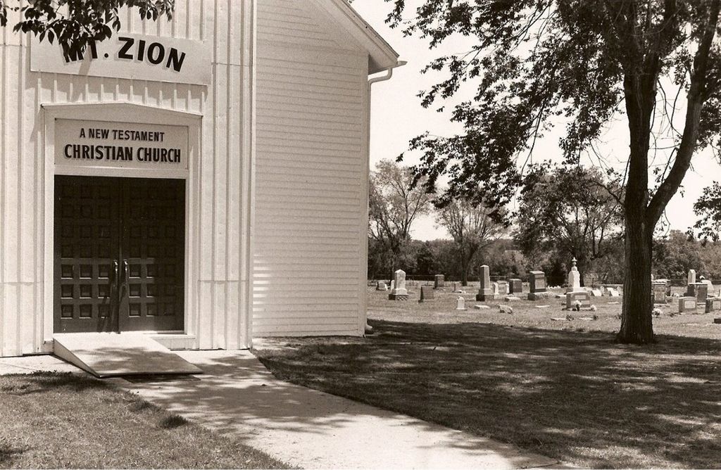
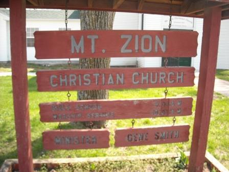
| Memorials | : | 9 |
| Location | : | Dunksburg, Johnson County, USA |
| Coordinate | : | 38.8913900, -93.4975490 |
frequently asked questions (FAQ):
-
Where is Mount Zion Cemetery?
Mount Zion Cemetery is located at Dunksburg, Johnson County ,Missouri ,USA.
-
Mount Zion Cemetery cemetery's updated grave count on graveviews.com?
8 memorials
-
Where are the coordinates of the Mount Zion Cemetery?
Latitude: 38.8913900
Longitude: -93.4975490
Nearby Cemetories:
1. Gowin Cemetery
Dunksburg, Johnson County, USA
Coordinate: 38.8747550, -93.4994240
2. Blackwater Chapel Cemetery
Houstonia, Pettis County, USA
Coordinate: 38.8908000, -93.4661600
3. Rothwell Cemetery
Johnson County, USA
Coordinate: 38.8711010, -93.5410000
4. Payne Cemetery
Dunksburg, Johnson County, USA
Coordinate: 38.8936005, -93.5541992
5. Hocker Cemetery
Knob Noster, Johnson County, USA
Coordinate: 38.8567009, -93.5413971
6. Marshall Cemetery
Warrensburg, Johnson County, USA
Coordinate: 38.8750000, -93.5586014
7. County Line Cemetery
Blackwater Township, Pettis County, USA
Coordinate: 38.8394012, -93.4644012
8. South Fork Cemetery
Pettis County, USA
Coordinate: 38.9169006, -93.4227982
9. Moore Family Cemetery
La Monte, Pettis County, USA
Coordinate: 38.8034444, -93.4769722
10. Evangelical Cemetery
Concordia, Lafayette County, USA
Coordinate: 38.9641991, -93.5674973
11. Concordia Baptist Cemetery
Concordia, Lafayette County, USA
Coordinate: 38.9641700, -93.5677100
12. Concordia Methodist Cemetery
Concordia, Lafayette County, USA
Coordinate: 38.9647268, -93.5668693
13. Immanuel Lutheran Cemetery
Knob Noster, Johnson County, USA
Coordinate: 38.8275700, -93.5812000
14. Holy Cross Lutheran Cemetery
Emma, Lafayette County, USA
Coordinate: 38.9828987, -93.4947662
15. Southers Cemetery
Knob Noster, Johnson County, USA
Coordinate: 38.7967410, -93.5218050
16. Wampler Cemetery
Valley City, Johnson County, USA
Coordinate: 38.8286018, -93.5980988
17. Saint John Cemetery
Emma, Lafayette County, USA
Coordinate: 38.9911003, -93.5211029
18. Fairview Cemetery
Sweet Springs, Saline County, USA
Coordinate: 38.9714012, -93.4135971
19. Saint Pauls Lutheran Cemetery
Concordia, Lafayette County, USA
Coordinate: 38.9896110, -93.5641850
20. Saint Matthews Lutheran Church Cemetery
Ernestville, Lafayette County, USA
Coordinate: 38.9331100, -93.6310800
21. Houstonia Cemetery
Houstonia, Pettis County, USA
Coordinate: 38.8941994, -93.3531036
22. Knaus Cemetery
Johnson County, USA
Coordinate: 38.7957993, -93.5755997
23. LaMonte Cemetery
La Monte, Pettis County, USA
Coordinate: 38.7821999, -93.4319000
24. Zoar Methodist Cemetery
Concordia, Lafayette County, USA
Coordinate: 38.9840400, -93.6031600