
| Memorials | : | 0 |
| Location | : | Knob Noster, Johnson County, USA |
| Coordinate | : | 38.7967410, -93.5218050 |
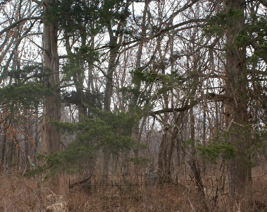
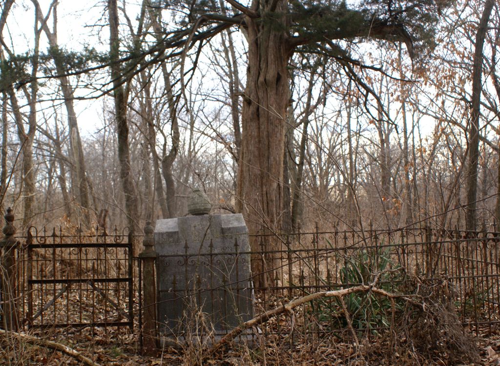
| Description | : | This is a very old and very small cemetery that is not accessible by road. It is located in the midst of a heavily wooded area at the rear of an 80 acre family farm. |
frequently asked questions (FAQ):
-
Where is Southers Cemetery?
Southers Cemetery is located at NE 1201 Rd.Township 46N Range 24W Knob Noster, Johnson County ,Missouri ,USA.
-
Southers Cemetery cemetery's updated grave count on graveviews.com?
0 memorials
-
Where are the coordinates of the Southers Cemetery?
Latitude: 38.7967410
Longitude: -93.5218050
Nearby Cemetories:
1. Knob Noster Cemetery
Knob Noster, Johnson County, USA
Coordinate: 38.7655945, -93.5354004
2. Moore Family Cemetery
La Monte, Pettis County, USA
Coordinate: 38.8034444, -93.4769722
3. Knaus Cemetery
Johnson County, USA
Coordinate: 38.7957993, -93.5755997
4. Saint Joseph Cemetery
Knob Noster, Johnson County, USA
Coordinate: 38.7599983, -93.5558014
5. Immanuel Lutheran Cemetery
Knob Noster, Johnson County, USA
Coordinate: 38.8275700, -93.5812000
6. County Line Cemetery
Blackwater Township, Pettis County, USA
Coordinate: 38.8394012, -93.4644012
7. Hocker Cemetery
Knob Noster, Johnson County, USA
Coordinate: 38.8567009, -93.5413971
8. Wampler Cemetery
Valley City, Johnson County, USA
Coordinate: 38.8286018, -93.5980988
9. LaMonte Cemetery
La Monte, Pettis County, USA
Coordinate: 38.7821999, -93.4319000
10. Rothwell Cemetery
Johnson County, USA
Coordinate: 38.8711010, -93.5410000
11. Gowin Cemetery
Dunksburg, Johnson County, USA
Coordinate: 38.8747550, -93.4994240
12. Marshall Cemetery
Warrensburg, Johnson County, USA
Coordinate: 38.8750000, -93.5586014
13. Lea Cemetery
Johnson County, USA
Coordinate: 38.7641983, -93.6216965
14. Adams Cemetery
Montserrat, Johnson County, USA
Coordinate: 38.7542000, -93.6311035
15. Bethel Cemetery
La Monte, Pettis County, USA
Coordinate: 38.7135200, -93.4611300
16. Bethel Union Church Cemetery
Pettis County, USA
Coordinate: 38.7132988, -93.4606018
17. Mount Zion Cemetery
Dunksburg, Johnson County, USA
Coordinate: 38.8913900, -93.4975490
18. Payne Cemetery
Dunksburg, Johnson County, USA
Coordinate: 38.8936005, -93.5541992
19. Mayes Cemetery
Montserrat, Johnson County, USA
Coordinate: 38.7675018, -93.6455994
20. Conner-Curnutt Cemetery
Montserrat, Johnson County, USA
Coordinate: 38.7863900, -93.6506200
21. Blackwater Chapel Cemetery
Houstonia, Pettis County, USA
Coordinate: 38.8908000, -93.4661600
22. Craighead Cemetery
La Monte, Pettis County, USA
Coordinate: 38.7350006, -93.4124985
23. Rabourn Cemetery
La Monte, Pettis County, USA
Coordinate: 38.7078018, -93.4424973
24. Ellis Cemetery
Johnson County, USA
Coordinate: 38.6996994, -93.6183014