
| Memorials | : | 0 |
| Location | : | Dunn County, USA |
| Coordinate | : | 47.6944300, -102.3767700 |
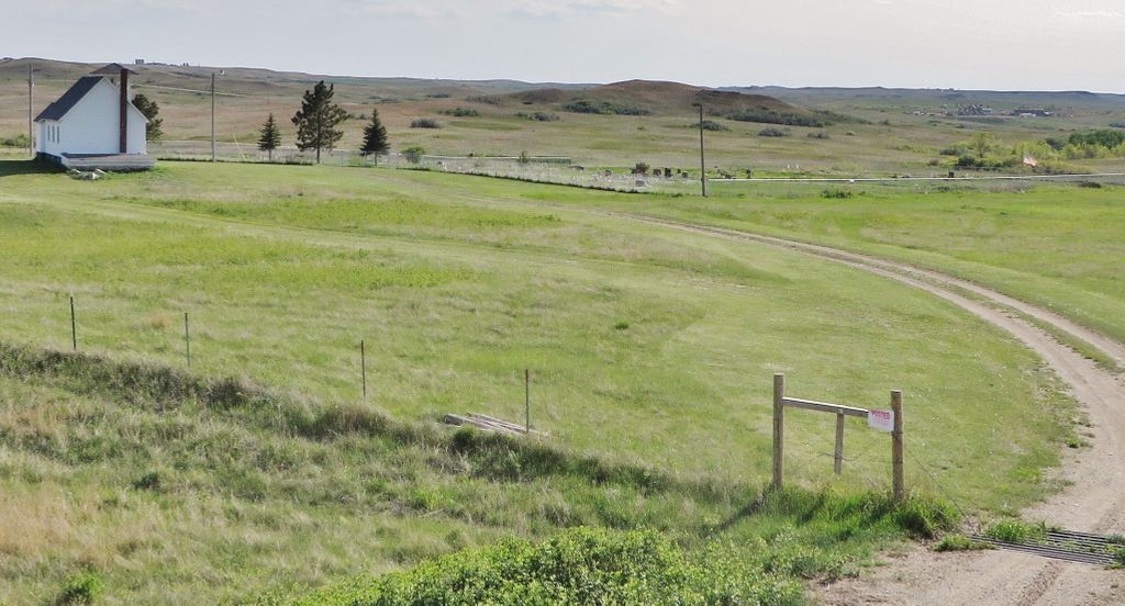
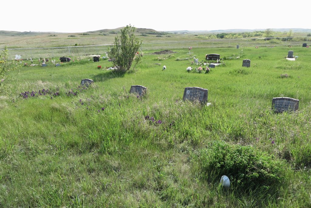
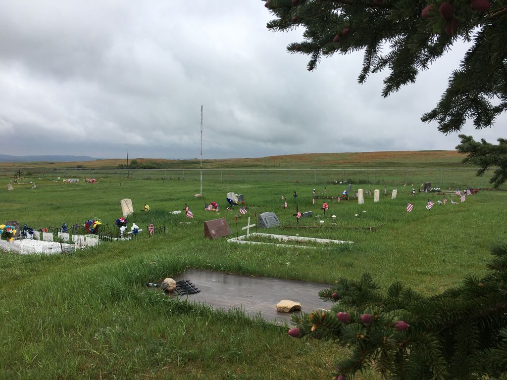
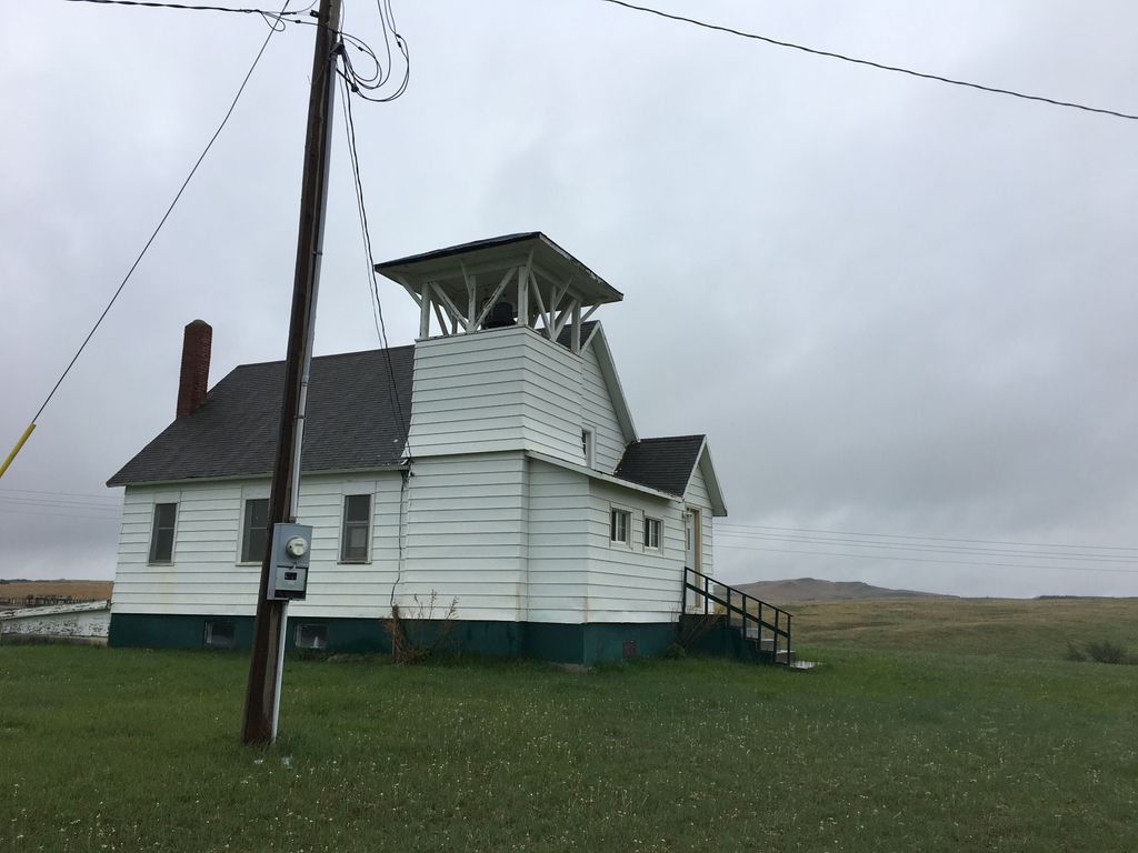
| Description | : | The cemetery is located on the Fort Berthold Indian Reservation behind the church and it is on the west side of Bureau of Indian Affairs Road 13 just .5 miles north of Hale Marinna Road |
frequently asked questions (FAQ):
-
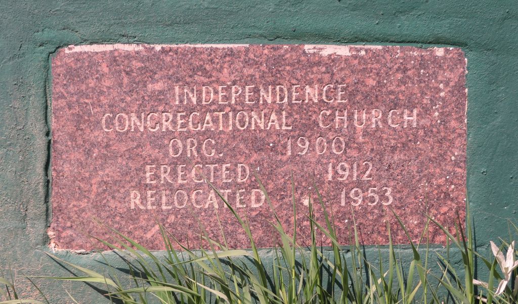
Where is Independence Congregational Church Cemetery?
Independence Congregational Church Cemetery is located at Dunn County ,North Dakota ,USA.
-
Independence Congregational Church Cemetery cemetery's updated grave count on graveviews.com?
0 memorials
-
Where are the coordinates of the Independence Congregational Church Cemetery?
Latitude: 47.6944300
Longitude: -102.3767700
Nearby Cemetories:
1. Little Shell Church Cemetery
New Town, Mountrail County, USA
Coordinate: 47.8317986, -102.4509246
2. Holy Family US Scouts Cemetery
Sanish, Mountrail County, USA
Coordinate: 47.8101807, -102.5134048
3. Crowsheart Cemetery
Dunn County, USA
Coordinate: 47.5797005, -102.2322006
4. Saint Anthonys Cemetery
Mandaree, McKenzie County, USA
Coordinate: 47.7352300, -102.5972520
5. Saint Anthonys Cemetery
Halliday, Dunn County, USA
Coordinate: 47.7353249, -102.5976379
6. Memorial Congregational Church Cemetery
Raub, McLean County, USA
Coordinate: 47.7030900, -102.1339600
7. Twin Buttes Congregational Cemetery
Twin Buttes, Dunn County, USA
Coordinate: 47.5378250, -102.2528820
8. Saint Josephs Catholic Cemetery
Twin Buttes, Dunn County, USA
Coordinate: 47.5420418, -102.2067841
9. Burr Family Cemetery
Halliday, Dunn County, USA
Coordinate: 47.5139320, -102.2801720
10. Congregational Cemetery
Mandaree, McKenzie County, USA
Coordinate: 47.7315880, -102.6788450
11. Medicine Stone Cemetery
Mercer County, USA
Coordinate: 47.5367012, -102.1706009
12. Immaculate Conception Cemetery
Raub, McLean County, USA
Coordinate: 47.6309540, -102.0590190
13. Queen of Peace Cemetery
Raub, McLean County, USA
Coordinate: 47.7458000, -102.0532990
14. Bethesda Lutheran Church Cemetery
Raub, McLean County, USA
Coordinate: 47.7461800, -102.0486800
15. Chase Cemetery
Mercer County, USA
Coordinate: 47.5074997, -102.1744003
16. Church of God Cemetery
Raub, McLean County, USA
Coordinate: 47.8041344, -102.0656662
17. Holen Cemetery
Mercer County, USA
Coordinate: 47.5149994, -102.1433029
18. Grand Valley Lutheran Cemetery
Sanish, Mountrail County, USA
Coordinate: 47.9222603, -102.5580444
19. Van Hook Cemetery
New Town, Mountrail County, USA
Coordinate: 47.9556045, -102.3660781
20. Saint Johns Cemetery
Halliday, Dunn County, USA
Coordinate: 47.4289017, -102.3321991
21. Defiance Cemetery
Mercer County, USA
Coordinate: 47.4432983, -102.1847000
22. Lucky Mound Lutheran Cemetery
McLean County, USA
Coordinate: 47.8338990, -102.0010640
23. Congregational Cemetery
Golden Valley, Mercer County, USA
Coordinate: 47.5016000, -102.0580600
24. Parshall Cemetery
Parshall, Mountrail County, USA
Coordinate: 47.9357200, -102.1282000