
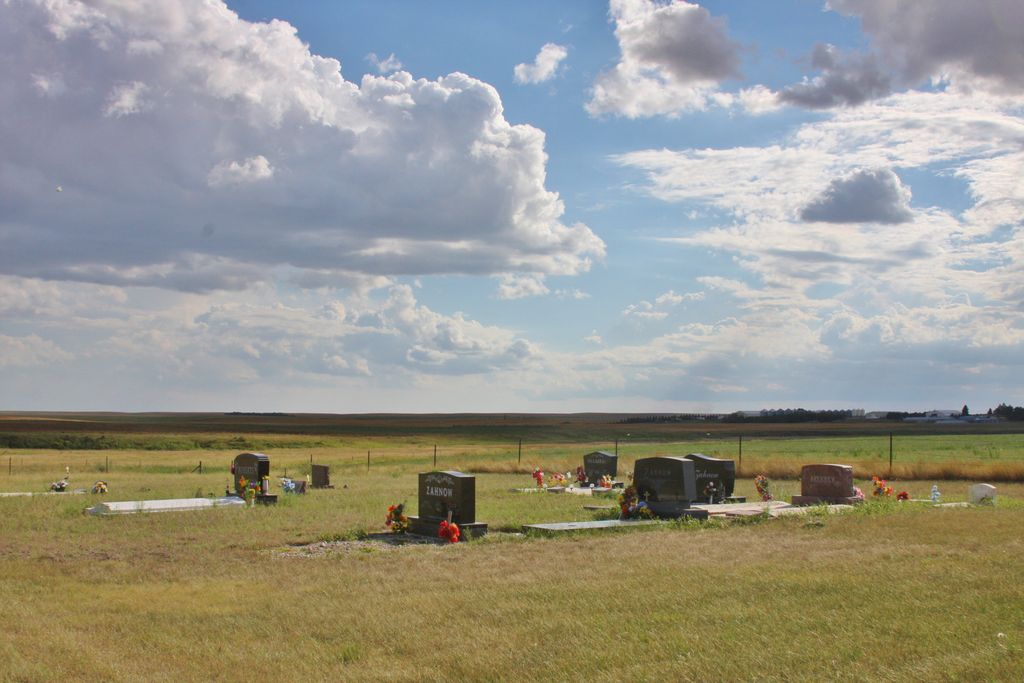
| Memorials | : | 48 |
| Location | : | Raub, McLean County, USA |
| Coordinate | : | 47.7461800, -102.0486800 |
frequently asked questions (FAQ):
-
Where is Bethesda Lutheran Church Cemetery?
Bethesda Lutheran Church Cemetery is located at Raub, McLean County ,North Dakota ,USA.
-
Bethesda Lutheran Church Cemetery cemetery's updated grave count on graveviews.com?
48 memorials
-
Where are the coordinates of the Bethesda Lutheran Church Cemetery?
Latitude: 47.7461800
Longitude: -102.0486800


Nearby Cemetories:
1. Queen of Peace Cemetery
Raub, McLean County, USA
Coordinate: 47.7458000, -102.0532990
2. Church of God Cemetery
Raub, McLean County, USA
Coordinate: 47.8041344, -102.0656662
3. Memorial Congregational Church Cemetery
Raub, McLean County, USA
Coordinate: 47.7030900, -102.1339600
4. Roseglen Baptist Cemetery
Roseglen, McLean County, USA
Coordinate: 47.7738991, -101.9246979
5. Bethlehem Lutheran Cemetery
Roseglen, McLean County, USA
Coordinate: 47.7602882, -101.9143037
6. Lucky Mound Lutheran Cemetery
McLean County, USA
Coordinate: 47.8338990, -102.0010640
7. Immaculate Conception Cemetery
Raub, McLean County, USA
Coordinate: 47.6309540, -102.0590190
8. Indian Scout Cemetery
McLean County, USA
Coordinate: 47.6472015, -101.9175034
9. Arickara Congregational Cemetery
McLean County, USA
Coordinate: 47.6596990, -101.8448640
10. Emrich Cemetery
Roseglen, McLean County, USA
Coordinate: 47.7947180, -101.8082670
11. Immanuel Lutheran Cemetery
Roseglen, McLean County, USA
Coordinate: 47.7315070, -101.7976600
12. Roseglen Cemetery
Roseglen, McLean County, USA
Coordinate: 47.7238998, -101.7636032
13. Parshall Cemetery
Parshall, Mountrail County, USA
Coordinate: 47.9357200, -102.1282000
14. Hiddenwood Cemetery
McLean County, USA
Coordinate: 47.8330994, -101.7743988
15. Crowsheart Cemetery
Dunn County, USA
Coordinate: 47.5797005, -102.2322006
16. Saint Pauls Lutheran Cemetery
Makoti, Ward County, USA
Coordinate: 47.9057560, -101.8191380
17. Saint Bridgets Cemetery
Parshall, Mountrail County, USA
Coordinate: 47.9622700, -102.1328910
18. First Lutheran Wabek Cemetery
Wabek, Mountrail County, USA
Coordinate: 47.9633300, -101.9691000
19. Medicine Stone Cemetery
Mercer County, USA
Coordinate: 47.5367012, -102.1706009
20. Independence Congregational Church Cemetery
Dunn County, USA
Coordinate: 47.6944300, -102.3767700
21. Bureau of Catholic Indian Missions Cemetery
McLean County, USA
Coordinate: 47.5677460, -101.8410090
22. Saint Josephs Catholic Cemetery
Twin Buttes, Dunn County, USA
Coordinate: 47.5420418, -102.2067841
23. Assumption Cemetery
Emmet, McLean County, USA
Coordinate: 47.6323128, -101.7395172
24. Saint Andrews Cemetery
McLean County, USA
Coordinate: 47.5483950, -101.8533860