
| Memorials | : | 0 |
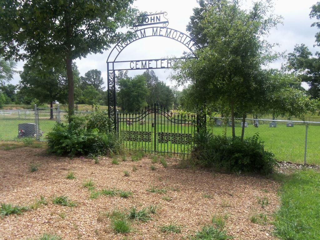
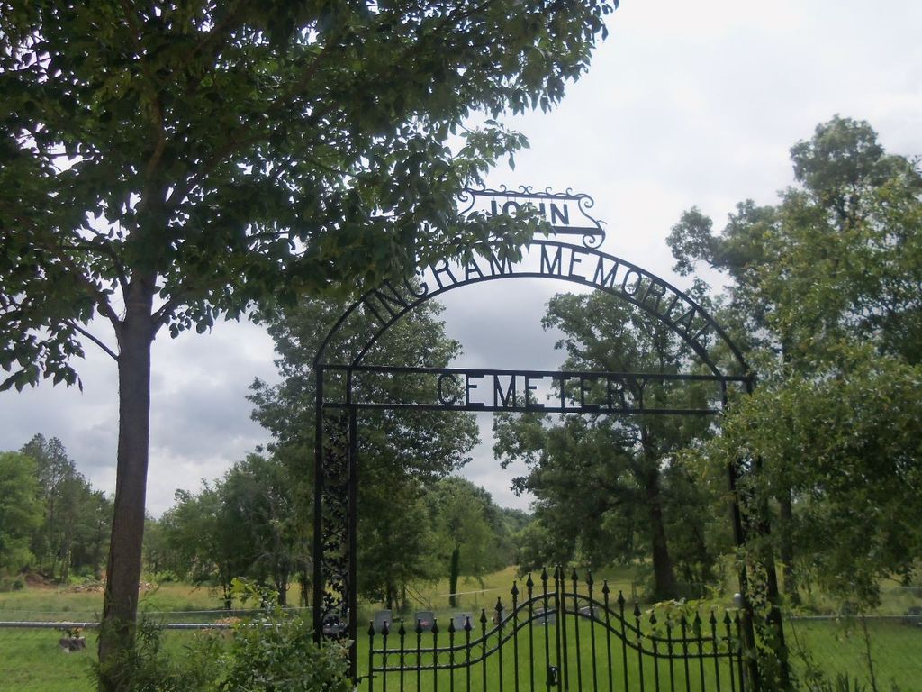
| Location | : | Byhalia, Marshall County, USA |
| Coordinate | : | 34.7941040, -89.7471140 |
| Description | : | From intersection of M-178 & MS-309, head south for 0.8 mi. on MS-309, then turn west (right) on to Stonewall Rd. for 1.9 mi. as it becomes Byhalia Rd., then continue for 2.1 mi. Turn south (left) onto Red Bank Rd. traveling 5.2 mi. before turning east (left) onto Taylor Mills Rd. going 0.6 mi. then turn north (left) onto Walker Mills Rd. The cemetery is at the end of street at the cul-de-sac to the east (right). |
frequently asked questions (FAQ):
-
Where is Ingram Memorial Cemetery?
Ingram Memorial Cemetery is located at Byhalia, Marshall County ,Mississippi ,USA.
-
Ingram Memorial Cemetery cemetery's updated grave count on graveviews.com?
0 memorials
-
Where are the coordinates of the Ingram Memorial Cemetery?
Latitude: 34.7941040
Longitude: -89.7471140
Nearby Cemetories:
1. Ingram Cemetery
Ingrams Mill, DeSoto County, USA
Coordinate: 34.7938540, -89.7467690
2. McCarson-Stafford Cemetery
Ingrams Mill, DeSoto County, USA
Coordinate: 34.7895000, -89.7618000
3. Mount Gilead C.M.E. Church Cemetery
Watson, Marshall County, USA
Coordinate: 34.7941780, -89.7234160
4. Anderson Cemetery #2
Byhalia, Marshall County, USA
Coordinate: 34.7923250, -89.7224240
5. Emory Cemetery
Byhalia, Marshall County, USA
Coordinate: 34.7869110, -89.7176740
6. McKinney Cemetery
Ingrams Mill, DeSoto County, USA
Coordinate: 34.8165800, -89.7689900
7. Mills Family Cemetery
Cockrum, DeSoto County, USA
Coordinate: 34.8135986, -89.7799988
8. Watson Cemetery
Byhalia, Marshall County, USA
Coordinate: 34.7889720, -89.7056530
9. Macedonia Cemetery
DeSoto County, USA
Coordinate: 34.8278260, -89.7252430
10. Pryor Cemetery
Tate County, USA
Coordinate: 34.7658005, -89.7906036
11. Fountainhead Church Cemetery
Lewisburg, DeSoto County, USA
Coordinate: 34.8374900, -89.7678900
12. Harmon Cemetery
Independence, Tate County, USA
Coordinate: 34.7472470, -89.7416630
13. Winbourn Cemetery
Ingrams Mill, DeSoto County, USA
Coordinate: 34.8366620, -89.7727160
14. Mount Austin Cemetery
Hernando, DeSoto County, USA
Coordinate: 34.7874990, -89.8061790
15. New Hope Church Cemetery
Coldwater, Tate County, USA
Coordinate: 34.7620540, -89.7928830
16. Mount Newel Church of God in Christ Cemetery
Coldwater Beach, Mercer County, USA
Coordinate: 34.7436210, -89.7404580
17. New Garden Cemetery
Coldwater, Tate County, USA
Coordinate: 34.7471300, -89.7770200
18. Hopewell Baptist Church Cemetery
Cockrum, DeSoto County, USA
Coordinate: 34.8413020, -89.7770940
19. Whites Chapel Cemetery
Cockrum, DeSoto County, USA
Coordinate: 34.8422560, -89.7773960
20. Cockrum United Methodist Church Cemetery
Hernando, DeSoto County, USA
Coordinate: 34.8023410, -89.8124450
21. Peters Chapel Church Graveyard
Cockrum, DeSoto County, USA
Coordinate: 34.8078900, -89.8127830
22. Stevens Family Cemetery
Cockrum, DeSoto County, USA
Coordinate: 34.7956080, -89.8186400
23. Myers Family Cemetery
DeSoto County, USA
Coordinate: 34.8533630, -89.7315010
24. Drain Family Cemetery
Cockrum, DeSoto County, USA
Coordinate: 34.8211440, -89.8155770