
| Memorials | : | 0 |
| Location | : | Coldwater, Tate County, USA |
| Coordinate | : | 34.7620540, -89.7928830 |
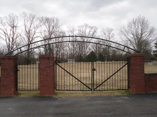
| Description | : | From the intersection of MS-305 & MS-306, south of Independence, travel north on MD-305 N for 3.0 mi.; turning east (right) onto Wakefield Rd., going 1.0 mi.; turning north (left) onto New Hope Rd., going 1.3 mi.; turning east (right) into the entrance driveway & parking area of the New Hope Baptist Church & to near their well-maintained 'deeded' cemetery, as notated on USGS topo maps. |
frequently asked questions (FAQ):
-
Where is New Hope Church Cemetery?
New Hope Church Cemetery is located at 1290 New Hope Road Coldwater, Tate County ,Mississippi ,USA.
-
New Hope Church Cemetery cemetery's updated grave count on graveviews.com?
0 memorials
-
Where are the coordinates of the New Hope Church Cemetery?
Latitude: 34.7620540
Longitude: -89.7928830
Nearby Cemetories:
1. Pryor Cemetery
Tate County, USA
Coordinate: 34.7658005, -89.7906036
2. New Garden Cemetery
Coldwater, Tate County, USA
Coordinate: 34.7471300, -89.7770200
3. Green Family Cemetery
Coldwater, Tate County, USA
Coordinate: 34.7623990, -89.8173470
4. Mount Austin Cemetery
Hernando, DeSoto County, USA
Coordinate: 34.7874990, -89.8061790
5. McCarson-Stafford Cemetery
Ingrams Mill, DeSoto County, USA
Coordinate: 34.7895000, -89.7618000
6. Stevens Family Cemetery
Cockrum, DeSoto County, USA
Coordinate: 34.7956080, -89.8186400
7. Cockrum United Methodist Church Cemetery
Hernando, DeSoto County, USA
Coordinate: 34.8023410, -89.8124450
8. Greenleaf Cemetery
Independence, Tate County, USA
Coordinate: 34.7609680, -89.8457090
9. Jamison Cemetery
Independence, Tate County, USA
Coordinate: 34.7206130, -89.7771390
10. Harmon Cemetery
Independence, Tate County, USA
Coordinate: 34.7472470, -89.7416630
11. Mount Newel Church of God in Christ Cemetery
Coldwater Beach, Mercer County, USA
Coordinate: 34.7436210, -89.7404580
12. Peters Chapel Church Graveyard
Cockrum, DeSoto County, USA
Coordinate: 34.8078900, -89.8127830
13. Ingram Memorial Cemetery
Byhalia, Marshall County, USA
Coordinate: 34.7941040, -89.7471140
14. Ingram Cemetery
Ingrams Mill, DeSoto County, USA
Coordinate: 34.7938540, -89.7467690
15. Hancock Cemetery
Independence, Tate County, USA
Coordinate: 34.7179480, -89.7636780
16. Mills Family Cemetery
Cockrum, DeSoto County, USA
Coordinate: 34.8135986, -89.7799988
17. McKinney Cemetery
Ingrams Mill, DeSoto County, USA
Coordinate: 34.8165800, -89.7689900
18. Drain Family Cemetery
Cockrum, DeSoto County, USA
Coordinate: 34.8211440, -89.8155770
19. Wall Hill Church of Christ Cemetery
Independence, Tate County, USA
Coordinate: 34.7111930, -89.7494050
20. Mount Zion Cemetery
Independence, Tate County, USA
Coordinate: 34.6986008, -89.8080978
21. Anderson Cemetery #2
Byhalia, Marshall County, USA
Coordinate: 34.7923250, -89.7224240
22. Matts Chapel Cemetery
Alphaba, DeSoto County, USA
Coordinate: 34.7839060, -89.8680030
23. Mount Gilead C.M.E. Church Cemetery
Watson, Marshall County, USA
Coordinate: 34.7941780, -89.7234160
24. Emory Cemetery
Byhalia, Marshall County, USA
Coordinate: 34.7869110, -89.7176740