
| Memorials | : | 0 |
| Location | : | Ingrams Mill, DeSoto County, USA |
| Coordinate | : | 34.8165800, -89.7689900 |
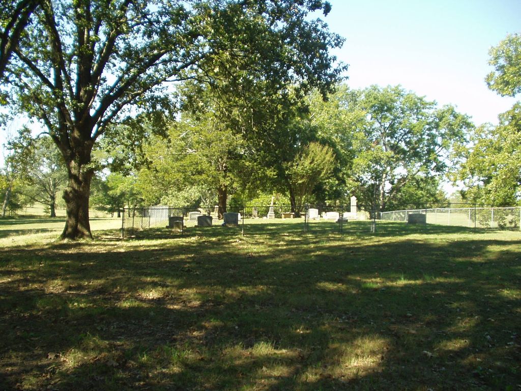
| Description | : | From the intersection of Red Banks Rd. S & I-269/MS304, near Byhalia, travel south on Red Banks Rd. S for 3.7 mi., to the cemetery on the west (right) side of the road, about 150 yards across private property within a fenced enclosure, marked by a few evergreen & large trees. Numerous memorials are visible on satellite view. |
frequently asked questions (FAQ):
-
Where is McKinney Cemetery?
McKinney Cemetery is located at 2990 Red Banks Road S Ingrams Mill, DeSoto County ,Mississippi ,USA.
-
McKinney Cemetery cemetery's updated grave count on graveviews.com?
0 memorials
-
Where are the coordinates of the McKinney Cemetery?
Latitude: 34.8165800
Longitude: -89.7689900
Nearby Cemetories:
1. Mills Family Cemetery
Cockrum, DeSoto County, USA
Coordinate: 34.8135986, -89.7799988
2. Winbourn Cemetery
Ingrams Mill, DeSoto County, USA
Coordinate: 34.8366620, -89.7727160
3. Fountainhead Church Cemetery
Lewisburg, DeSoto County, USA
Coordinate: 34.8374900, -89.7678900
4. Hopewell Baptist Church Cemetery
Cockrum, DeSoto County, USA
Coordinate: 34.8413020, -89.7770940
5. Whites Chapel Cemetery
Cockrum, DeSoto County, USA
Coordinate: 34.8422560, -89.7773960
6. McCarson-Stafford Cemetery
Ingrams Mill, DeSoto County, USA
Coordinate: 34.7895000, -89.7618000
7. Ingram Memorial Cemetery
Byhalia, Marshall County, USA
Coordinate: 34.7941040, -89.7471140
8. Ingram Cemetery
Ingrams Mill, DeSoto County, USA
Coordinate: 34.7938540, -89.7467690
9. Peters Chapel Church Graveyard
Cockrum, DeSoto County, USA
Coordinate: 34.8078900, -89.8127830
10. Macedonia Cemetery
DeSoto County, USA
Coordinate: 34.8278260, -89.7252430
11. Cockrum United Methodist Church Cemetery
Hernando, DeSoto County, USA
Coordinate: 34.8023410, -89.8124450
12. Drain Family Cemetery
Cockrum, DeSoto County, USA
Coordinate: 34.8211440, -89.8155770
13. Herrington Cemetery
Fairhaven, DeSoto County, USA
Coordinate: 34.8558860, -89.7697240
14. Mount Austin Cemetery
Hernando, DeSoto County, USA
Coordinate: 34.7874990, -89.8061790
15. Mount Gilead C.M.E. Church Cemetery
Watson, Marshall County, USA
Coordinate: 34.7941780, -89.7234160
16. Anderson Cemetery #2
Byhalia, Marshall County, USA
Coordinate: 34.7923250, -89.7224240
17. Stevens Family Cemetery
Cockrum, DeSoto County, USA
Coordinate: 34.7956080, -89.8186400
18. Myers Family Cemetery
DeSoto County, USA
Coordinate: 34.8533630, -89.7315010
19. Emory Cemetery
Byhalia, Marshall County, USA
Coordinate: 34.7869110, -89.7176740
20. Pryor Cemetery
Tate County, USA
Coordinate: 34.7658005, -89.7906036
21. New Hope Church Cemetery
Coldwater, Tate County, USA
Coordinate: 34.7620540, -89.7928830
22. Watson Cemetery
Byhalia, Marshall County, USA
Coordinate: 34.7889720, -89.7056530
23. Fairview Cemetery
DeSoto County, USA
Coordinate: 34.8753700, -89.7568360
24. Mount Gilliam Cemetery
Byhalia, Marshall County, USA
Coordinate: 34.8612480, -89.7165700