| Memorials | : | 0 |
| Location | : | Berlin-Mitte, Mitte, Germany |
| Coordinate | : | 52.5319440, 13.3711110 |
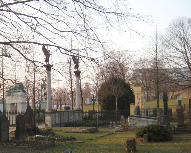
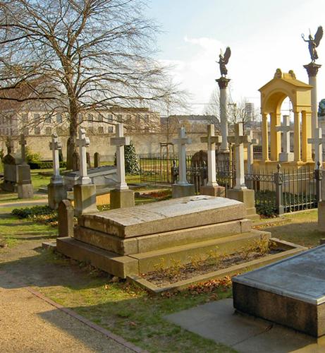
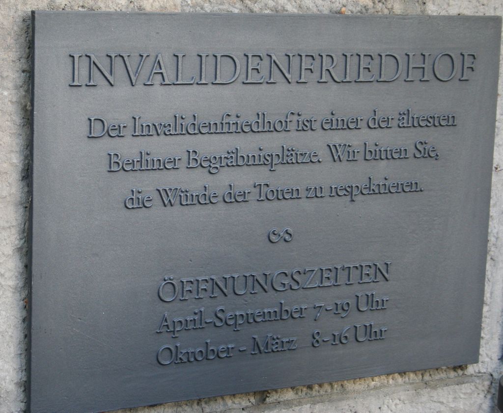
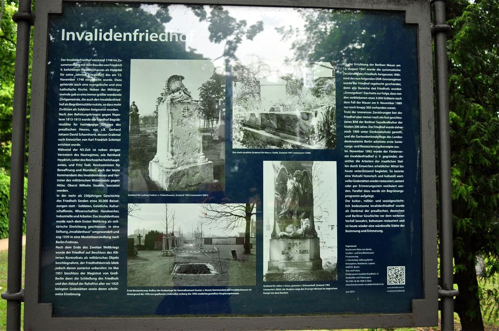
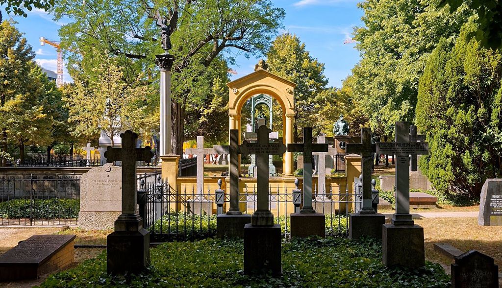
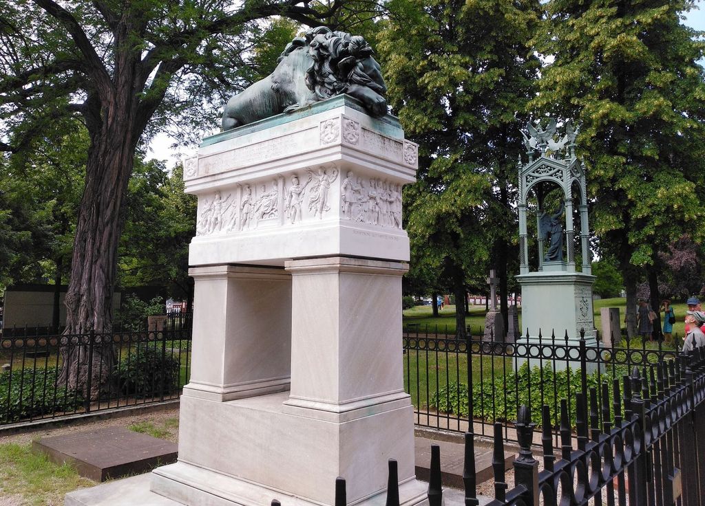
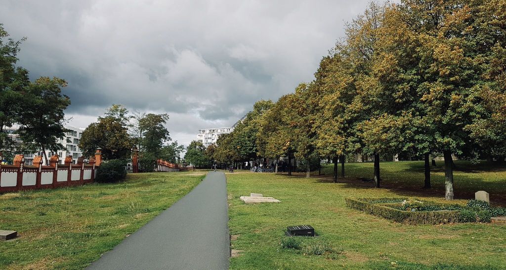
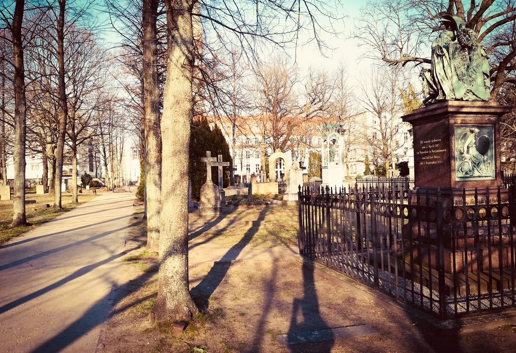
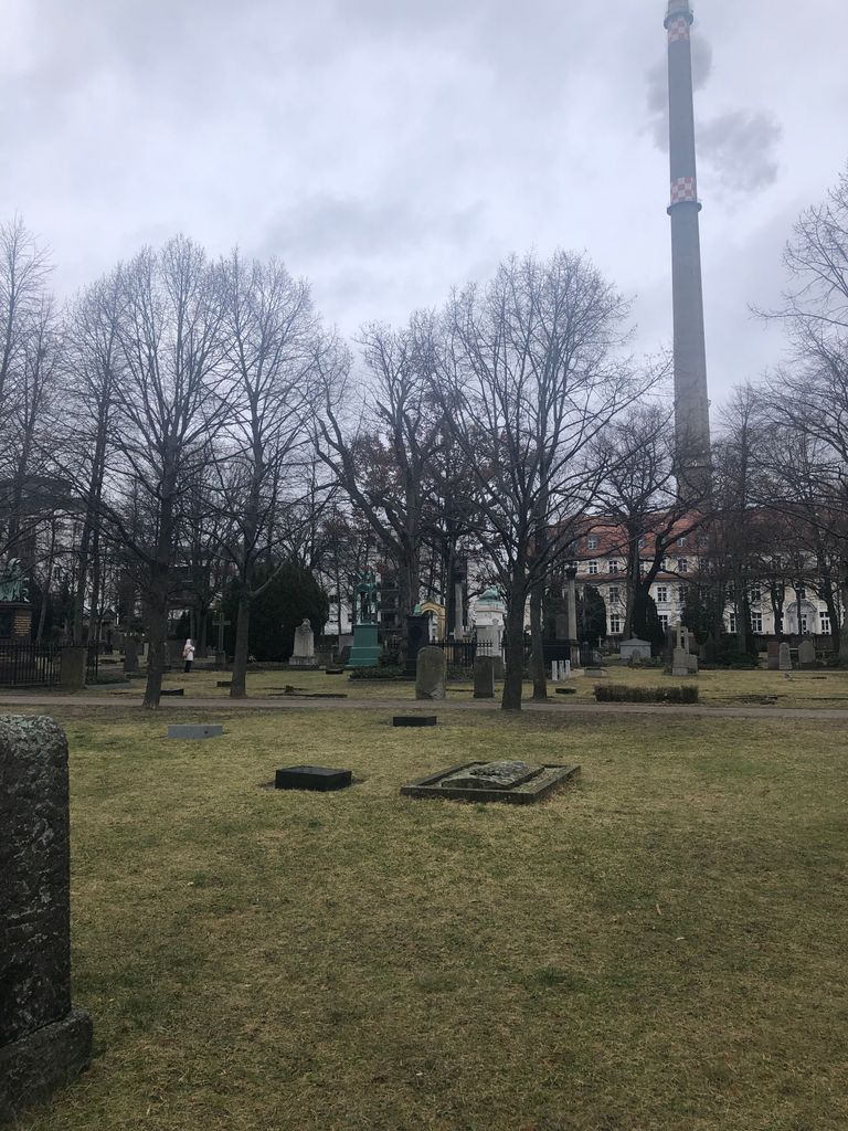
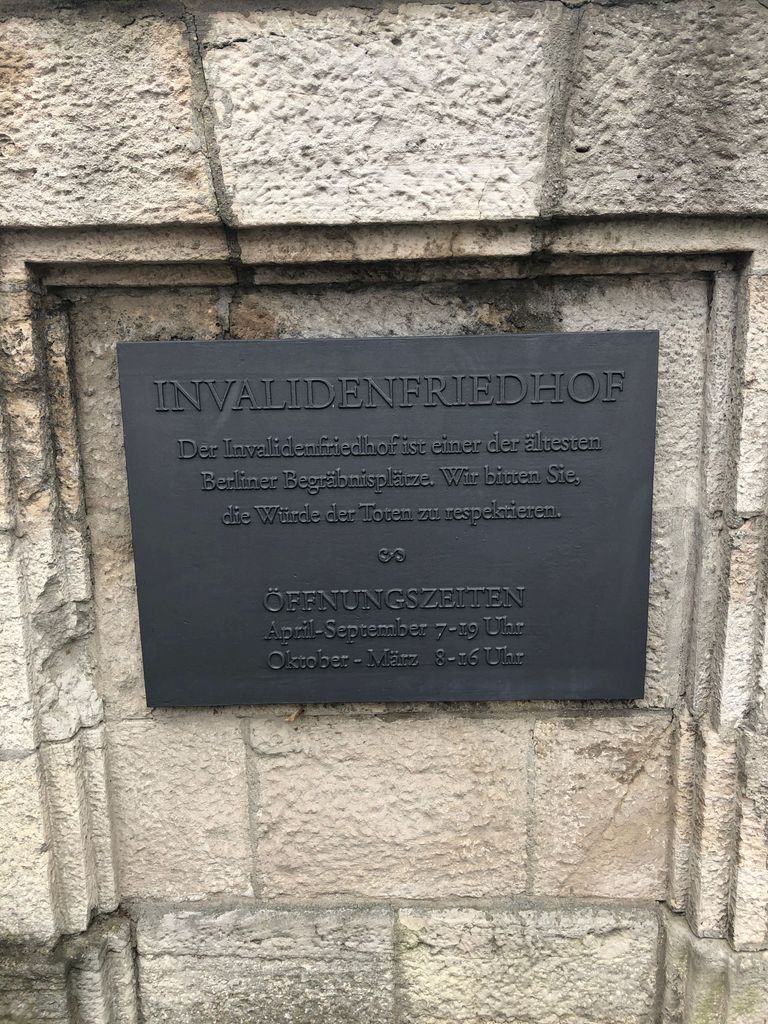
| Description | : | The Invalids' Cemetery is one of Berlin's oldest cemeteries. Traditionally it was the resting place of the Prussian Army. It is particularly important as a memorial to the German Wars of Liberation of 1813-15. Established in 1748 to provide burial for veterans wounded in the War of the Austrian Succession who inhabited the nearby hostel or Invalidenhaus which was built on orders of King Frederick the Great. By royal decree dated 1824 the Invalidenfriedhof became the burial ground for all distinguished Prussian military personnel. The cemetery is the resting place of soldiers killed during the... Read More |
frequently asked questions (FAQ):
-
Where is Invalidenfriedhof?
Invalidenfriedhof is located at Scharnhorststraße 33 Berlin-Mitte, Mitte ,Berlin , 10115Germany.
-
Invalidenfriedhof cemetery's updated grave count on graveviews.com?
0 memorials
-
Where are the coordinates of the Invalidenfriedhof?
Latitude: 52.5319440
Longitude: 13.3711110
Nearby Cemetories:
1. Beamtenfriedhof Berlin-Moabit
Moabit, Mitte, Germany
Coordinate: 52.5281527, 13.3653357
2. Domfriedhof I
Berlin-Mitte, Mitte, Germany
Coordinate: 52.5380200, 13.3772390
3. Französischer Friedhof II
Berlin-Mitte, Mitte, Germany
Coordinate: 52.5382700, 13.3777100
4. Alter Domfriedhof St. Hedwig
Berlin-Mitte, Mitte, Germany
Coordinate: 52.5384500, 13.3782700
5. Dorotheenstädtisch-Friedrichwerderscher Friedhof I
Berlin-Mitte, Mitte, Germany
Coordinate: 52.5284110, 13.3837040
6. Dorotheenstädtischer Friedhof II
Mitte, Germany
Coordinate: 52.5401230, 13.3782990
7. Französischer Friedhof I
Berlin-Mitte, Mitte, Germany
Coordinate: 52.5274200, 13.3847300
8. Friedhof der Sophiengemeinde II
Berlin-Mitte, Mitte, Germany
Coordinate: 52.5333880, 13.3917080
9. St. Elisabeth-Friedhof I
Mitte, Germany
Coordinate: 52.5352287, 13.3926849
10. Friedhof Wilnsnacker Straße
Mitte, Germany
Coordinate: 52.5250190, 13.3506060
11. Sankt Johannis-Friedhof I
Moabit, Mitte, Germany
Coordinate: 52.5253600, 13.3498050
12. Urnenfriedhof Gerichtstrasse
Wedding, Mitte, Germany
Coordinate: 52.5461780, 13.3640310
13. Sowjetisches Ehrenmal im Tiergarten
Tiergarten, Mitte, Germany
Coordinate: 52.5165994, 13.3719369
14. Haurvig Kirke
Norre Havrvig, Ringkøbing-Skjern Kommune, Denmark
Coordinate: 52.5161810, 13.3769350
15. Robert Koch Institut
Moabit, Mitte, Germany
Coordinate: 52.5391670, 13.3472220
16. Ehemalige Franziskanerklosterkirche
Berlin-Mitte, Mitte, Germany
Coordinate: 52.5166670, 13.3833330
17. Friedhof Turiner Strasse
Wedding, Mitte, Germany
Coordinate: 52.5490870, 13.3589780
18. Alter Jüdischer Friedhof
Berlin-Mitte, Mitte, Germany
Coordinate: 52.5241670, 13.4002780
19. Alter Garnisonfriedhof
Berlin-Mitte, Mitte, Germany
Coordinate: 52.5284900, 13.4041400
20. Sankt-Hedwigs-Kathedrale
Berlin-Mitte, Mitte, Germany
Coordinate: 52.5158330, 13.3947220
21. Berliner Dom
Berlin-Mitte, Mitte, Germany
Coordinate: 52.5190900, 13.4009200
22. Nazareth-Kirchhof I
Wedding, Mitte, Germany
Coordinate: 52.5452260, 13.3402350
23. St. Paul-Friedhof
Wedding, Mitte, Germany
Coordinate: 52.5452260, 13.3402350
24. Urnenfriedhof Seestrasse
Wedding, Mitte, Germany
Coordinate: 52.5527940, 13.3551260


