
| Memorials | : | 1 |
| Location | : | Spring Brook, Dunn County, USA |
| Coordinate | : | 44.8527985, -91.7786026 |
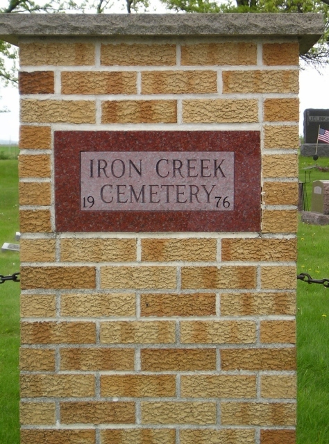
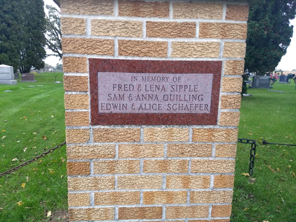
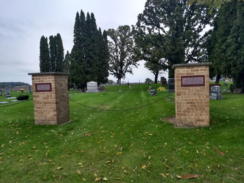
| Description | : | A small rural church affiliated cemetery located east of the city of Menomonie and west of the village of Elk Mound at the intersection of County Highway E and 765th Street on the north side of the highway. Plat map: T.26-27 N.-R.12 W section 1, Dunn County Wisconsin. |
frequently asked questions (FAQ):
-
Where is Iron Creek Cemetery?
Iron Creek Cemetery is located at County Highway E and 765th St Spring Brook, Dunn County ,Wisconsin ,USA.
-
Iron Creek Cemetery cemetery's updated grave count on graveviews.com?
1 memorials
-
Where are the coordinates of the Iron Creek Cemetery?
Latitude: 44.8527985
Longitude: -91.7786026
Nearby Cemetories:
1. Saint Johns Lutheran Cemetery
Menomonie, Dunn County, USA
Coordinate: 44.8568993, -91.8022003
2. Waneka Cemetery
Elk Mound, Dunn County, USA
Coordinate: 44.8356018, -91.7425003
3. Saint Joseph Cemetery
Elk Mound, Dunn County, USA
Coordinate: 44.8555984, -91.7058029
4. Fall City Cemetery
Downsville, Dunn County, USA
Coordinate: 44.7919006, -91.7510986
5. Beyer Settlement Cemetery
Red Cedar, Dunn County, USA
Coordinate: 44.9161110, -91.7925520
6. Froens Cemetery
Menomonie, Dunn County, USA
Coordinate: 44.8288994, -91.8728027
7. Potters Field Cemetery
Menomonie, Dunn County, USA
Coordinate: 44.8898900, -91.8701000
8. Forest Center Cemetery
Falls City, Dunn County, USA
Coordinate: 44.7785450, -91.8003850
9. Evergreen Cemetery
Elk Mound, Dunn County, USA
Coordinate: 44.8586693, -91.6702652
10. Little Elk Creek Cemetery
Downsville, Dunn County, USA
Coordinate: 44.8101000, -91.8726000
11. Sand Hill Cemetery
Caryville, Dunn County, USA
Coordinate: 44.7705994, -91.7416992
12. Barum Cemetery
Elk Mound, Dunn County, USA
Coordinate: 44.9049900, -91.6710400
13. Cedar Falls Cemetery
Cedar Falls, Dunn County, USA
Coordinate: 44.9247017, -91.8656006
14. Peace Lutheran Cemetery
Menomonie, Dunn County, USA
Coordinate: 44.8502998, -91.9152985
15. Springbrook Lutheran Cemetery
Caryville, Dunn County, USA
Coordinate: 44.7750015, -91.6908035
16. Saint Pauls Cemetery
Menomonie, Dunn County, USA
Coordinate: 44.8532982, -91.9199982
17. Evergreen Cemetery
Menomonie, Dunn County, USA
Coordinate: 44.8888000, -91.9122000
18. Saint Josephs Cemetery
Menomonie, Dunn County, USA
Coordinate: 44.8835983, -91.9150009
19. Tainter Church Cemetery
Cedar Falls, Dunn County, USA
Coordinate: 44.9542800, -91.8130100
20. First Congregational UCC Columbarium
Menomonie, Dunn County, USA
Coordinate: 44.8752100, -91.9249900
21. Faith Church Cemetery
Menomonie, Dunn County, USA
Coordinate: 44.9196050, -91.8974710
22. Peterson Cemetery
Caryville, Dunn County, USA
Coordinate: 44.7667007, -91.6757965
23. Rock Creek Cemetery
Meridean, Dunn County, USA
Coordinate: 44.7383003, -91.7613983
24. Pleasant Valley Cemetery
Dunnville, Dunn County, USA
Coordinate: 44.7528000, -91.8732986