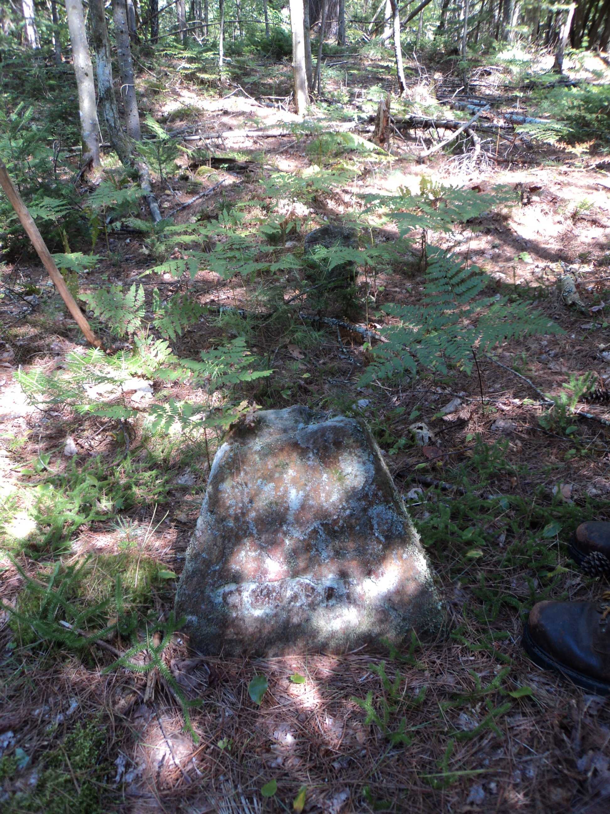
| Memorials | : | 1 |
| Location | : | Barnstead, Belknap County, USA |
| Coordinate | : | 43.3433760, -71.1928650 |
| Description | : | Lone grave deep in the woods. Located in the Grau Town Forest, Barnstead, NH. James Clark died at the age of 6. NHOGA: B01-128 Clark, off Snackerty, USGS Parker Mountain Quadrangle, E32214, N480100, Zone 19 (43° 20' 34"N, 71° 11' 39"W), The James Clark site, Source: Stuart Merrill 1994 |
frequently asked questions (FAQ):
-
Where is James Clark Burial Site?
James Clark Burial Site is located at Grau Town Forest - Deep in the woods Barnstead, Belknap County ,New Hampshire ,USA.
-
James Clark Burial Site cemetery's updated grave count on graveviews.com?
1 memorials
-
Where are the coordinates of the James Clark Burial Site?
Latitude: 43.3433760
Longitude: -71.1928650
Nearby Cemetories:
1. Trickey Cemetery
Barnstead, Belknap County, USA
Coordinate: 43.3470280, -71.1936810
2. Enoch Howard Burial Site
Barnstead, Belknap County, USA
Coordinate: 43.3481820, -71.1934230
3. Pitman Family Cemetery
Barnstead, Belknap County, USA
Coordinate: 43.3436860, -71.1995490
4. Jethro Nutter Cemetery
Barnstead, Belknap County, USA
Coordinate: 43.3550900, -71.2076700
5. Garland Cemetery
Barnstead, Belknap County, USA
Coordinate: 43.3593220, -71.1875440
6. Drew Hill Cemetery
Barnstead, Belknap County, USA
Coordinate: 43.3492600, -71.1717700
7. Old Muncy Burying Ground
Barnstead, Belknap County, USA
Coordinate: 43.3498000, -71.2148000
8. Holmes Family Cemetery
Strafford, Strafford County, USA
Coordinate: 43.3271200, -71.1798900
9. Garland Cemetery
Barnstead, Belknap County, USA
Coordinate: 43.3587410, -71.1770670
10. Babb-Foss Graveyard
Strafford, Strafford County, USA
Coordinate: 43.3251200, -71.1842100
11. Nathaniel Nutter Cemetery
Barnstead, Belknap County, USA
Coordinate: 43.3575000, -71.2111110
12. Hall - Gray Cemetery
Barnstead, Belknap County, USA
Coordinate: 43.3486110, -71.1666670
13. Hixon-Ayers Cemetery
Barnstead, Belknap County, USA
Coordinate: 43.3650080, -71.1876350
14. Blue Hills Cemetery
Strafford, Strafford County, USA
Coordinate: 43.3248620, -71.1756510
15. Berry Cemetery
Barnstead, Belknap County, USA
Coordinate: 43.3561710, -71.1661510
16. Locke Cemetery
Alton, Belknap County, USA
Coordinate: 43.3656000, -71.1820000
17. Colbath Cemetery
Barnstead, Belknap County, USA
Coordinate: 43.3502780, -71.2244440
18. Welch Cemetery
Barnstead, Belknap County, USA
Coordinate: 43.3200000, -71.2088890
19. John Elliott Cemetery
Barnstead, Belknap County, USA
Coordinate: 43.3428920, -71.2291290
20. McNeal Cemetery
Alton, Belknap County, USA
Coordinate: 43.3700000, -71.1847220
21. Pierce Cemetery
Barnstead, Belknap County, USA
Coordinate: 43.3575000, -71.2263890
22. Shackford Family Cemetery
Barnstead, Belknap County, USA
Coordinate: 43.3559520, -71.2290860
23. Welch Cemetery
Barnstead, Belknap County, USA
Coordinate: 43.3161110, -71.2105560
24. Shackford Cemetery
Barnstead, Belknap County, USA
Coordinate: 43.3558320, -71.2320260

