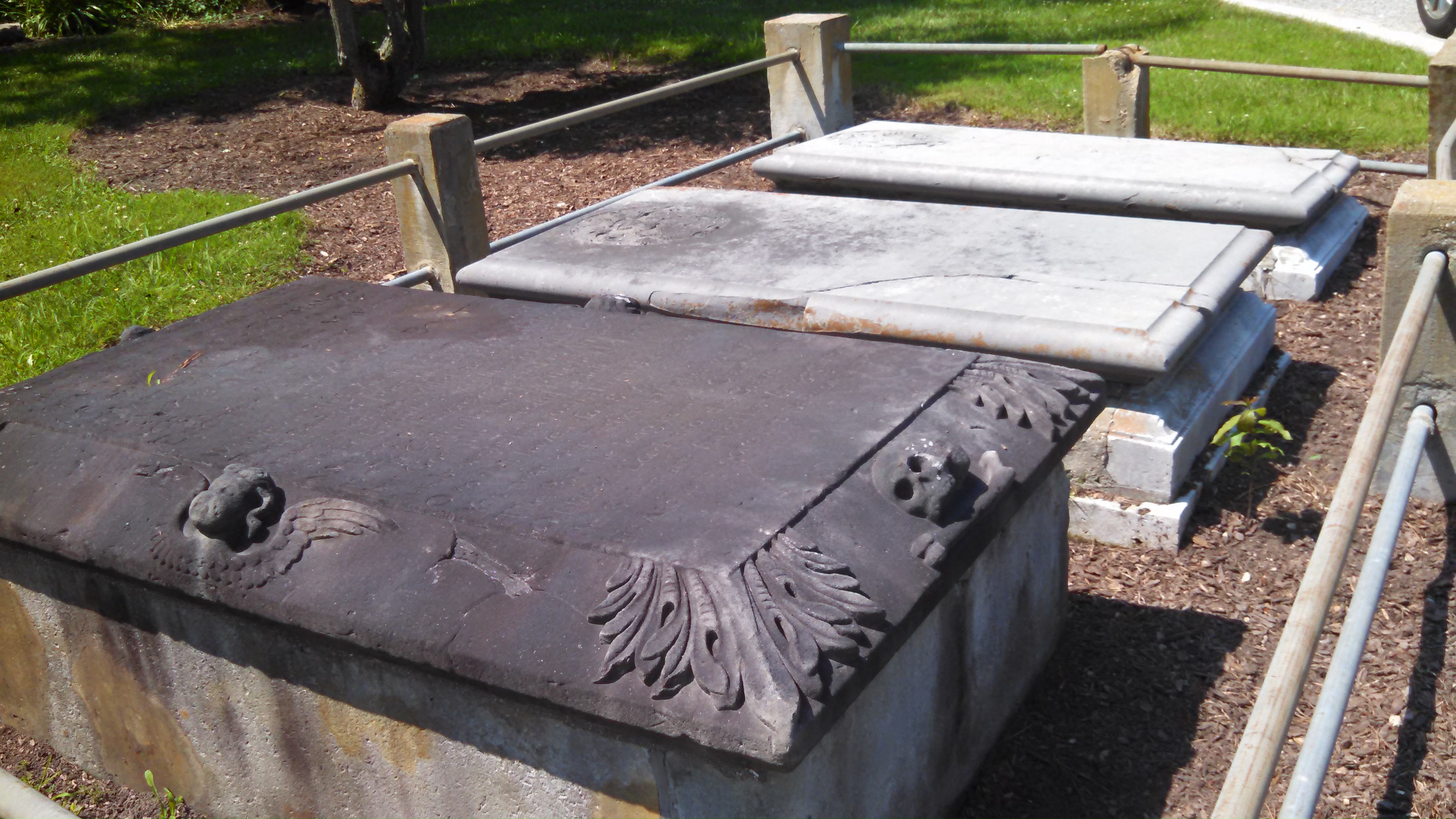
| Memorials | : | 4 |
| Location | : | Schley, Gloucester County, USA |
| Coordinate | : | 37.3820700, -76.4468000 |
| Description | : | This small colonial cemetery is near the end of Jarvis Point Lane in Schley, Ware Neck, Gloucester County, Virginia. It is also known as Jarvis Farm Cemetery. There are 3 graves enclosed by a low protective fence for Mary Booth, d. 1723, Thomas Booth, d. 1736, and John Booth, d. 1748. Visitors should treat this cemetery as private property and behave accordingly. Thomas Booth, who had been managing the lands of Robert Bristow on Ware Neck since about 1700, was collecting his own land in the area and acquired the Boswell homestead about 1716 and built his own home... Read More |
frequently asked questions (FAQ):
-
Where is Jarvis Cemetery?
Jarvis Cemetery is located at Jarvis Point Lane Schley, Gloucester County ,Virginia , 23061USA.
-
Jarvis Cemetery cemetery's updated grave count on graveviews.com?
4 memorials
-
Where are the coordinates of the Jarvis Cemetery?
Latitude: 37.3820700
Longitude: -76.4468000
Nearby Cemetories:
1. Beulah Baptist Church Cemetery
Schley, Gloucester County, USA
Coordinate: 37.3837980, -76.4425980
2. Singleton United Methodist Church Cemetery
Schley, Gloucester County, USA
Coordinate: 37.3909380, -76.4508860
3. Peter W. Smith Family Cemetery
Gloucester County, USA
Coordinate: 37.3852759, -76.4637594
4. Chandler Cemetery
Gloucester County, USA
Coordinate: 37.3829460, -76.4282580
5. Pole Bridge Cemetery
Ware Neck, Gloucester County, USA
Coordinate: 37.4023590, -76.4399470
6. Davis Cemetery
Gloucester County, USA
Coordinate: 37.4009490, -76.4248900
7. Sinclair Cemetery
Gloucester County, USA
Coordinate: 37.3558006, -76.4555969
8. Oak Grove Cemetery
Selden, Gloucester County, USA
Coordinate: 37.3563995, -76.4666977
9. Severn Presbyterian Church Cemetery
Naxera, Gloucester County, USA
Coordinate: 37.3469960, -76.4523550
10. Auburn Cemetery
Mathews, Mathews County, USA
Coordinate: 37.4231620, -76.4311980
11. Saint Pauls Cemetery
Roanes, Gloucester County, USA
Coordinate: 37.3678017, -76.5000000
12. Sibley Family Cemetery
Bohannon, Mathews County, USA
Coordinate: 37.3974400, -76.3928100
13. Warner Hall Graveyard
Naxera, Gloucester County, USA
Coordinate: 37.3397080, -76.4747000
14. Gayle-Hudgins Cemetery
Mathews County, USA
Coordinate: 37.4313801, -76.4413433
15. Zion Poplars Baptist Church Cemetery
Gloucester, Gloucester County, USA
Coordinate: 37.3994320, -76.5085530
16. Yeatman Plantation Cemetery
Foster, Mathews County, USA
Coordinate: 37.4360966, -76.4426093
17. Shiloh Cemetery
Gloucester, Gloucester County, USA
Coordinate: 37.3996010, -76.5123030
18. Oakland Creek Burials
Cardinal, Mathews County, USA
Coordinate: 37.4266395, -76.3948929
19. Ware Episcopal Church Cemetery
Gloucester, Gloucester County, USA
Coordinate: 37.4227470, -76.5078880
20. Old Groves Memorial Cemetery
Gloucester County, USA
Coordinate: 37.3151700, -76.4490800
21. Emmaus Baptist Church Cemetery
Mathews County, USA
Coordinate: 37.4437486, -76.4052237
22. First United Baptist Church Cemetery
Gloucester, Gloucester County, USA
Coordinate: 37.3713340, -76.5344850
23. Groves Memorial Presbyterian Church Cemetery
Hayes, Gloucester County, USA
Coordinate: 37.3116120, -76.4581760
24. Poplar Woods Cemetery
Cardinal, Mathews County, USA
Coordinate: 37.4205584, -76.3710153

