
| Memorials | : | 0 |
| Location | : | Cologne, Stadtkreis Köln, Germany |
| Website | : | www.stadt-koeln.de/leben-in-koeln/freizeit-natur-sport/friedhoefe/adressen/weiden-neu |
| Coordinate | : | 50.9404000, 6.8209600 |
| Description | : | Cemeteries of Cologne |
frequently asked questions (FAQ):
-
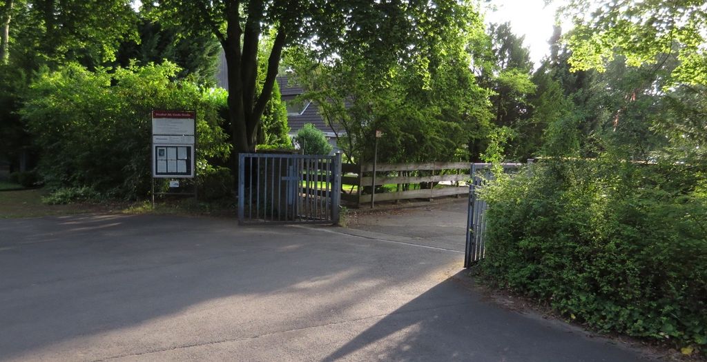
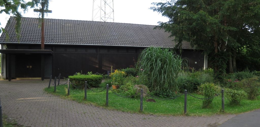
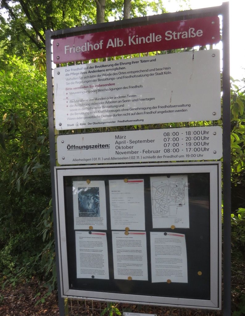
Where is Friedhof Albert-Kindle-Straße Weiden neu?
Friedhof Albert-Kindle-Straße Weiden neu is located at Albert-Kindle-Str. Cologne, Stadtkreis Köln ,Nordrhein-Westfalen , 50859Germany.
-
Friedhof Albert-Kindle-Straße Weiden neu cemetery's updated grave count on graveviews.com?
0 memorials
-
Where are the coordinates of the Friedhof Albert-Kindle-Straße Weiden neu?
Latitude: 50.9404000
Longitude: 6.8209600
Nearby Cemetories:
1. Friedhof Lövenich
Cologne, Stadtkreis Köln, Germany
Coordinate: 50.9432800, 6.8183800
2. Friedhof Gartenweg Weiden alt
Cologne, Stadtkreis Köln, Germany
Coordinate: 50.9402200, 6.8287500
3. Friedhof Turmgasse Widdersdorf alt
Cologne, Stadtkreis Köln, Germany
Coordinate: 50.9635800, 6.8274900
4. Alter Friedhof Junkersdorf
Cologne, Stadtkreis Köln, Germany
Coordinate: 50.9338800, 6.8569800
5. Friedhof Junkersdorf
Cologne, Stadtkreis Köln, Germany
Coordinate: 50.9305200, 6.8578400
6. Friedhof Hauptstraße Widdersdorf neu
Cologne, Stadtkreis Köln, Germany
Coordinate: 50.9653200, 6.8291100
7. Friedhof Königsdorf-Süd
Frechen, Rhein-Erft-Kreis, Germany
Coordinate: 50.9328850, 6.7749860
8. Kirchhof Sankt Audomar
Frechen, Rhein-Erft-Kreis, Germany
Coordinate: 50.9090500, 6.8152100
9. Brauweiler Abbey
Pulheim, Rhein-Erft-Kreis, Germany
Coordinate: 50.9611400, 6.7828300
10. Brauweiler Cemetery
Pulheim, Rhein-Erft-Kreis, Germany
Coordinate: 50.9581130, 6.7753765
11. Friedhof Sankt Audomar
Frechen, Rhein-Erft-Kreis, Germany
Coordinate: 50.9066800, 6.8167500
12. Kleinkönigsdorfer Friedhof
Königsdorf, Rhein-Erft-Kreis, Germany
Coordinate: 50.9430976, 6.7651562
13. Friedhof Müngersdorf
Cologne, Stadtkreis Köln, Germany
Coordinate: 50.9404500, 6.8819300
14. Friedhof Bachem
Frechen, Rhein-Erft-Kreis, Germany
Coordinate: 50.9017300, 6.8167700
15. Jüdischer Friedhof
Frechen, Rhein-Erft-Kreis, Germany
Coordinate: 50.9015312, 6.8057133
16. Friedhof Bocklemünd
Cologne, Stadtkreis Köln, Germany
Coordinate: 50.9750000, 6.8611560
17. Jüdischer Friedhof Bocklmünd
Cologne, Stadtkreis Köln, Germany
Coordinate: 50.9705490, 6.8714300
18. Westfriedhof
Cologne, Stadtkreis Köln, Germany
Coordinate: 50.9718330, 6.8786430
19. Ahlbach Columbarium
Cologne, Stadtkreis Köln, Germany
Coordinate: 50.9580820, 6.8983632
20. Jüdischer Friedhof Deckstein
Lindenthal, Stadtkreis Köln, Germany
Coordinate: 50.9192300, 6.8974300
21. Grabeskirche Sankt Bartholomäus
Cologne, Stadtkreis Köln, Germany
Coordinate: 50.9537877, 6.9035280
22. Hürth-Efferen Friedhof
Efferen, Rhein-Erft-Kreis, Germany
Coordinate: 50.9029100, 6.8885100
23. Krieler Dömchen Alt Sankt Stephan
Stadtkreis Köln, Germany
Coordinate: 50.9194440, 6.9061110
24. Frechen-Grefrath Cemetery
Frechen, Rhein-Erft-Kreis, Germany
Coordinate: 50.9022543, 6.7521958