
| Memorials | : | 23 |
| Location | : | Jericho, Monroe County, USA |
| Coordinate | : | 39.6150742, -81.1087189 |
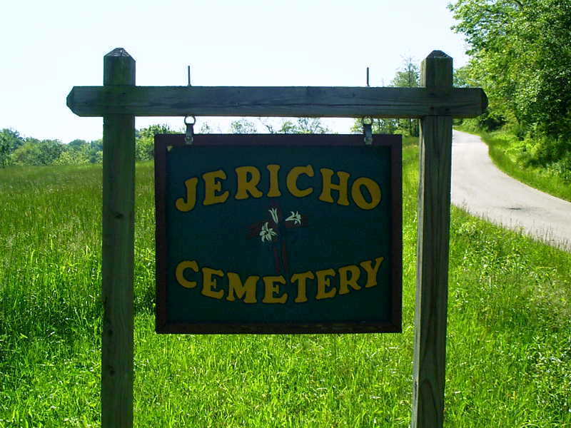
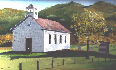
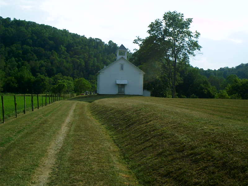
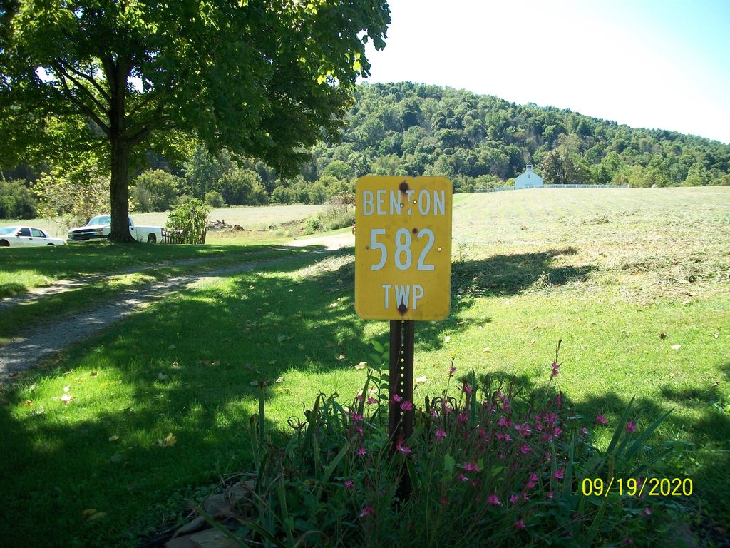
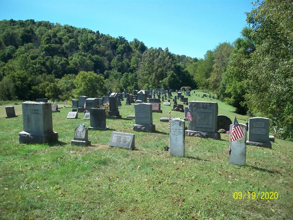
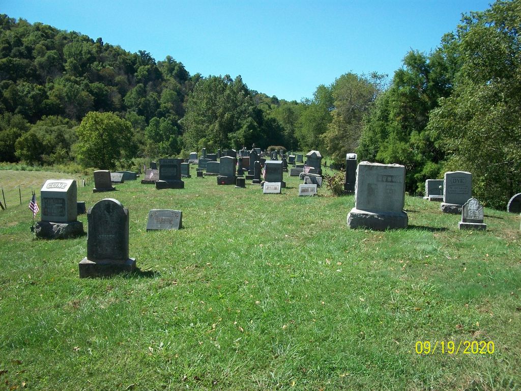
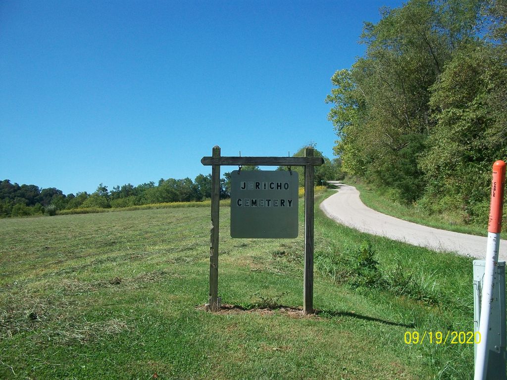
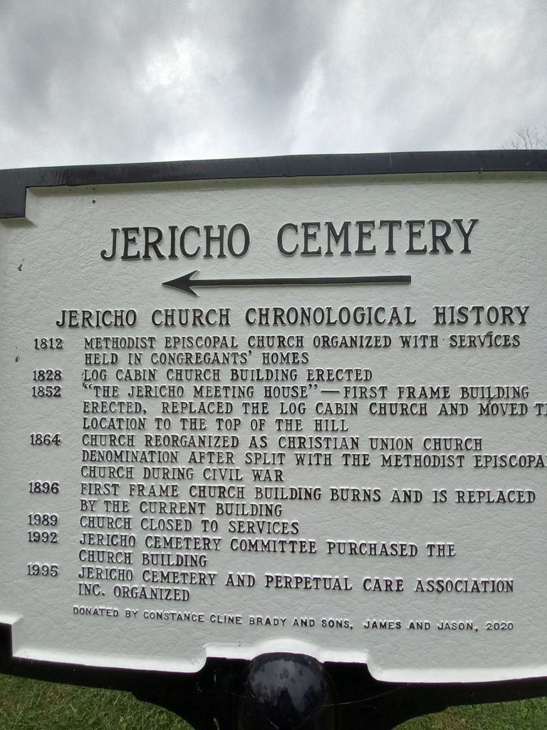
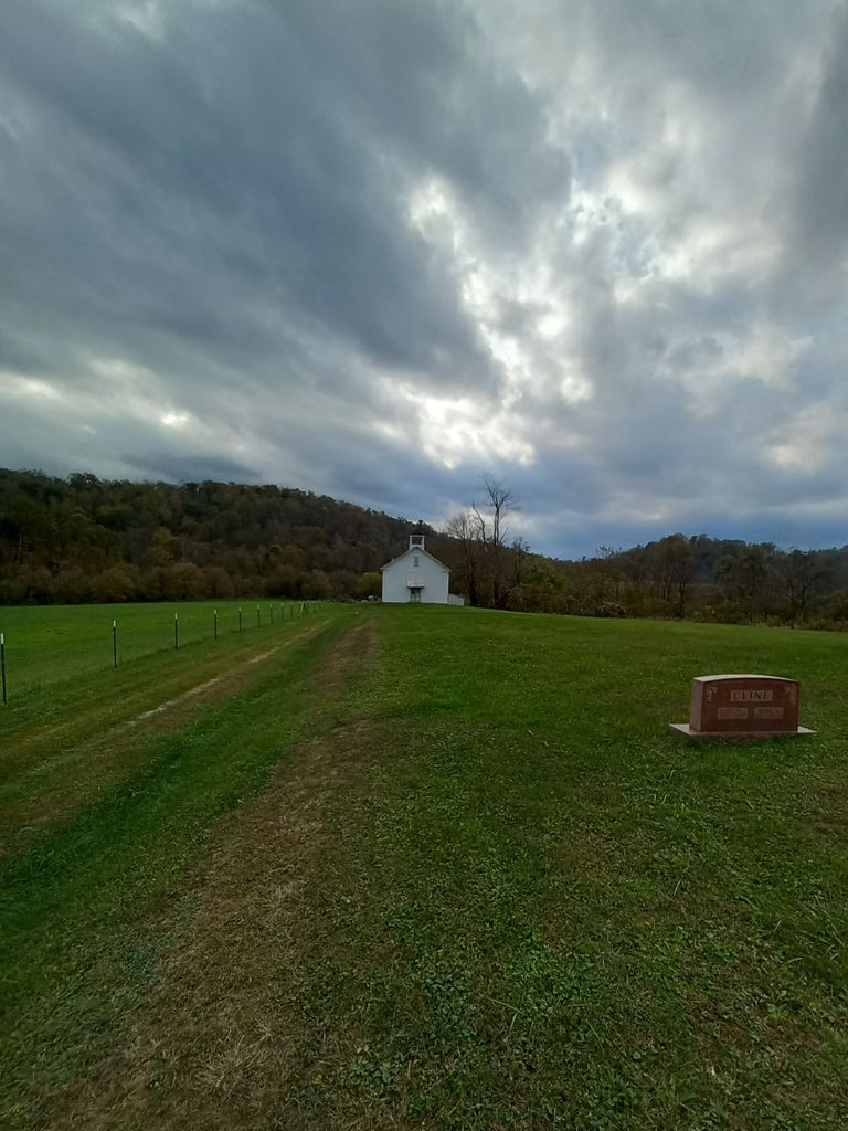
| Description | : | The cemetery is located on the southwest end of Rock Camp Road (Township Road 562) about 900 feet southwest of its intersection with Greenbrier Road (County Road 12). The cemetery is 0.87 acres in size. The cemetery is located in Benton Township, Monroe County, Ohio, and is # 9037 (Jericho Methodist Cemetery) in “Ohio Cemeteries 1803-2003”, compiled by the Ohio Genealogical Society. The U.S. Geological Survey (USGS) Geographic Names Information System (GNIS) feature ID for the cemetery is 1963767 (Jericho Methodist Cemetery). |
frequently asked questions (FAQ):
-
Where is Jericho Methodist Cemetery?
Jericho Methodist Cemetery is located at Rock Camp Road (Township Road 562) Jericho, Monroe County ,Ohio , 45767USA.
-
Jericho Methodist Cemetery cemetery's updated grave count on graveviews.com?
21 memorials
-
Where are the coordinates of the Jericho Methodist Cemetery?
Latitude: 39.6150742
Longitude: -81.1087189

Nearby Cemetories:
1. Rings Mill Cemetery
Poulton, Monroe County, USA
Coordinate: 39.6117407, -81.1212206
2. Greenbrier Cemetery
Greenbrier, Monroe County, USA
Coordinate: 39.6406000, -81.1186400
3. Hensel Cemetery
Brownsville, Monroe County, USA
Coordinate: 39.5919456, -81.0866699
4. German Lutheran Cemetery
Brownsville, Monroe County, USA
Coordinate: 39.5911102, -81.0858307
5. Brownsville United Presbyterian Church Cemetery
Brownsville, Monroe County, USA
Coordinate: 39.5900002, -81.0866699
6. Brownsville Methodist Cemetery
Brownsville, Monroe County, USA
Coordinate: 39.5884094, -81.0837173
7. Low Gap Cemetery
Cline, Monroe County, USA
Coordinate: 39.6075745, -81.1592789
8. Black Mary Cemetery
New Matamoras, Washington County, USA
Coordinate: 39.5723180, -81.1073010
9. Rinard Mills Cemetery
Monroe County, USA
Coordinate: 39.5839615, -81.1567764
10. Mann Cemetery
Graysville, Monroe County, USA
Coordinate: 39.6553001, -81.1502991
11. Unity Baptist Cemetery
Antioch, Monroe County, USA
Coordinate: 39.6428520, -81.0506619
12. Salem Hall Cemetery
Grandview, Washington County, USA
Coordinate: 39.5603981, -81.1095963
13. Cooper Cemetery
Glass, Washington County, USA
Coordinate: 39.5642815, -81.1388397
14. Saint Pauls Evangelical Church Cemetery
Antioch, Monroe County, USA
Coordinate: 39.6145200, -81.0359400
15. Antioch Cemetery
Antioch, Monroe County, USA
Coordinate: 39.6647949, -81.0692749
16. Lentz Cemetery
Antioch, Monroe County, USA
Coordinate: 39.6492004, -81.0472031
17. Fox Family Cemetery
Grandview, Washington County, USA
Coordinate: 39.5566711, -81.1155777
18. Beardmore Cemetery
Perry Township, Monroe County, USA
Coordinate: 39.6706009, -81.1342010
19. Barnard Cemetery
Antioch, Monroe County, USA
Coordinate: 39.6750720, -81.1169730
20. Lamping Cemetery
Graysville, Monroe County, USA
Coordinate: 39.6286846, -81.1884447
21. Plainview Cemetery
Plainview, Monroe County, USA
Coordinate: 39.6781311, -81.1064987
22. Gooseman Grove Cemetery
New Matamoras, Washington County, USA
Coordinate: 39.5525665, -81.0845947
23. Dougherty Cemetery
Monroe County, USA
Coordinate: 39.6767006, -81.1406021
24. Cline Family Cemetery
Monroe County, USA
Coordinate: 39.6669620, -81.1624430